 Hoffman Estates
Woonsocket
Marksville
Natchez
Marquette
Willsboro
Watervliet
Queensbury
Amsterdam
Woodbridge
Bridgewater
Fond du Lac
Edmonds
Cudahy
Rosharon
South Portland
Chanute
Chehalis
Hoquiam
Hoffman Estates
Woonsocket
Marksville
Natchez
Marquette
Willsboro
Watervliet
Queensbury
Amsterdam
Woodbridge
Bridgewater
Fond du Lac
Edmonds
Cudahy
Rosharon
South Portland
Chanute
Chehalis
Hoquiam
New Braunfels on the map, United States
Where is located New Braunfels
Exact location — New Braunfels, Comal County, Texas, United States, marked on the map with a red marker.
Coordinates
New Braunfels, United States coordinates in decimal format: latitude — 29.7030024, longitude — -98.1244531. When converted to degrees, minutes, seconds New Braunfels has the following coordinates: 29°42′10.81 north latitude and -98°7′28.03 east longitude.
Population
New Braunfels, Comal County, Texas, United States, according to our data the population is — 45,840 residents, which is about 0% of the total population of the country (United States).
Comparison of the population on the graph:
Exact time
Time zone for this location New Braunfels — UTC -5 America/Chicago. Exact time — friday, 4 april 2024 year, 16 h. 43 minutes.
Sunrise and sunset
New Braunfels, sunrise and sunset data for a date — friday 19.04.2024.
| Sunrise | Sunset | Day (duration) |
|---|---|---|
| 07:03 -1 minute | 19:59 +1 minute | 12 h. 54 minutes. +2 minutes |
You can control the scale of the map using the auxiliary tools to find out exactly where it is located New Braunfels. When you change the scale of the map, the width of the ruler also changes (in kilometers and miles).
Nearby cities
The largest cities that are located nearby:
- San Antonio — 47 km
- Austin — 72 km
- Killeen — 161 km
- Corpus Christi — 222 km
- Waco — 224 km
- Piedras Negras
 (Mexico) — 258 km
 - Houston — 264 km
- Laredo — 275 km
- Ciudad Acuna (Mexico) — 276 km
- Nuevo Laredo (Mexico) — 283 km
- Abilene — 339 km
- Fort Worth — 345 km
- Arlington — 348 km
- Grand Prairie — 352 km
- Irving — 361 km
- Dallas — 362 km
- Mesquite — 367 km
- Carrollton — 380 km
- Garland — 381 km
Distance to neighboring capitals:
- Mexico City (Mexico) — 1147 km
- Belmopan
 (Belize) — 1680 km
 - Guatemala City
 (Guatemala) — 1850 km
 - Ottawa
 (Canada) — 2623 km
 - Nuuk
 (Greenland) — 5006 km
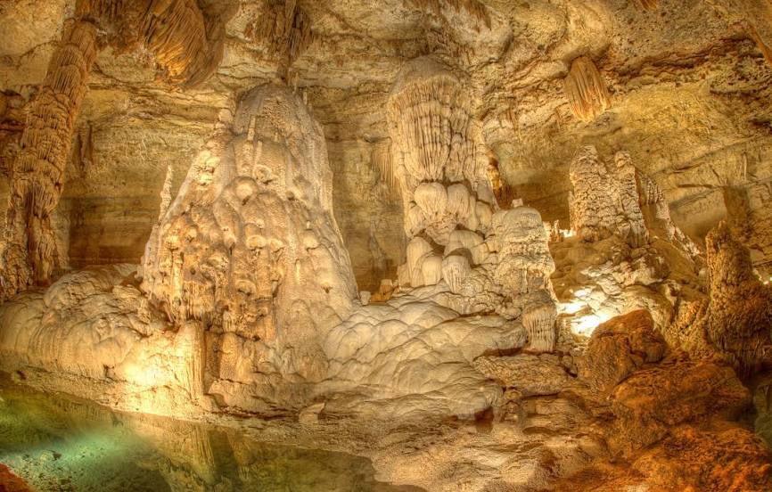
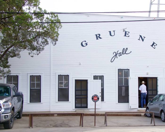
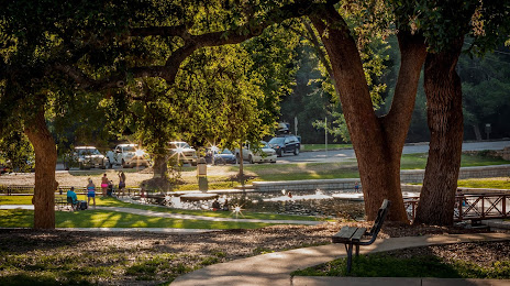
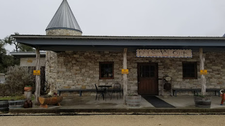
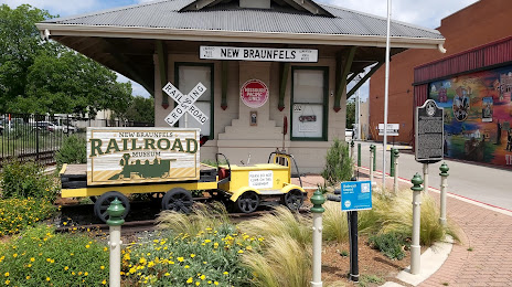
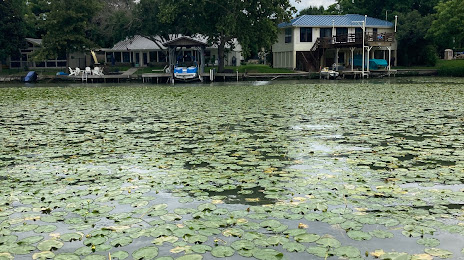
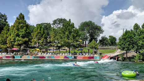
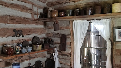
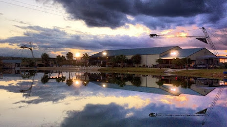
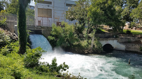
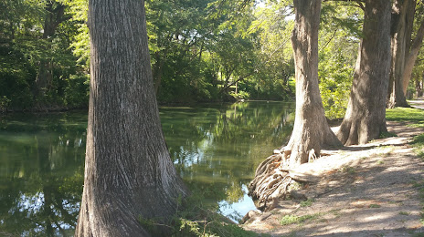
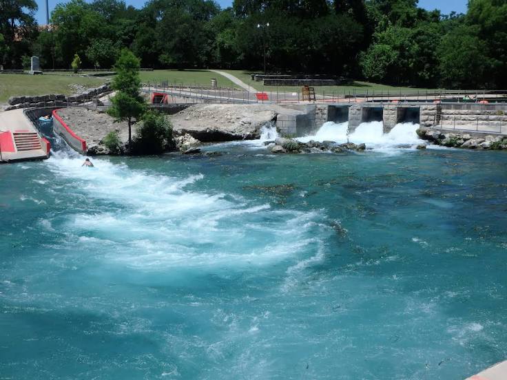
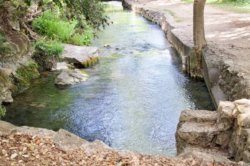
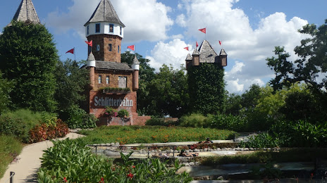
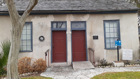
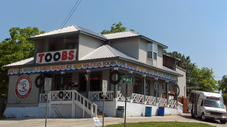
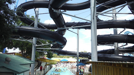
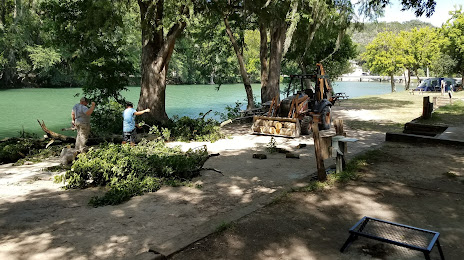
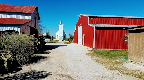
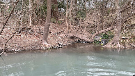
Attractions


Distance to the capital
Distance to the capital (Washington) is about — 2184 km.