 Woonsocket
Marksville
Natchez
Marquette
Willsboro
Watervliet
Queensbury
Amsterdam
Kerrville
Raritan
Woodbridge
Bridgewater
Fond du Lac
Edmonds
Cudahy
Rosharon
South Portland
Chanute
Chehalis
Woonsocket
Marksville
Natchez
Marquette
Willsboro
Watervliet
Queensbury
Amsterdam
Kerrville
Raritan
Woodbridge
Bridgewater
Fond du Lac
Edmonds
Cudahy
Rosharon
South Portland
Chanute
Chehalis
Watsonville on the map, United States
Where is located Watsonville
Exact location — Watsonville, Santa Cruz County, California, United States, marked on the map with a red marker.
Coordinates
Watsonville, United States coordinates in decimal format: latitude — 36.910231, longitude — -121.7568946. When converted to degrees, minutes, seconds Watsonville has the following coordinates: 36°54′36.83 north latitude and -121°45′24.82 east longitude.
Population
Watsonville, Santa Cruz County, California, United States, according to our data the population is — 45,724 residents, which is about 0% of the total population of the country (United States).
Comparison of the population on the graph:
Exact time
Time zone for this location Watsonville — UTC -7 America/Los_Angeles. Exact time — tuesday, 4 april 2024 year, 18 h. 56 minutes.
Sunrise and sunset
Watsonville, sunrise and sunset data for a date — tuesday 23.04.2024.
| Sunrise | Sunset | Day (duration) |
|---|---|---|
| 06:24 -1 minute | 19:46 +1 minute | 13 h. 24 minutes. +2 minutes |
You can control the scale of the map using the auxiliary tools to find out exactly where it is located Watsonville. When you change the scale of the map, the width of the ruler also changes (in kilometers and miles).
Nearby cities
The largest cities that are located nearby:
- Salinas — 27 km
- San Jose — 49 km
- Santa Clara — 52 km
- Sunnyvale — 56 km
- Fremont — 73 km
- Hayward — 89 km
- Modesto — 105 km
- Oakland — 109 km
- San Francisco — 112 km
- Berkeley — 115 km
- Concord — 120 km
- Richmond — 123 km
- Stockton — 123 km
- Vallejo — 139 km
- Fairfield — 150 km
- Fresno — 177 km
- Sacramento — 186 km
- Santa Rosa — 188 km
- Roseville — 208 km
Distance to neighboring capitals:
- Mexico City
 (Mexico) — 2935 km
 - Belmopan
 (Belize) — 3899 km
 - Ottawa
 (Canada) — 3915 km
 - Guatemala City
 (Guatemala) — 3959 km
 - Nuuk
 (Greenland) — 5420 km
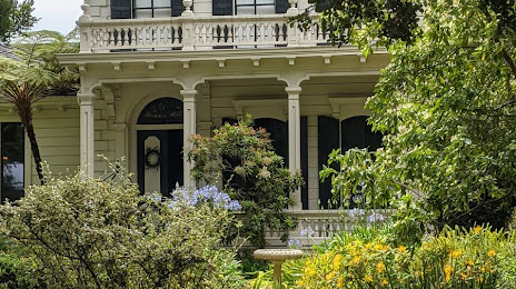
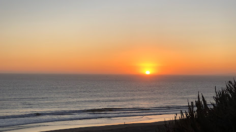
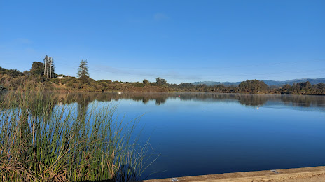
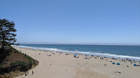
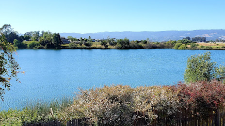
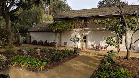
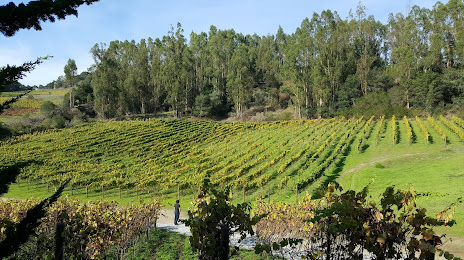
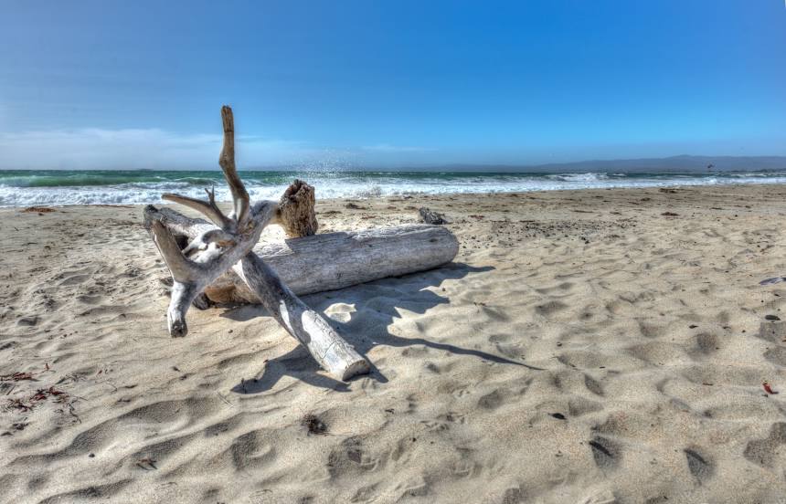
Attractions


Distance to the capital
Distance to the capital (Washington) is about — 3891 km.