 Watervliet
Queensbury
Amsterdam
Kerrville
Carson
La Palma
Blandon
Gardena
Los Alamitos
Glen Gardner
Sand Springs
Keyport
Apopka
Warren
Raritan
Woodbridge
Bridgewater
Fond du Lac
Edmonds
Watervliet
Queensbury
Amsterdam
Kerrville
Carson
La Palma
Blandon
Gardena
Los Alamitos
Glen Gardner
Sand Springs
Keyport
Apopka
Warren
Raritan
Woodbridge
Bridgewater
Fond du Lac
Edmonds
Poughkeepsie on the map, United States
Where is located Poughkeepsie
Exact location — Poughkeepsie, Dutchess County, New York, United States, marked on the map with a red marker.
Coordinates
Poughkeepsie, United States coordinates in decimal format: latitude — 41.7003713, longitude — -73.9209701. When converted to degrees, minutes, seconds Poughkeepsie has the following coordinates: 41°42′1.34 north latitude and -73°55′15.49 east longitude.
Population
Poughkeepsie, Dutchess County, New York, United States, according to our data the population is — 30,345 residents, which is about 0% of the total population of the country (United States).
Comparison of the population on the graph:
Exact time
Time zone for this location Poughkeepsie — UTC -4 America/New_York. Exact time — thursday, 4 april 2024 year, 15 h. 44 minutes.
Sunrise and sunset
Poughkeepsie, sunrise and sunset data for a date — thursday 25.04.2024.
| Sunrise | Sunset | Day (duration) |
|---|---|---|
| 06:02 -2 minutes | 19:44 +1 minute | 13 h. 42 minutes. +3 minutes |
You can control the scale of the map using the auxiliary tools to find out exactly where it is located Poughkeepsie. When you change the scale of the map, the width of the ruler also changes (in kilometers and miles).
Nearby cities
The largest cities that are located nearby:
- Waterbury — 74 km
- Stamford — 78 km
- Bridgeport — 83 km
- Yonkers — 85 km
- Paterson — 89 km
- New Haven — 93 km
- Hartford — 102 km
- Newark — 109 km
- New York — 109 km
- Brooklyn — 111 km
- Elizabeth — 117 km
- Springfield — 118 km
- Amherst — 136 km
- Edison — 137 km
- Allentown — 179 km
- Worcester — 184 km
- Toms River — 195 km
- Providence — 207 km
- Philadelphia — 220 km
Distance to neighboring capitals:
- Ottawa
 (Canada) — 438 km
 - Nuuk
 (Greenland) — 2875 km
 - Belmopan
 (Belize) — 3065 km
 - Guatemala City
 (Guatemala) — 3411 km
 - Mexico City
 (Mexico) — 3433 km
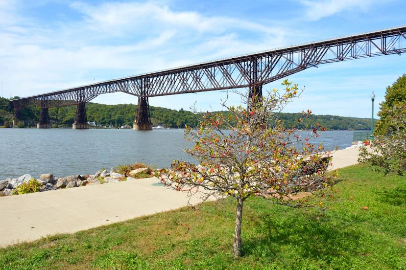
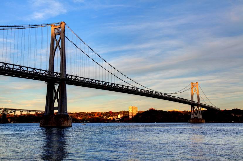
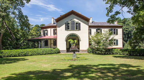
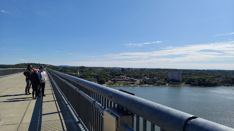
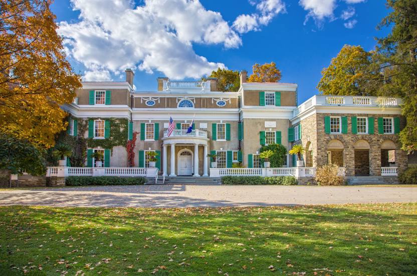
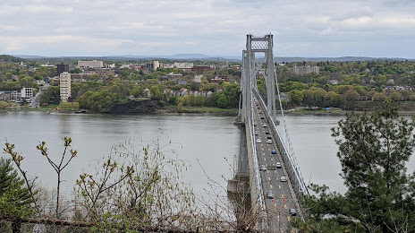
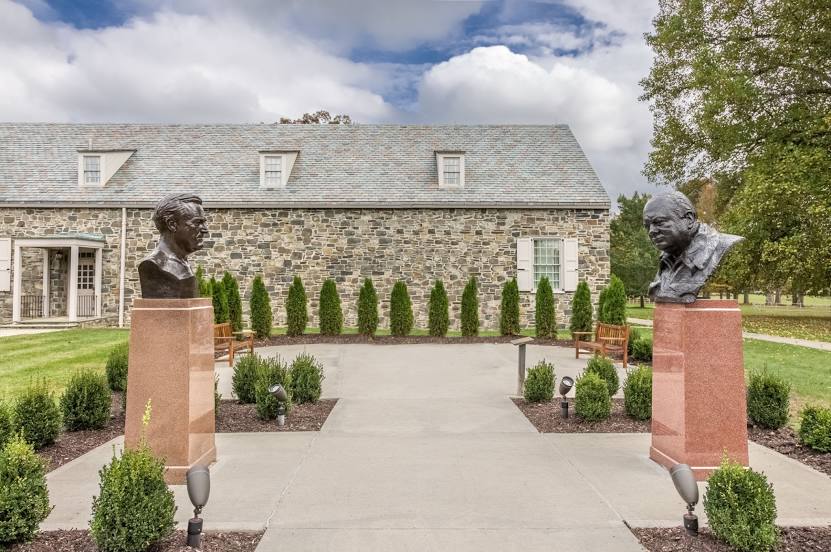
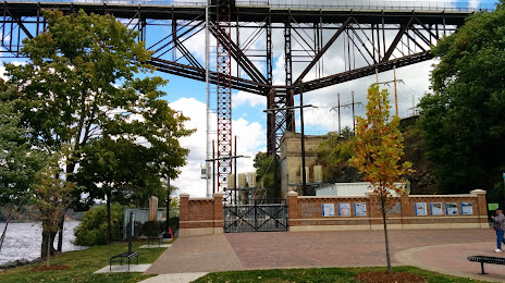
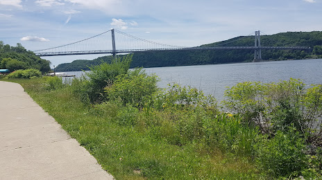
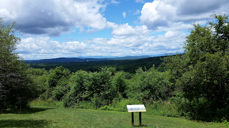
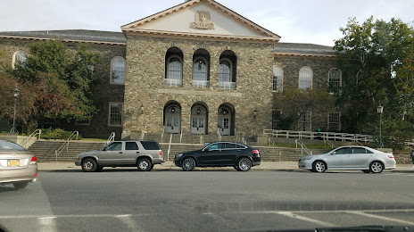
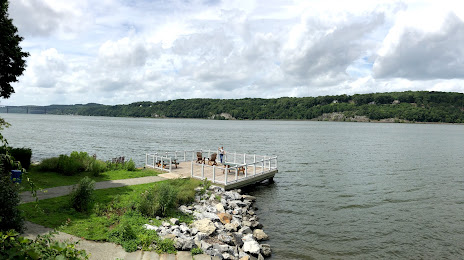
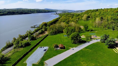
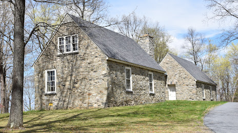
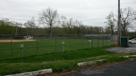
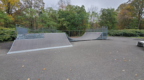
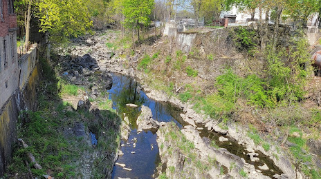
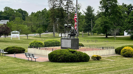
Attractions


Distance to the capital
Distance to the capital (Washington) is about — 408 km.