 Blandon
Gardena
Los Alamitos
Waller
Cullman
Norwalk
Redondo Beach
Orange
Iron River
Watsonville
New Braunfels
Sayreville
San Luis Obispo
North Brunswick Township
Phillipsburg
Glen Gardner
Sand Springs
Keyport
Apopka
Blandon
Gardena
Los Alamitos
Waller
Cullman
Norwalk
Redondo Beach
Orange
Iron River
Watsonville
New Braunfels
Sayreville
San Luis Obispo
North Brunswick Township
Phillipsburg
Glen Gardner
Sand Springs
Keyport
Apopka
Hoffman Estates on the map, United States
Where is located Hoffman Estates
Exact location — Hoffman Estates, Cook County, Illinois, United States, marked on the map with a red marker.
Coordinates
Hoffman Estates, United States coordinates in decimal format: latitude — 42.0629915, longitude — -88.1227199. When converted to degrees, minutes, seconds Hoffman Estates has the following coordinates: 42°3′46.77 north latitude and -88°7′21.79 east longitude.
Population
Hoffman Estates, Cook County, Illinois, United States, according to our data the population is — 50,541 residents, which is about 0% of the total population of the country (United States).
Comparison of the population on the graph:
Exact time
Time zone for this location Hoffman Estates — UTC -5 America/Chicago. Exact time — tuesday, 4 april 2024 year, 02 h. 16 minutes.
Sunrise and sunset
Hoffman Estates, sunrise and sunset data for a date — tuesday 23.04.2024.
| Sunrise | Sunset | Day (duration) |
|---|---|---|
| 06:01 -2 minutes | 19:39 +1 minute | 13 h. 36 minutes. +3 minutes |
You can control the scale of the map using the auxiliary tools to find out exactly where it is located Hoffman Estates. When you change the scale of the map, the width of the ruler also changes (in kilometers and miles).
Nearby cities
The largest cities that are located nearby:
- Naperville — 35 km
- Aurora — 37 km
- Chicago — 45 km
- Joliet — 60 km
- Rockford — 83 km
- Milwaukee — 109 km
- Madison — 152 km
- South Bend — 160 km
- Peoria — 195 km
- Grand Rapids — 222 km
- Fort Wayne — 271 km
- Green Bay — 272 km
- Lansing — 299 km
- Indianapolis — 304 km
- Ann Arbor — 359 km
- Flint — 374 km
- Toledo — 380 km
- Detroit — 416 km
- Windsor
 (Canada) — 417 km
Distance to neighboring capitals:
- Ottawa (Canada) — 1065 km
- Mexico City
 (Mexico) — 2723 km
 - Belmopan
 (Belize) — 2760 km
 - Guatemala City
 (Guatemala) — 3062 km
 - Nuuk
 (Greenland) — 3370 km
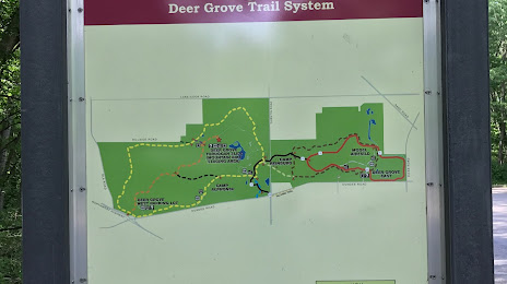
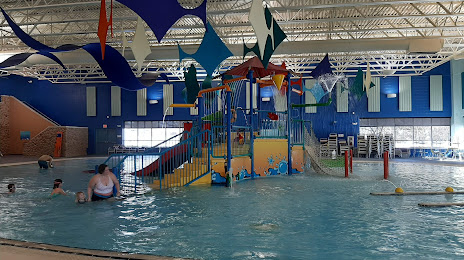
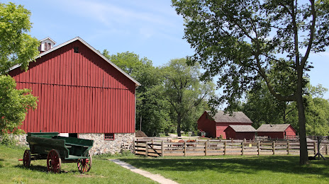
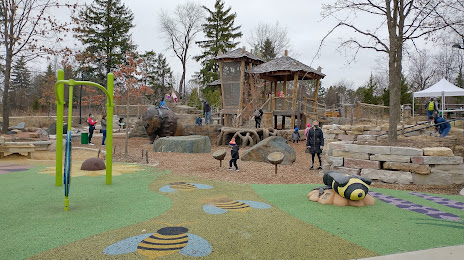
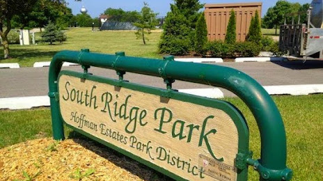
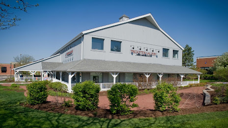
Attractions

Distance to the capital
Distance to the capital (Washington) is about — 1000 km.