 Burnham
Appleton
Menomonee Falls
Kewaskum
New Berlin
Oshkosh
Pleasant Prairie
Kilgore
Green Bay
Newman's Airport-4n0
Falmouth
Glastonbury
Lake Geneva
Poughkeepsie
Newport News
Albany
South Amboy
Thibodaux
Watsonville
Burnham
Appleton
Menomonee Falls
Kewaskum
New Berlin
Oshkosh
Pleasant Prairie
Kilgore
Green Bay
Newman's Airport-4n0
Falmouth
Glastonbury
Lake Geneva
Poughkeepsie
Newport News
Albany
South Amboy
Thibodaux
Watsonville
Kerrville on the map, United States
Where is located Kerrville
Exact location — Kerrville, Kerr County, Texas, United States, marked on the map with a red marker.
Coordinates
Kerrville, United States coordinates in decimal format: latitude — 30.0474332, longitude — -99.1403189. When converted to degrees, minutes, seconds Kerrville has the following coordinates: 30°2′50.76 north latitude and -99°8′25.15 east longitude.
Population
Kerrville, Kerr County, Texas, United States, according to our data the population is — 21,894 residents, which is about 0% of the total population of the country (United States).
Comparison of the population on the graph:
Exact time
Time zone for this location Kerrville — UTC -5 America/Chicago. Exact time — tuesday, 4 april 2024 year, 02 h. 49 minutes.
Sunrise and sunset
Kerrville, sunrise and sunset data for a date — tuesday 16.04.2024.
| Sunrise | Sunset | Day (duration) |
|---|---|---|
| 07:10 -1 minute | 20:02 +1 minute | 12 h. 54 minutes. +2 minutes |
You can control the scale of the map using the auxiliary tools to find out exactly where it is located Kerrville. When you change the scale of the map, the width of the ruler also changes (in kilometers and miles).
Nearby cities
The largest cities that are located nearby:
- San Antonio — 93 km
- Austin — 136 km
- Killeen — 179 km
- Ciudad Acuna
 (Mexico) — 192 km
 - Piedras Negras (Mexico) — 200 km
- Waco — 251 km
- Abilene — 271 km
- Laredo — 280 km
- Nuevo Laredo (Mexico) — 287 km
- Corpus Christi — 301 km
- Fort Worth — 343 km
- Arlington — 352 km
- Grand Prairie — 359 km
- Houston — 363 km
- Irving — 367 km
- Dallas — 372 km
- Mesquite — 382 km
- Carrollton — 385 km
- Richardson — 391 km
Distance to neighboring capitals:
- Mexico City (Mexico) — 1181 km
- Belmopan
 (Belize) — 1771 km
 - Guatemala City
 (Guatemala) — 1930 km
 - Ottawa
 (Canada) — 2661 km
 - Nuuk
 (Greenland) — 5016 km
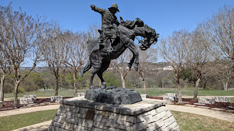
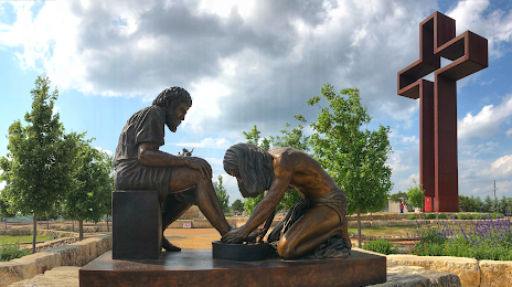
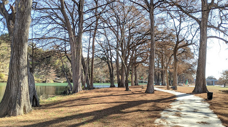
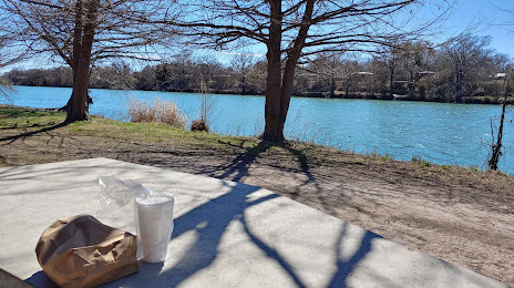
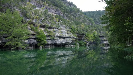
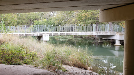
Attractions


Distance to the capital
Distance to the capital (Washington) is about — 2245 km.