 Sheboygan
Oconomowoc
West Bend
Manitowoc
Redgranite
Webster
Biloxi
Ironwood
Iron Mountain
Blandon
La Palma
Carson
Kerrville
Amsterdam
Queensbury
Watervliet
Willsboro
Marquette
Natchez
Sheboygan
Oconomowoc
West Bend
Manitowoc
Redgranite
Webster
Biloxi
Ironwood
Iron Mountain
Blandon
La Palma
Carson
Kerrville
Amsterdam
Queensbury
Watervliet
Willsboro
Marquette
Natchez
Menomonee Falls on the map, United States
Where is located Menomonee Falls
Exact location — Menomonee Falls, Waukesha County, Wisconsin, United States, marked on the map with a red marker.
Coordinates
Menomonee Falls, United States coordinates in decimal format: latitude — 43.1788967, longitude — -88.1173132. When converted to degrees, minutes, seconds Menomonee Falls has the following coordinates: 43°10′44.03 north latitude and -88°7′2.33 east longitude.
Population
Menomonee Falls, Waukesha County, Wisconsin, United States, according to our data the population is — 34,515 residents, which is about 0% of the total population of the country (United States).
Comparison of the population on the graph:
Exact time
Time zone for this location Menomonee Falls — UTC -5 America/Chicago. Exact time — tuesday, 4 april 2024 year, 11 h. 56 minutes.
Sunrise and sunset
Menomonee Falls, sunrise and sunset data for a date — tuesday 23.04.2024.
| Sunrise | Sunset | Day (duration) |
|---|---|---|
| 05:59 -2 minutes | 19:41 +1 minute | 13 h. 42 minutes. +3 minutes |
You can control the scale of the map using the auxiliary tools to find out exactly where it is located Menomonee Falls. When you change the scale of the map, the width of the ruler also changes (in kilometers and miles).
Nearby cities
The largest cities that are located nearby:
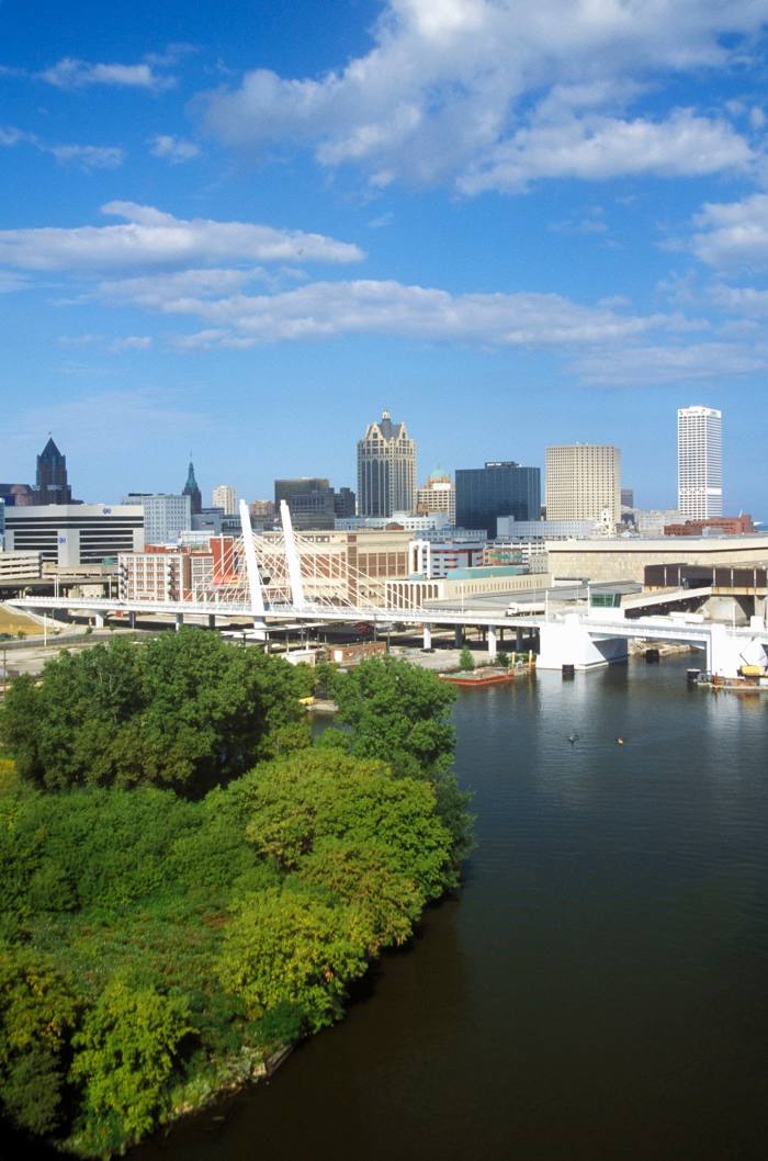
- Milwaukee — 23 km
- Madison — 104 km
- Rockford — 128 km
- Green Bay — 148 km
- Chicago — 149 km
- Aurora — 158 km
- Naperville — 158 km
- Joliet — 183 km
- Grand Rapids — 200 km
- South Bend — 227 km
- Lansing — 293 km
- Peoria — 301 km
- Fort Wayne — 340 km
- Flint — 359 km
- Ann Arbor — 371 km
- Indianapolis — 412 km
- Toledo — 412 km
- Sterling Heights — 419 km
- Warren — 422 km
Distance to neighboring capitals:
- Ottawa
 (Canada) — 1019 km
 - Mexico City
 (Mexico) — 2835 km
 - Belmopan
 (Belize) — 2884 km
 - Guatemala City
 (Guatemala) — 3186 km
 - Nuuk
 (Greenland) — 3264 km
Attractions
Distance to the capital
Distance to the capital (Washington) is about — 1043 km.