 East Troy
Medina
Lockport
Wellsville
Corry
Irvine
Warren
Belvidere
Grand Island
Villa Park
Green Bay
Kilgore
Pleasant Prairie
Oshkosh
New Berlin
Kewaskum
Menomonee Falls
Appleton
Burnham
East Troy
Medina
Lockport
Wellsville
Corry
Irvine
Warren
Belvidere
Grand Island
Villa Park
Green Bay
Kilgore
Pleasant Prairie
Oshkosh
New Berlin
Kewaskum
Menomonee Falls
Appleton
Burnham
Biloxi on the map, United States
Where is located Biloxi
Exact location — Biloxi, Harrison County, Mississippi, United States, marked on the map with a red marker.
Coordinates
Biloxi, United States coordinates in decimal format: latitude — 30.3960318, longitude — -88.8853078. When converted to degrees, minutes, seconds Biloxi has the following coordinates: 30°23′45.71 north latitude and -88°53′7.11 east longitude.
Population
Biloxi, Harrison County, Mississippi, United States, according to our data the population is — 47,661 residents, which is about 0% of the total population of the country (United States).
Comparison of the population on the graph:
Exact time
Time zone for this location Biloxi — UTC -5 America/Chicago. Exact time — thursday, 4 april 2024 year, 03 h. 30 minutes.
Sunrise and sunset
Biloxi, sunrise and sunset data for a date — thursday 25.04.2024.
| Sunrise | Sunset | Day (duration) |
|---|---|---|
| 06:19 -1 minute | 19:27 +1 minute | 13 h. 6 minutes. +2 minutes |
You can control the scale of the map using the auxiliary tools to find out exactly where it is located Biloxi. When you change the scale of the map, the width of the ruler also changes (in kilometers and miles).
Nearby cities
The largest cities that are located nearby:
- Mobile — 87 km
- New Orleans — 124 km
- Metairie — 130 km
- Baton Rouge — 215 km
- Jackson — 243 km
- Lafayette — 300 km
- Montgomery — 325 km
- Birmingham — 395 km
- Tallahassee — 439 km
- Beaumont — 503 km
- Shreveport — 511 km
- Huntsville — 523 km
- Memphis — 536 km
- Atlanta — 555 km
- Little Rock — 572 km
- Chattanooga — 607 km
- Houston — 626 km
- Gainesville — 636 km
- Clearwater — 652 km
Distance to neighboring capitals:
- Belmopan
 (Belize) — 1462 km
 - Mexico City
 (Mexico) — 1597 km
 - Guatemala City
 (Guatemala) — 1764 km
 - Ottawa
 (Canada) — 2027 km
 - Nuuk
 (Greenland) — 4558 km
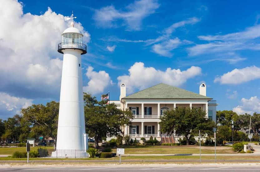
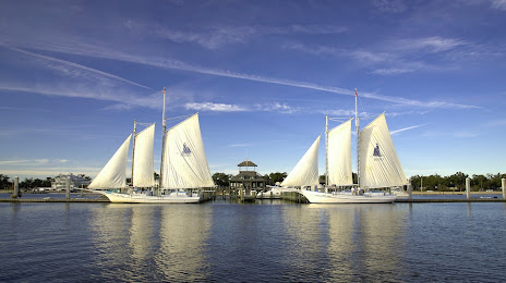
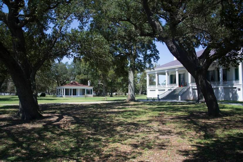
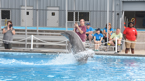
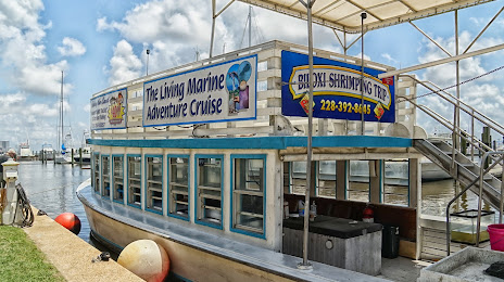
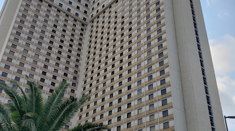
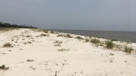
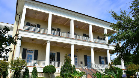
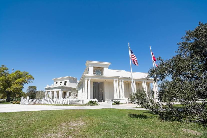
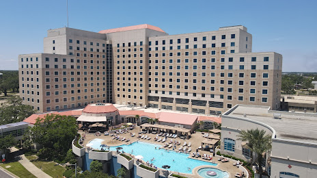
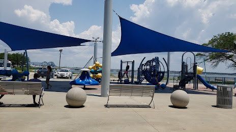
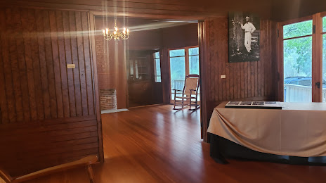
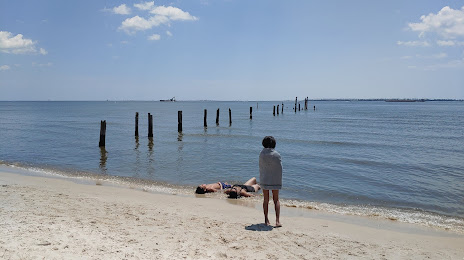
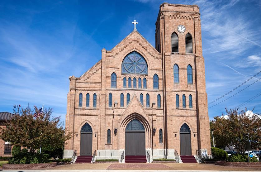
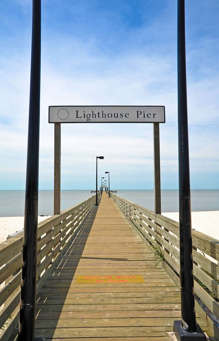
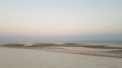
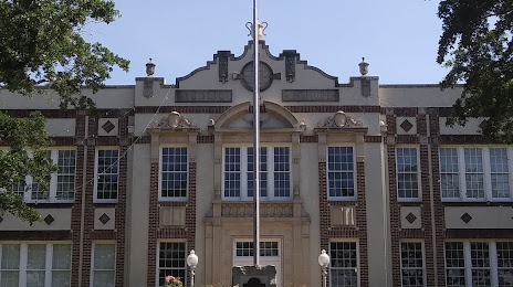
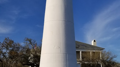
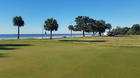
Attractions


Distance to the capital
Distance to the capital (Washington) is about — 1437 km.