 Berkeley Springs
Miramar Beach
Greenbelt
Bluefield
Whitsett
Clemmons
Duffield
Itmann
Fincastle
Grand Island
Belvidere
Warren
Irvine
Corry
Wellsville
Lockport
Medina
East Troy
Sussex Airport
Berkeley Springs
Miramar Beach
Greenbelt
Bluefield
Whitsett
Clemmons
Duffield
Itmann
Fincastle
Grand Island
Belvidere
Warren
Irvine
Corry
Wellsville
Lockport
Medina
East Troy
Sussex Airport
Covina on the map, United States
Where is located Covina
Exact location — Covina, Los Angeles County, California, United States, marked on the map with a red marker.
Coordinates
Covina, United States coordinates in decimal format: latitude — 34.0900091, longitude — -117.8903397. When converted to degrees, minutes, seconds Covina has the following coordinates: 34°5′24.03 north latitude and -117°53′25.22 east longitude.
Population
Covina, Los Angeles County, California, United States, according to our data the population is — 48,688 residents, which is about 0% of the total population of the country (United States).
Comparison of the population on the graph:
Exact time
Time zone for this location Covina — UTC -7 America/Los_Angeles. Exact time — tuesday, 4 april 2024 year, 23 h. 39 minutes.
Sunrise and sunset
Covina, sunrise and sunset data for a date — tuesday 16.04.2024.
| Sunrise | Sunset | Day (duration) |
|---|---|---|
| 06:20 -2 minutes | 19:21 +1 minute | 13 h. 0 minutes. +3 minutes |
You can control the scale of the map using the auxiliary tools to find out exactly where it is located Covina. When you change the scale of the map, the width of the ruler also changes (in kilometers and miles).
Nearby cities
The largest cities that are located nearby:
- West Covina — 5 km
- El Monte — 13 km
- Pomona — 13 km
- Ontario — 22 km
- Pasadena — 24 km
- Fullerton — 24 km
- East Los Angeles — 26 km
- Norwalk — 27 km
- Rancho Cucamonga — 27 km
- Downey — 28 km
- Anaheim — 28 km
- Los Angeles — 33 km
- Orange — 34 km
- Glendale — 34 km
- Garden Grove — 35 km
- Corona — 38 km
- Santa Ana — 38 km
- Burbank — 40 km
- Fontana — 42 km
Distance to neighboring capitals:
- Mexico City
 (Mexico) — 2467 km
 - Belmopan
 (Belize) — 3448 km
 - Guatemala City
 (Guatemala) — 3497 km
 - Ottawa
 (Canada) — 3772 km
 - Nuuk
 (Greenland) — 5498 km
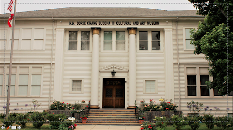
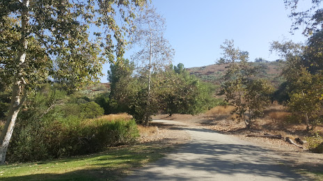
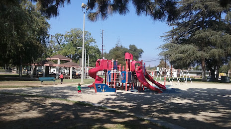
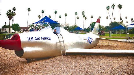
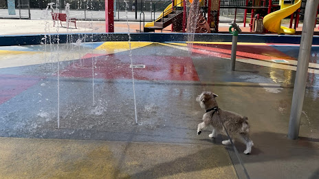
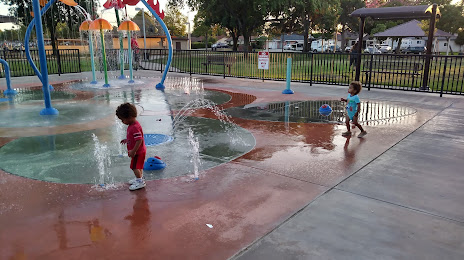
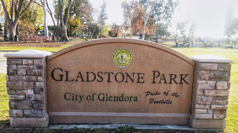
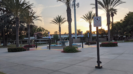
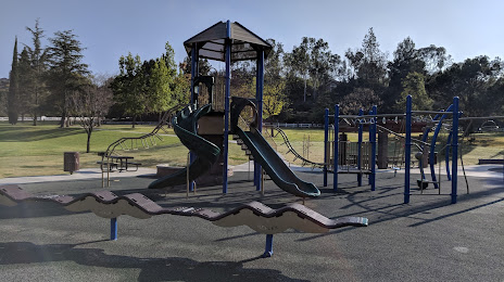
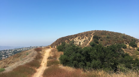
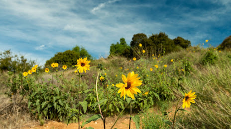
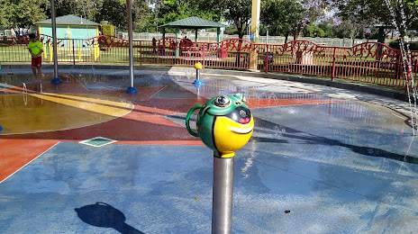
Attractions

Distance to the capital
Distance to the capital (Washington) is about — 3661 km.