 Shawnee
Fowler Airport
Stuart
Colfax
Canyon County
Wilmington
Bradley
Roanoke Rapids
Henderson
Princeton
Kernersville
Fenwick
Harlingen
Burlington
Advance
Asheboro
Coeburn
Salem
Lithopolis
Shawnee
Fowler Airport
Stuart
Colfax
Canyon County
Wilmington
Bradley
Roanoke Rapids
Henderson
Princeton
Kernersville
Fenwick
Harlingen
Burlington
Advance
Asheboro
Coeburn
Salem
Lithopolis
Wichita Falls on the map, United States
Where is located Wichita Falls
Exact location — Wichita Falls, Wichita County, Texas, United States, marked on the map with a red marker.
Coordinates
Wichita Falls, United States coordinates in decimal format: latitude — 33.9137085, longitude — -98.4933873. When converted to degrees, minutes, seconds Wichita Falls has the following coordinates: 33°54′49.35 north latitude and -98°29′36.19 east longitude.
Population
Wichita Falls, Wichita County, Texas, United States, according to our data the population is — 101,212 residents, which is about 0% of the total population of the country (United States).
Comparison of the population on the graph:
Exact time
Time zone for this location Wichita Falls — UTC -5 America/Chicago. Exact time — thursday, 4 april 2024 year, 21 h. 24 minutes.
Sunrise and sunset
Wichita Falls, sunrise and sunset data for a date — thursday 18.04.2024.
| Sunrise | Sunset | Day (duration) |
|---|---|---|
| 07:01 -1 minute | 20:05 +1 minute | 13 h. 6 minutes. +2 minutes |
You can control the scale of the map using the auxiliary tools to find out exactly where it is located Wichita Falls. When you change the scale of the map, the width of the ruler also changes (in kilometers and miles).
Nearby cities
The largest cities that are located nearby:
- Denton — 148 km
- Fort Worth — 168 km
- Norman — 173 km
- Frisco — 176 km
- Carrollton — 181 km
- Arlington — 183 km
- Irving — 188 km
- Grand Prairie — 190 km
- Oklahoma City — 193 km
- Plano — 194 km
- Richardson — 195 km
- Abilene — 199 km
- Dallas — 202 km
- Garland — 205 km
- Mesquite — 217 km
- Waco — 291 km
- Lubbock — 312 km
- Killeen — 318 km
- Tulsa — 333 km
Distance to neighboring capitals:
- Mexico City
 (Mexico) — 1612 km
 - Belmopan
 (Belize) — 2092 km
 - Guatemala City
 (Guatemala) — 2291 km
 - Ottawa
 (Canada) — 2321 km
 - Nuuk
 (Greenland) — 4607 km
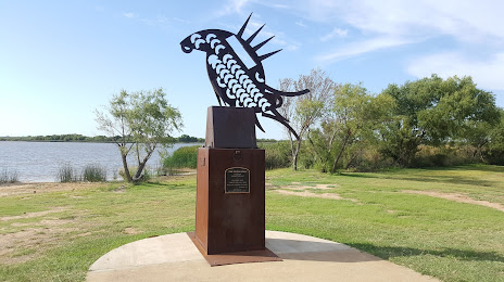
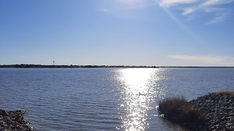
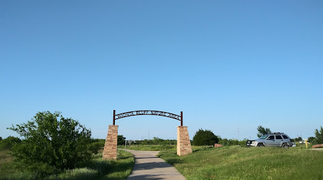
Attractions


Distance to the capital
Distance to the capital (Washington) is about — 1994 km.