 Arcadia
Redding
Davis
Incline Village
Brooks
Zephyr Cove
Arbuckle
Genoa
Weaverville
Henderson
Roanoke Rapids
Bradley
Wilmington
Canyon County
Colfax
Stuart
Fowler Airport
Shawnee
Porterville
Arcadia
Redding
Davis
Incline Village
Brooks
Zephyr Cove
Arbuckle
Genoa
Weaverville
Henderson
Roanoke Rapids
Bradley
Wilmington
Canyon County
Colfax
Stuart
Fowler Airport
Shawnee
Porterville
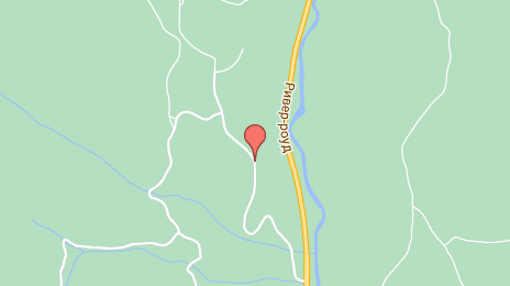
Truckee on the map, United States
Where is located Truckee
Exact location — Truckee, Nevada County, California, United States, marked on the map with a red marker.
Coordinates
Truckee, United States coordinates in decimal format: latitude — 39.327962, longitude — -120.1832533. When converted to degrees, minutes, seconds Truckee has the following coordinates: 39°19′40.66 north latitude and -120°10′59.71 east longitude.
Population
Truckee, Nevada County, California, United States, according to our data the population is — 15,771 residents, which is about 0% of the total population of the country (United States).
Comparison of the population on the graph:
Exact time
Time zone for this location Truckee — UTC -7 America/Los_Angeles. Exact time — friday, 4 april 2024 year, 16 h. 42 minutes.
Sunrise and sunset
Truckee, sunrise and sunset data for a date — friday 19.04.2024.
| Sunrise | Sunset | Day (duration) |
|---|---|---|
| 06:19 -2 minutes | 19:39 +1 minute | 13 h. 18 minutes. +3 minutes |
You can control the scale of the map using the auxiliary tools to find out exactly where it is located Truckee. When you change the scale of the map, the width of the ruler also changes (in kilometers and miles).
Nearby cities
The largest cities that are located nearby:
- Reno — 39 km
- Roseville — 115 km
- Sacramento — 140 km
- Stockton — 180 km
- Modesto — 200 km
- Fairfield — 201 km
- Concord — 220 km
- Vallejo — 226 km
- Santa Rosa — 240 km
- Berkeley — 243 km
- Richmond — 246 km
- Hayward — 247 km
- Oakland — 248 km
- Fremont — 253 km
- San Francisco — 260 km
- San Jose — 266 km
- Santa Clara — 268 km
- Sunnyvale — 271 km
- Fresno — 288 km
Distance to neighboring capitals:
- Mexico City
 (Mexico) — 2994 km
 - Ottawa
 (Canada) — 3669 km
 - Belmopan
 (Belize) — 3901 km
 - Guatemala City
 (Guatemala) — 3989 km
 - Nuuk
 (Greenland) — 5120 km
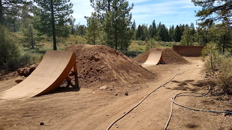
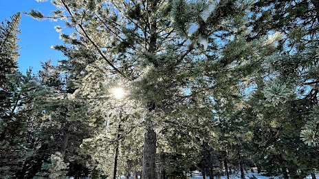
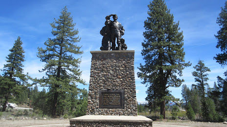
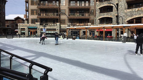
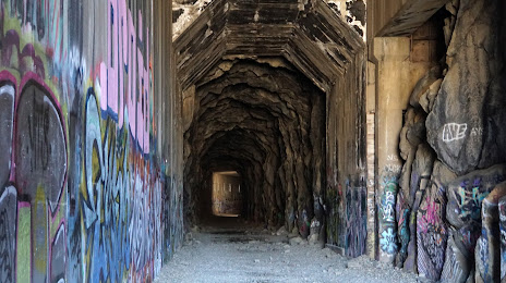
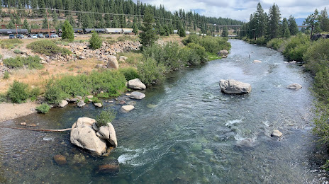
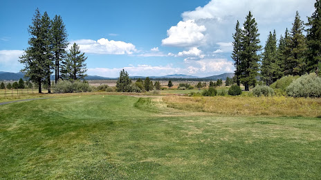
Attractions


Distance to the capital
Distance to the capital (Washington) is about — 3687 km.