 Swansea
Lexington
Moncks Corner
Stateline
Pageland
Awendaw
Grovetown
New Port Richey
Graniteville
McAllen
Leland
Truckee
Shallotte
Apex
Boone
Smithfield
Siler City
Tracy
Roseville
Swansea
Lexington
Moncks Corner
Stateline
Pageland
Awendaw
Grovetown
New Port Richey
Graniteville
McAllen
Leland
Truckee
Shallotte
Apex
Boone
Smithfield
Siler City
Tracy
Roseville
Redding on the map, United States
Where is located Redding
Exact location — Redding, Shasta County, California, United States, marked on the map with a red marker.
Coordinates
Redding, United States coordinates in decimal format: latitude — 40.5865396, longitude — -122.3916754. When converted to degrees, minutes, seconds Redding has the following coordinates: 40°35′11.54 north latitude and -122°23′30.03 east longitude.
Population
Redding, Shasta County, California, United States, according to our data the population is — 91,685 residents, which is about 0% of the total population of the country (United States).
Comparison of the population on the graph:
Exact time
Time zone for this location Redding — UTC -7 America/Los_Angeles. Exact time — wednesday, 4 april 2024 year, 22 h. 31 minute.
Sunrise and sunset
Redding, sunrise and sunset data for a date — wednesday 17.04.2024.
| Sunrise | Sunset | Day (duration) |
|---|---|---|
| 06:29 -2 minutes | 19:48 +1 minute | 13 h. 18 minutes. +3 minutes |
You can control the scale of the map using the auxiliary tools to find out exactly where it is located Redding. When you change the scale of the map, the width of the ruler also changes (in kilometers and miles).
Nearby cities
The largest cities that are located nearby:
- Roseville — 224 km
- Sacramento — 235 km
- Santa Rosa — 239 km
- Reno — 249 km
- Fairfield — 260 km
- Vallejo — 275 km
- Concord — 290 km
- Richmond — 295 km
- Berkeley — 300 km
- Stockton — 306 km
- Oakland — 308 km
- San Francisco — 311 km
- Hayward — 324 km
- Fremont — 338 km
- Modesto — 348 km
- Sunnyvale — 357 km
- Santa Clara — 359 km
- San Jose — 362 km
- Eugene — 387 km
Distance to neighboring capitals:
- Mexico City
 (Mexico) — 3228 km
 - Ottawa
 (Canada) — 3782 km
 - Belmopan
 (Belize) — 4134 km
 - Guatemala City
 (Guatemala) — 4223 km
 - Nuuk
 (Greenland) — 5111 km
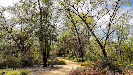
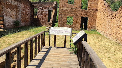
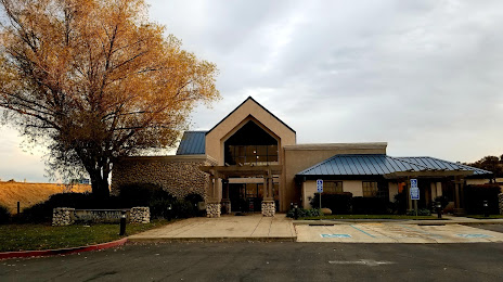
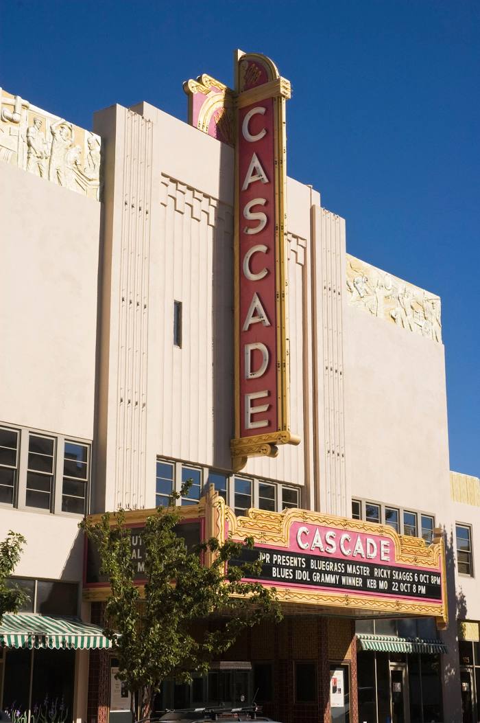
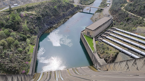
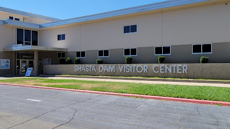
Attractions


Distance to the capital
Distance to the capital (Washington) is about — 3840 km.