 Brookside
La Porte
Hazleton
Purcellville
Olney
Hawk Point
Pottsville
Towanda
Pine Brook
Santa Cruz
Camas
Frenchtown
Pawleys Island
Wallkill
Farmingdale
Timmonsville
Anderson
Beaufort
Bristol
Brookside
La Porte
Hazleton
Purcellville
Olney
Hawk Point
Pottsville
Towanda
Pine Brook
Santa Cruz
Camas
Frenchtown
Pawleys Island
Wallkill
Farmingdale
Timmonsville
Anderson
Beaufort
Bristol
Scranton on the map, United States
Where is located Scranton
Exact location — Scranton, Lackawanna County, Pennsylvania, United States, marked on the map with a red marker.
Coordinates
Scranton, United States coordinates in decimal format: latitude — 41.408969, longitude — -75.6624122. When converted to degrees, minutes, seconds Scranton has the following coordinates: 41°24′32.29 north latitude and -75°39′44.68 east longitude.
Population
Scranton, Lackawanna County, Pennsylvania, United States, according to our data the population is — 73,206 residents, which is about 0% of the total population of the country (United States).
Comparison of the population on the graph:
Exact time
Time zone for this location Scranton — UTC -4 America/New_York. Exact time — tuesday, 4 april 2024 year, 12 h. 43 minutes.
Sunrise and sunset
Scranton, sunrise and sunset data for a date — tuesday 23.04.2024.
| Sunrise | Sunset | Day (duration) |
|---|---|---|
| 06:12 -2 minutes | 19:48 +1 minute | 13 h. 36 minutes. +3 minutes |
You can control the scale of the map using the auxiliary tools to find out exactly where it is located Scranton. When you change the scale of the map, the width of the ruler also changes (in kilometers and miles).
Nearby cities
The largest cities that are located nearby:
- Allentown — 90 km
- Paterson — 136 km
- Edison — 144 km
- Newark — 145 km
- Elizabeth — 147 km
- Yonkers — 157 km
- New York — 159 km
- Brooklyn — 161 km
- Philadelphia — 166 km
- Stamford — 181 km
- Syracuse — 185 km
- Toms River — 203 km
- Bridgeport — 207 km
- Waterbury — 217 km
- New Haven — 227 km
- Baltimore — 248 km
- Hartford — 249 km
- Rochester — 249 km
- Springfield — 263 km
Distance to neighboring capitals:
- Ottawa
 (Canada) — 446 km
 - Nuuk
 (Greenland) — 2960 km
 - Belmopan
 (Belize) — 2964 km
 - Mexico City
 (Mexico) — 3301 km
 - Guatemala City
 (Guatemala) — 3308 km
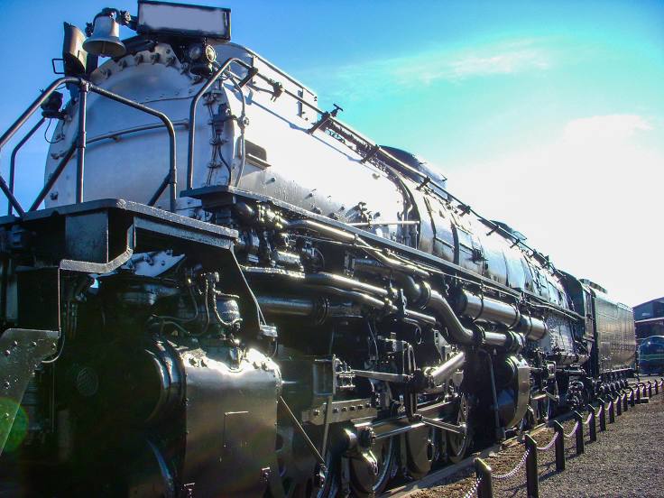
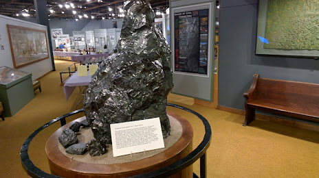
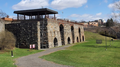
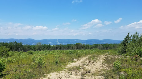
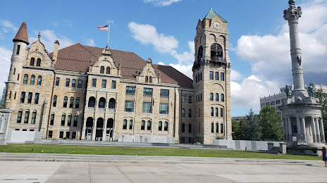
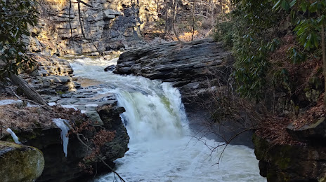
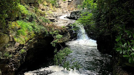
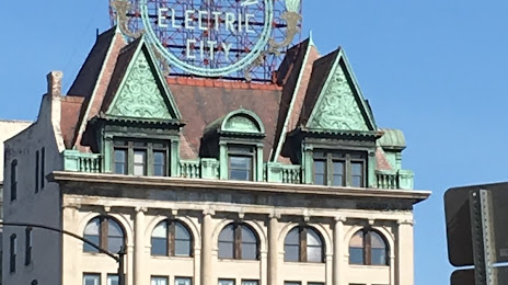
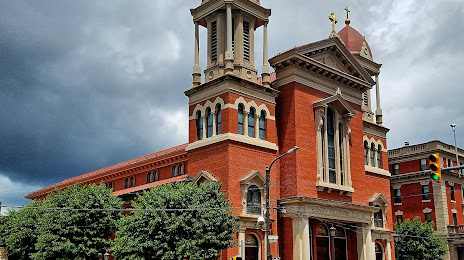
Attractions


Distance to the capital
Distance to the capital (Washington) is about — 302 km.