 DeForest
Azle
Cleburne
Ledyard
Hulbert
Okmulgee
Abernathy
Lamesa
Perry
Mankato
Wilkes-Barre
Denville
Scranton
Clarks Summit
White Haven
Moosic
Florham Park
Barrow
Ketchikan
DeForest
Azle
Cleburne
Ledyard
Hulbert
Okmulgee
Abernathy
Lamesa
Perry
Mankato
Wilkes-Barre
Denville
Scranton
Clarks Summit
White Haven
Moosic
Florham Park
Barrow
Ketchikan
Hazleton on the map, United States
Where is located Hazleton
Exact location — Hazleton, Luzerne County, Pennsylvania, United States, marked on the map with a red marker.
Coordinates
Hazleton, United States coordinates in decimal format: latitude — 40.9584181, longitude — -75.9746472. When converted to degrees, minutes, seconds Hazleton has the following coordinates: 40°57′30.31 north latitude and -75°58′28.73 east longitude.
Population
Hazleton, Luzerne County, Pennsylvania, United States, according to our data the population is — 21,961 residents, which is about 0% of the total population of the country (United States).
Comparison of the population on the graph:
Exact time
Time zone for this location Hazleton — UTC -4 America/New_York. Exact time — thursday, 4 april 2024 year, 11 h. 26 minutes.
Sunrise and sunset
Hazleton, sunrise and sunset data for a date — thursday 25.04.2024.
| Sunrise | Sunset | Day (duration) |
|---|---|---|
| 06:12 -1 minute | 19:51 +1 minute | 13 h. 42 minutes. +2 minutes |
You can control the scale of the map using the auxiliary tools to find out exactly where it is located Hazleton. When you change the scale of the map, the width of the ruler also changes (in kilometers and miles).
Nearby cities
The largest cities that are located nearby:
- Allentown — 56 km
- Philadelphia — 131 km
- Edison — 140 km
- Paterson — 151 km
- Elizabeth — 151 km
- Newark — 153 km
- New York — 167 km
- Brooklyn — 169 km
- Yonkers — 173 km
- Toms River — 187 km
- Baltimore — 192 km
- Stamford — 203 km
- Syracuse — 231 km
- Bridgeport — 233 km
- Waterbury — 251 km
- Alexandria — 255 km
- New Haven — 256 km
- Rochester — 277 km
- Hartford — 286 km
Distance to neighboring capitals:
- Ottawa
 (Canada) — 497 km
 - Belmopan
 (Belize) — 2908 km
 - Nuuk
 (Greenland) — 3017 km
 - Mexico City
 (Mexico) — 3249 km
 - Guatemala City
 (Guatemala) — 3251 km
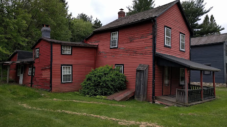
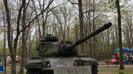
Attractions
Distance to the capital
Distance to the capital (Washington) is about — 245 km.