 Perry
Jones County
Carnegie
Uniontown
Frostburg
Ebensburg
Latrobe
Johnstown
Weirton
East Hartford
Richland
Abbeville
East Hanover
Peapack and Gladstone
Hamlin
Matawan
Williamsport
Mankato
Wilkes-Barre
Perry
Jones County
Carnegie
Uniontown
Frostburg
Ebensburg
Latrobe
Johnstown
Weirton
East Hartford
Richland
Abbeville
East Hanover
Peapack and Gladstone
Hamlin
Matawan
Williamsport
Mankato
Wilkes-Barre
Borger on the map, United States
Where is located Borger
Exact location — Borger, Hutchinson County, Texas, United States, marked on the map with a red marker.
Coordinates
Borger, United States coordinates in decimal format: latitude — 35.6678203, longitude — -101.3973876. When converted to degrees, minutes, seconds Borger has the following coordinates: 35°40′4.15 north latitude and -101°23′50.6 east longitude.
Population
Borger, Hutchinson County, Texas, United States, according to our data the population is — 13,408 residents, which is about 0% of the total population of the country (United States).
Comparison of the population on the graph:
Exact time
Time zone for this location Borger — UTC -5 America/Chicago. Exact time — friday, 4 april 2024 year, 10 h. 18 minutes.
Sunrise and sunset
Borger, sunrise and sunset data for a date — friday 19.04.2024.
| Sunrise | Sunset | Day (duration) |
|---|---|---|
| 07:09 -1 minute | 20:19 +1 minute | 13 h. 12 minutes. +2 minutes |
You can control the scale of the map using the auxiliary tools to find out exactly where it is located Borger. When you change the scale of the map, the width of the ruler also changes (in kilometers and miles).
Nearby cities
The largest cities that are located nearby:
- Amarillo — 63 km
- Lubbock — 235 km
- Wichita Falls — 330 km
- Oklahoma City — 350 km
- Norman — 361 km
- Abilene — 388 km
- Pueblo — 399 km
- Wichita — 420 km
- Colorado Springs — 458 km
- Albuquerque — 476 km
- Denton — 479 km
- Tulsa — 485 km
- Valencia — 491 km
- Fort Worth — 497 km
- Frisco — 507 km
- Carrollton — 513 km
- Arlington — 514 km
- Irving — 520 km
- Grand Prairie — 521 km
Distance to neighboring capitals:
- Mexico City
 (Mexico) — 1819 km
 - Belmopan
 (Belize) — 2398 km
 - Ottawa
 (Canada) — 2414 km
 - Guatemala City
 (Guatemala) — 2580 km
 - Nuuk
 (Greenland) — 4568 km
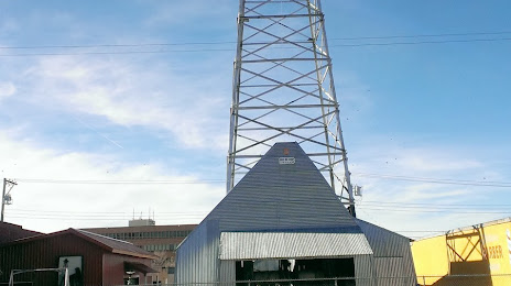
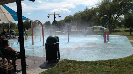
Attractions
Distance to the capital
Distance to the capital (Washington) is about — 2179 km.