 West Covina
Worcester
Lake Forest
Maysville
Garden City
Hereford
Marlow
Coffeyville
Healdton
Weirton
Johnstown
Latrobe
Ebensburg
Frostburg
Uniontown
Carnegie
Jones County
Perry
Lamesa
West Covina
Worcester
Lake Forest
Maysville
Garden City
Hereford
Marlow
Coffeyville
Healdton
Weirton
Johnstown
Latrobe
Ebensburg
Frostburg
Uniontown
Carnegie
Jones County
Perry
Lamesa
Titusville on the map, United States
Where is located Titusville
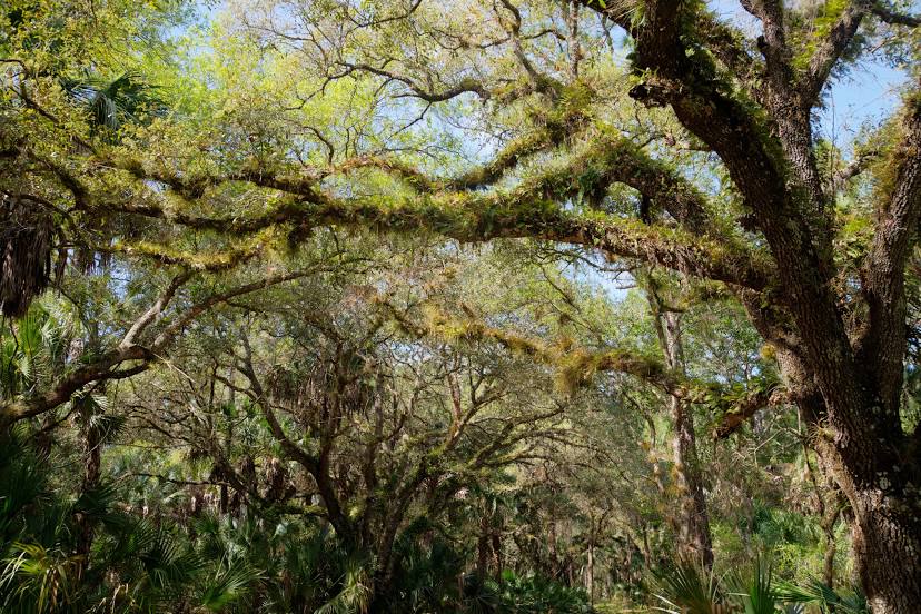
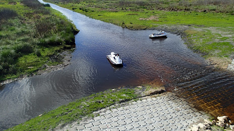
Exact location — Titusville, Brevard County, Florida, United States, marked on the map with a red marker.
Coordinates
Titusville, United States coordinates in decimal format: latitude — 28.6122187, longitude — -80.8075537. When converted to degrees, minutes, seconds Titusville has the following coordinates: 28°36′43.99 north latitude and -80°48′27.19 east longitude.
Population
Titusville, Brevard County, Florida, United States, according to our data the population is — 42,700 residents, which is about 0% of the total population of the country (United States).
Comparison of the population on the graph:
Exact time
Time zone for this location Titusville — UTC -4 America/New_York. Exact time — thursday, 4 april 2024 year, 19 h. 30 minutes.
Sunrise and sunset
Titusville, sunrise and sunset data for a date — thursday 25.04.2024.
| Sunrise | Sunset | Day (duration) |
|---|---|---|
| 06:49 -1 minute | 19:52 +1 minute | 13 h. 6 minutes. +2 minutes |
You can control the scale of the map using the auxiliary tools to find out exactly where it is located Titusville. When you change the scale of the map, the width of the ruler also changes (in kilometers and miles).
Nearby cities
The largest cities that are located nearby:
- Orlando — 56 km
- Port Saint Lucie — 155 km
- Brandon — 163 km
- Tampa — 177 km
- Gainesville — 186 km
- Saint Petersburg — 202 km
- Jacksonville — 207 km
- Clearwater — 207 km
- Cape Coral — 253 km
- Coral Springs — 264 km
- Fort Lauderdale — 283 km
- Pembroke Pines — 292 km
- Miramar — 295 km
- Hollywood — 295 km
- Hialeah — 309 km
- Miami — 321 km
- Savannah — 385 km
- Tallahassee — 388 km
- Charleston — 468 km
Distance to neighboring capitals:
- Belmopan
 (Belize) — 1503 km
 - Guatemala City
 (Guatemala) — 1852 km
 - Ottawa
 (Canada) — 1923 km
 - Mexico City
 (Mexico) — 2119 km
 - Nuuk
 (Greenland) — 4456 km
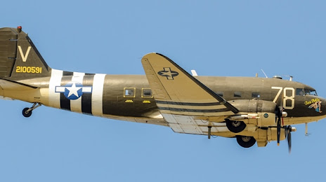
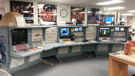
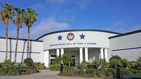
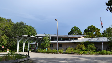
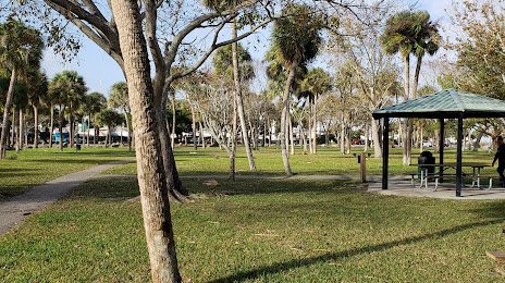
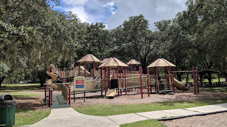
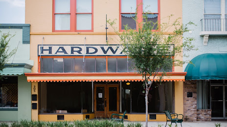
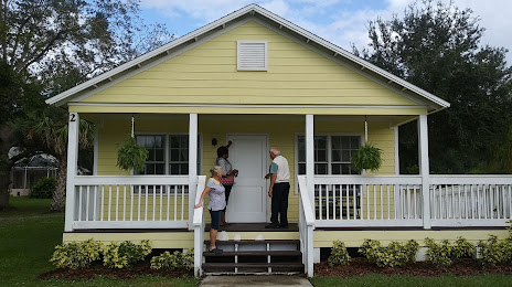
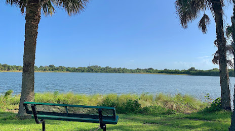
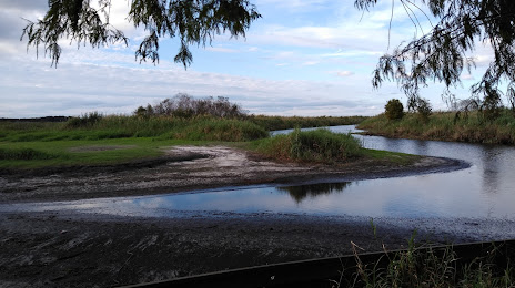
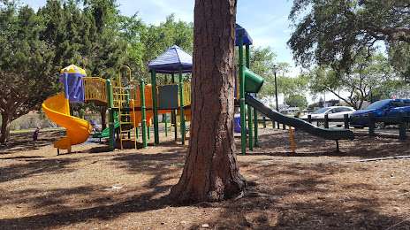
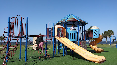
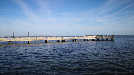
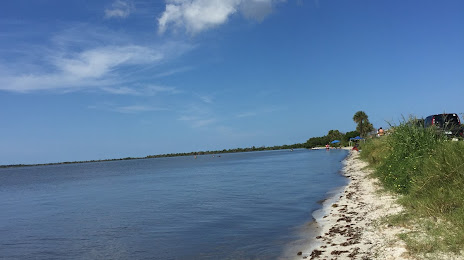
Attractions


Distance to the capital
Distance to the capital (Washington) is about — 1197 km.