 Marlow
Coffeyville
Healdton
Ratliff City
Tipton Airport
Ada Airport
Edmond
Brownwood
Carol Stream
New Canaan
Bedford
Grantsville
Ford City
McChesneytown-Loyalhanna
Portersville
Weirton
Johnstown
Latrobe
Ebensburg
Marlow
Coffeyville
Healdton
Ratliff City
Tipton Airport
Ada Airport
Edmond
Brownwood
Carol Stream
New Canaan
Bedford
Grantsville
Ford City
McChesneytown-Loyalhanna
Portersville
Weirton
Johnstown
Latrobe
Ebensburg
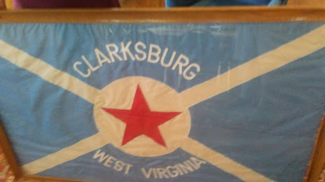
Clarksburg on the map, United States
Where is located Clarksburg
Exact location — Clarksburg, Harrison County, West Virginia, United States, marked on the map with a red marker.
Coordinates
Clarksburg, United States coordinates in decimal format: latitude — 39.2806451, longitude — -80.3445341. When converted to degrees, minutes, seconds Clarksburg has the following coordinates: 39°16′50.32 north latitude and -80°20′40.32 east longitude.
Population
Clarksburg, Harrison County, West Virginia, United States, according to our data the population is — 16,232 residents, which is about 0% of the total population of the country (United States).
Comparison of the population on the graph:
Exact time
Time zone for this location Clarksburg — UTC -4 America/New_York. Exact time — friday, 4 april 2024 year, 23 h. 02 minutes.
Sunrise and sunset
Clarksburg, sunrise and sunset data for a date — friday 19.04.2024.
| Sunrise | Sunset | Day (duration) |
|---|---|---|
| 06:40 -1 minute | 20:00 +1 minute | 13 h. 18 minutes. +2 minutes |
You can control the scale of the map using the auxiliary tools to find out exactly where it is located Clarksburg. When you change the scale of the map, the width of the ruler also changes (in kilometers and miles).
Nearby cities
The largest cities that are located nearby:
- Pittsburgh — 132 km
- Akron — 222 km
- Columbus — 237 km
- Aurora — 240 km
- Cleveland — 270 km
- Alexandria — 289 km
- Springfield — 302 km
- Baltimore — 319 km
- Richmond — 319 km
- Winston-Salem — 352 km
- Greensboro — 358 km
- Cincinnati — 358 km
- Toledo — 374 km
- Durham — 386 km
- Boston — 393 km
- Windsor
 (Canada) — 401 km
 - Detroit — 403 km
- Cary — 410 km
- Buffalo — 416 km
Distance to neighboring capitals:
- Ottawa (Canada) — 782 km
- Belmopan
 (Belize) — 2582 km
 - Mexico City
 (Mexico) — 2849 km
 - Guatemala City
 (Guatemala) — 2919 km
 - Nuuk
 (Greenland) — 3338 km
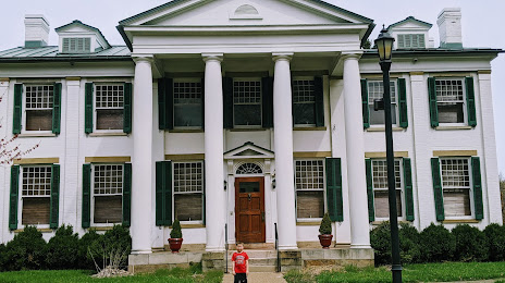
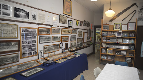
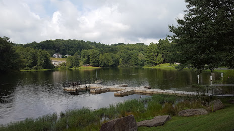
Attractions

Distance to the capital
Distance to the capital (Washington) is about — 289 km.