 Saint Peters
Osage Beach
Forsyth
Brighton Airport
Mexico
Linn
Saint Charles
Bennington
Longmont
Meadville
Petrolia
Clarksburg
Washington
Mars
Oil City
Irwin
Clairton
Titusville
Ames
Saint Peters
Osage Beach
Forsyth
Brighton Airport
Mexico
Linn
Saint Charles
Bennington
Longmont
Meadville
Petrolia
Clarksburg
Washington
Mars
Oil City
Irwin
Clairton
Titusville
Ames
Coffeyville on the map, United States
Where is located Coffeyville
Exact location — Coffeyville, Montgomery County, Kansas, United States, marked on the map with a red marker.
Coordinates
Coffeyville, United States coordinates in decimal format: latitude — 37.0373005, longitude — -95.6163665. When converted to degrees, minutes, seconds Coffeyville has the following coordinates: 37°2′14.28 north latitude and -95°36′58.92 east longitude.
Population
Coffeyville, Montgomery County, Kansas, United States, according to our data the population is — 10,150 residents, which is about 0% of the total population of the country (United States).
Comparison of the population on the graph:
Exact time
Time zone for this location Coffeyville — UTC -5 America/Chicago. Exact time — friday, 4 april 2024 year, 19 h. 09 minutes.
Sunrise and sunset
Coffeyville, sunrise and sunset data for a date — friday 19.04.2024.
| Sunrise | Sunset | Day (duration) |
|---|---|---|
| 06:44 -1 minute | 19:58 +1 minute | 13 h. 12 minutes. +2 minutes |
You can control the scale of the map using the auxiliary tools to find out exactly where it is located Coffeyville. When you change the scale of the map, the width of the ruler also changes (in kilometers and miles).
Nearby cities
The largest cities that are located nearby:
- Tulsa — 103 km
- Wichita — 167 km
- Springfield — 206 km
- Olathe — 215 km
- Topeka — 223 km
- Overland Park — 230 km
- Oklahoma City — 244 km
- Kansas City — 245 km
- Independence — 249 km
- North Kansas City — 249 km
- Norman — 260 km
- Little Rock — 394 km
- Lincoln — 428 km
- Wichita Falls — 435 km
- Frisco — 444 km
- Denton — 445 km
- Plano — 455 km
- Richardson — 464 km
- Carrollton — 464 km
Distance to neighboring capitals:
- Ottawa
 (Canada) — 1902 km
 - Mexico City
 (Mexico) — 1988 km
 - Belmopan
 (Belize) — 2301 km
 - Guatemala City
 (Guatemala) — 2544 km
 - Nuuk
 (Greenland) — 4176 km
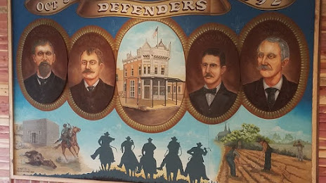
Attractions

Distance to the capital
Distance to the capital (Washington) is about — 1639 km.