 Bennington
Longmont
Nucla
Westborough
Wheat Ridge
Golden
Chester
Aspen
Avon
Maysville
Lake Forest
Worcester
West Covina
Newcomerstown
Linesville
West Middlesex
Meadville
Petrolia
Clarksburg
Bennington
Longmont
Nucla
Westborough
Wheat Ridge
Golden
Chester
Aspen
Avon
Maysville
Lake Forest
Worcester
West Covina
Newcomerstown
Linesville
West Middlesex
Meadville
Petrolia
Clarksburg
Carol Stream on the map, United States
Where is located Carol Stream
Exact location — Carol Stream, DuPage County, Illinois, United States, marked on the map with a red marker.
Coordinates
Carol Stream, United States coordinates in decimal format: latitude — 41.9125286, longitude — -88.1347927. When converted to degrees, minutes, seconds Carol Stream has the following coordinates: 41°54′45.1 north latitude and -88°8′5.25 east longitude.
Population
Carol Stream, DuPage County, Illinois, United States, according to our data the population is — 39,839 residents, which is about 0% of the total population of the country (United States).
Comparison of the population on the graph:
Exact time
Time zone for this location Carol Stream — UTC -5 America/Chicago. Exact time — saturday, 4 april 2024 year, 03 h. 00 minutes.
Sunrise and sunset
Carol Stream, sunrise and sunset data for a date — saturday 20.04.2024.
| Sunrise | Sunset | Day (duration) |
|---|---|---|
| 06:06 -1 minute | 19:36 +1 minute | 13 h. 30 minutes. +2 minutes |
You can control the scale of the map using the auxiliary tools to find out exactly where it is located Carol Stream. When you change the scale of the map, the width of the ruler also changes (in kilometers and miles).
Nearby cities
The largest cities that are located nearby:
- Naperville — 18 km
- Aurora — 23 km
- Chicago — 42 km
- Joliet — 43 km
- Rockford — 88 km
- Milwaukee — 126 km
- South Bend — 158 km
- Madison — 164 km
- Peoria — 182 km
- Grand Rapids — 231 km
- Fort Wayne — 266 km
- Green Bay — 288 km
- Indianapolis — 291 km
- Lansing — 304 km
- Ann Arbor — 362 km
- Toledo — 379 km
- Flint — 380 km
- Saint Louis — 405 km
- Detroit — 419 km
Distance to neighboring capitals:
- Ottawa
 (Canada) — 1073 km
 - Mexico City
 (Mexico) — 2707 km
 - Belmopan
 (Belize) — 2744 km
 - Guatemala City
 (Guatemala) — 3045 km
 - Nuuk
 (Greenland) — 3385 km
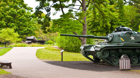
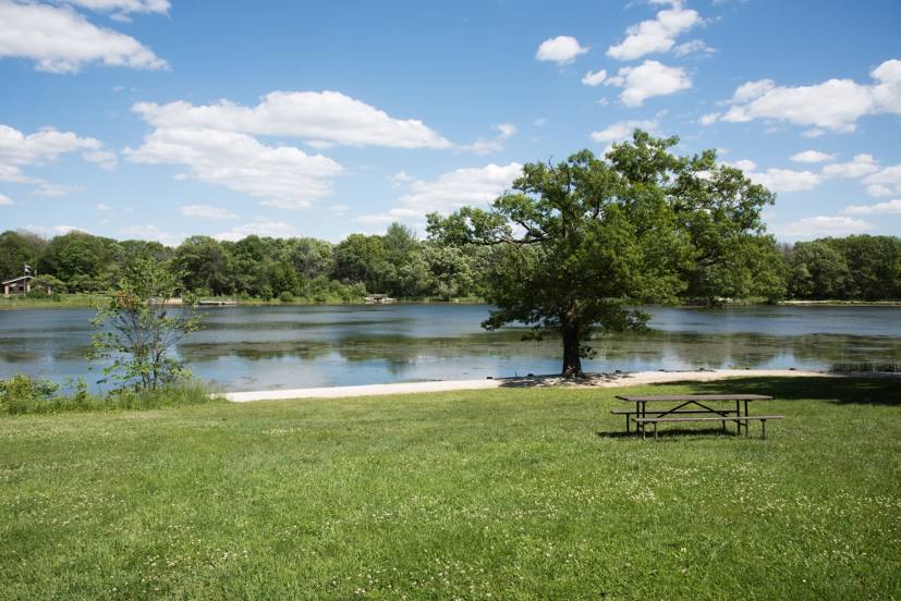
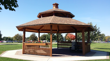
Attractions


Distance to the capital
Distance to the capital (Washington) is about — 997 km.