 Elk City
Zapata
Malakoff
Winnsboro
Bloomsburg
DeSoto
Moneta
Wilbraham
Macedonia
Osage Beach
Saint Peters
Breese
Alton
Hannibal
Wright City
Carol Stream
Brownwood
Edmond
Ada Airport
Elk City
Zapata
Malakoff
Winnsboro
Bloomsburg
DeSoto
Moneta
Wilbraham
Macedonia
Osage Beach
Saint Peters
Breese
Alton
Hannibal
Wright City
Carol Stream
Brownwood
Edmond
Ada Airport
Golden on the map, United States
Where is located Golden
Exact location — Golden, Jefferson County, Colorado, United States, marked on the map with a red marker.
Coordinates
Golden, United States coordinates in decimal format: latitude — 39.755543, longitude — -105.2210997. When converted to degrees, minutes, seconds Golden has the following coordinates: 39°45′19.95 north latitude and -105°13′15.96 east longitude.
Population
Golden, Jefferson County, Colorado, United States, according to our data the population is — 17,887 residents, which is about 0% of the total population of the country (United States).
Comparison of the population on the graph:
Exact time
Time zone for this location Golden — UTC -6 America/Denver. Exact time — friday, 4 april 2024 year, 04 h. 26 minutes.
Sunrise and sunset
Golden, sunrise and sunset data for a date — friday 19.04.2024.
| Sunrise | Sunset | Day (duration) |
|---|---|---|
| 06:19 -1 minute | 19:40 +1 minute | 13 h. 24 minutes. +2 minutes |
You can control the scale of the map using the auxiliary tools to find out exactly where it is located Golden. When you change the scale of the map, the width of the ruler also changes (in kilometers and miles).
Nearby cities
The largest cities that are located nearby:
- Arvada — 12 km
- Lakewood — 13 km
- Westminster — 18 km
- Denver — 20 km
- Thornton — 25 km
- Aurora — 33 km
- Fort Collins — 92 km
- Colorado Springs — 108 km
- Pueblo — 174 km
- Albuquerque — 531 km
- Provo — 546 km
- Valencia — 564 km
- Salt Lake City — 570 km
- West Jordan — 572 km
- West Valley City — 578 km
- Amarillo — 587 km
- Lincoln — 724 km
- Wichita — 727 km
- Lubbock — 750 km
Distance to neighboring capitals:
- Mexico City
 (Mexico) — 2334 km
 - Ottawa
 (Canada) — 2483 km
 - Belmopan
 (Belize) — 2964 km
 - Guatemala City
 (Guatemala) — 3141 km
 - Nuuk
 (Greenland) — 4360 km
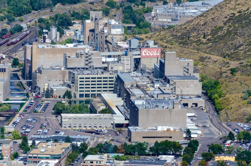
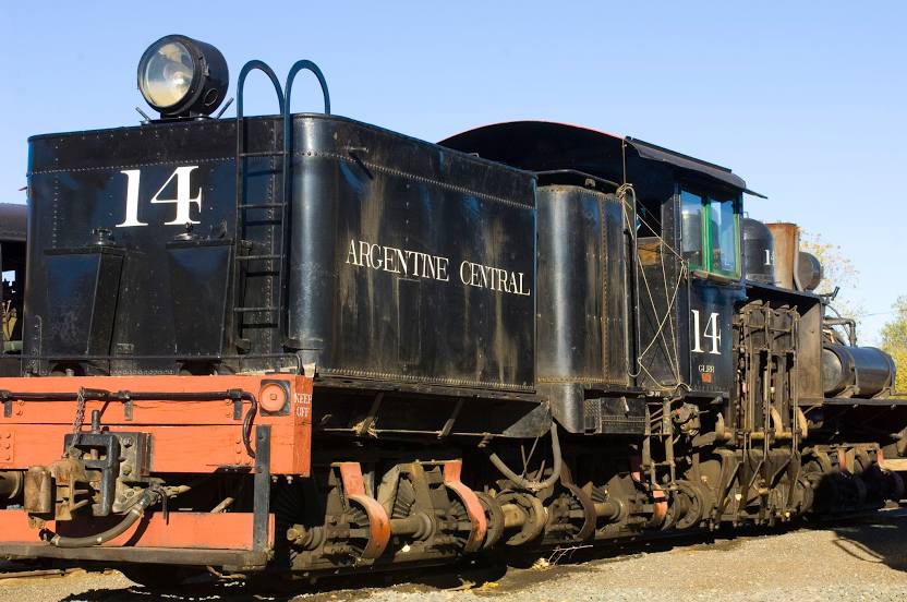
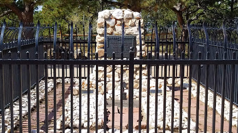
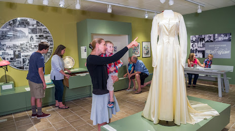
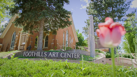
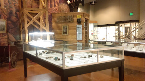
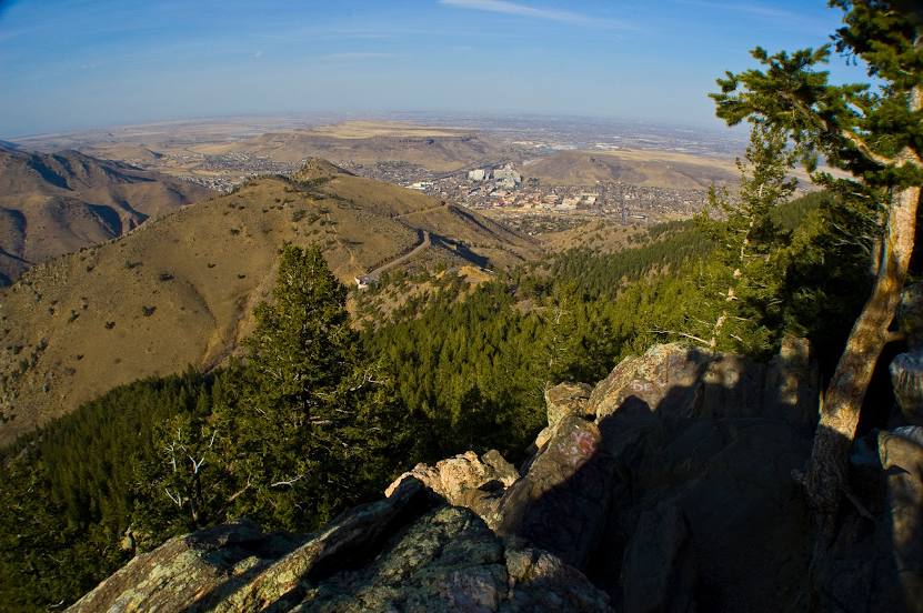
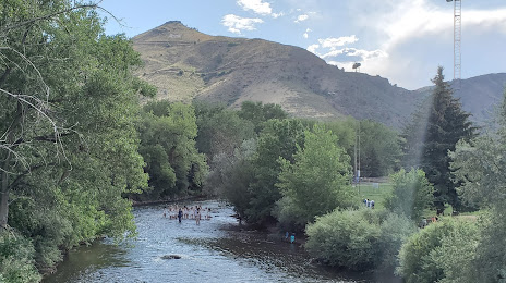
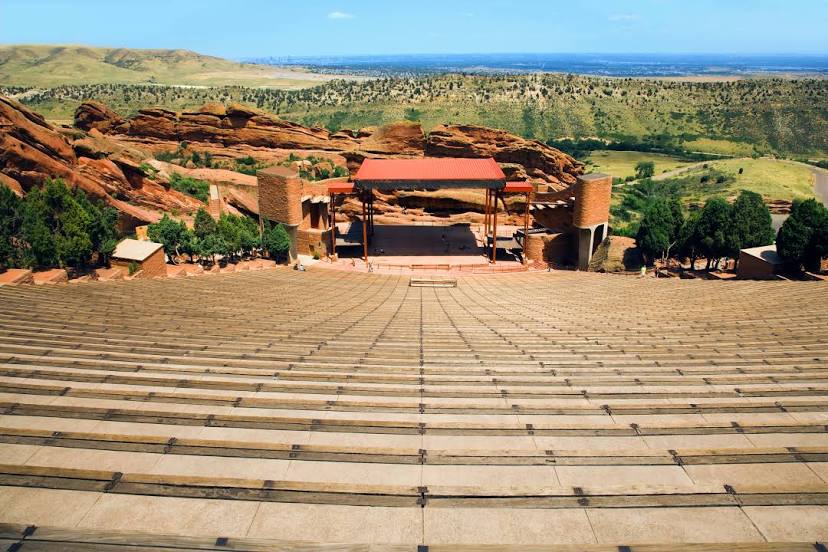
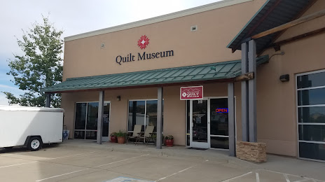
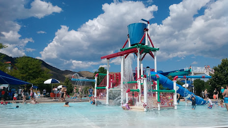
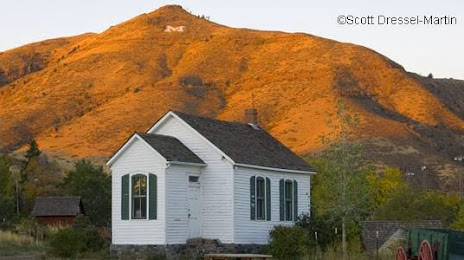
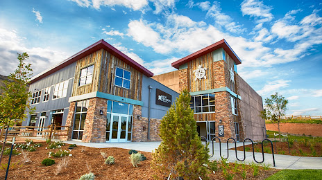
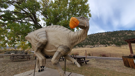
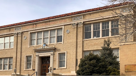
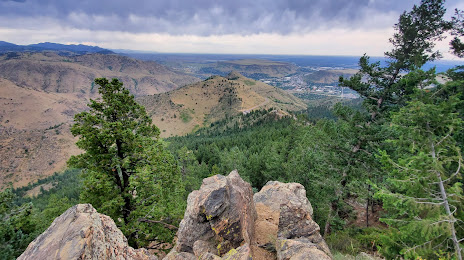
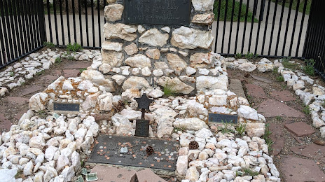
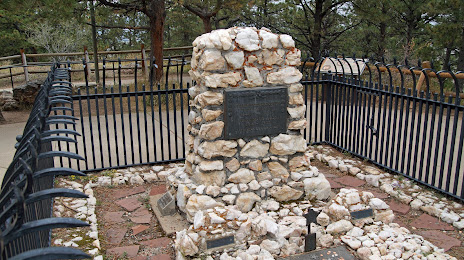
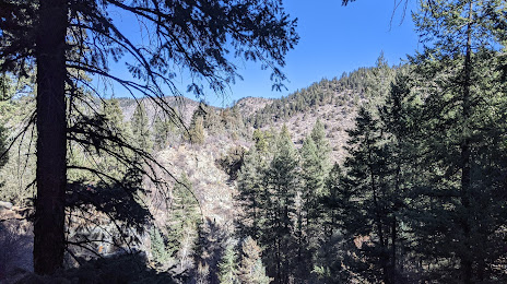
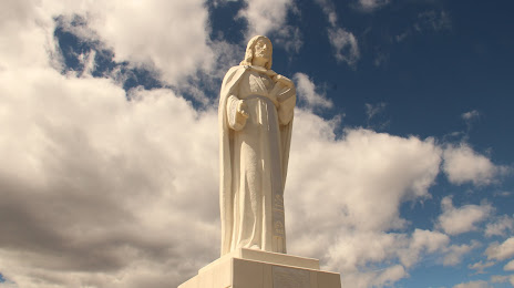
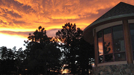
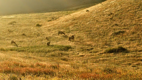
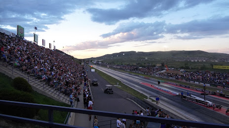
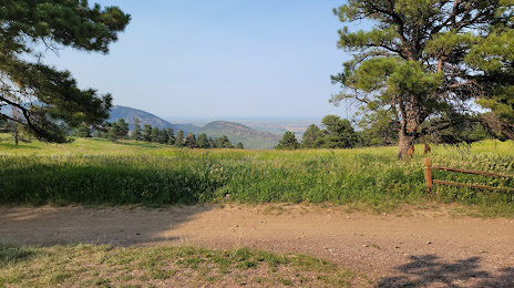
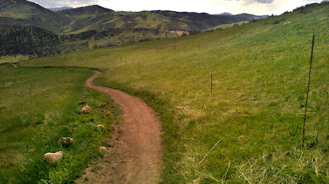
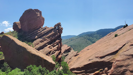
Attractions
Distance to the capital
Distance to the capital (Washington) is about — 2417 km.