 Solon
Fairfield
Canton
Lake Arrowhead
Paterson
Old Lyme
Sturgeon Bay
Deerfield
Brodhead
Wheat Ridge
Westborough
Nucla
Longmont
Bennington
Saint Charles
Linn
Mexico
Brighton Airport
Forsyth
Solon
Fairfield
Canton
Lake Arrowhead
Paterson
Old Lyme
Sturgeon Bay
Deerfield
Brodhead
Wheat Ridge
Westborough
Nucla
Longmont
Bennington
Saint Charles
Linn
Mexico
Brighton Airport
Forsyth
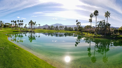
Indio on the map, United States
Where is located Indio
Exact location — Indio, Riverside County, California, United States, marked on the map with a red marker.
Coordinates
Indio, United States coordinates in decimal format: latitude — 33.7205771, longitude — -116.2155619. When converted to degrees, minutes, seconds Indio has the following coordinates: 33°43′14.08 north latitude and -116°12′56.02 east longitude.
Population
Indio, Riverside County, California, United States, according to our data the population is — 65,955 residents, which is about 0% of the total population of the country (United States).
Comparison of the population on the graph:
Exact time
Time zone for this location Indio — UTC -7 America/Los_Angeles. Exact time — tuesday, 4 april 2024 year, 11 h. 59 minutes.
Sunrise and sunset
Indio, sunrise and sunset data for a date — tuesday 16.04.2024.
| Sunrise | Sunset | Day (duration) |
|---|---|---|
| 06:14 -1 minute | 19:14 +1 minute | 13 h. 0 minutes. +2 minutes |
You can control the scale of the map using the auxiliary tools to find out exactly where it is located Indio. When you change the scale of the map, the width of the ruler also changes (in kilometers and miles).
Nearby cities
The largest cities that are located nearby:
- Moreno Valley — 96 km
- Escondido — 104 km
- San Bernardino — 107 km
- Riverside — 111 km
- Rialto — 114 km
- Fontana — 119 km
- Oceanside — 122 km
- Corona — 125 km
- Rancho Cucamonga — 133 km
- Ontario — 137 km
- Mexicali
 (Mexico) — 141 km
 - San Diego — 142 km
- Chula Vista — 144 km
- Irvine — 145 km
- Pomona — 145 km
- Orange — 151 km
- Santa Ana — 152 km
- Tijuana (Mexico) — 154 km
- Anaheim — 157 km
Distance to neighboring capitals:
- Mexico City (Mexico) — 2320 km
- Belmopan
 (Belize) — 3292 km
 - Guatemala City
 (Guatemala) — 3345 km
 - Ottawa
 (Canada) — 3664 km
 - Nuuk
 (Greenland) — 5452 km
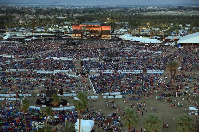
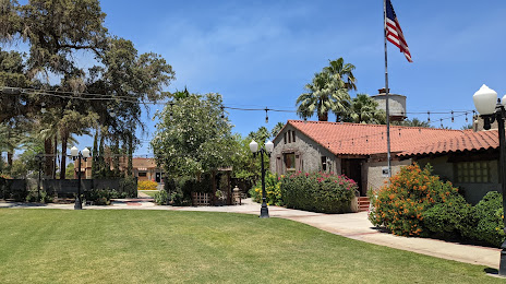
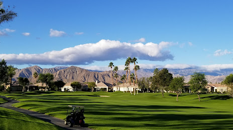
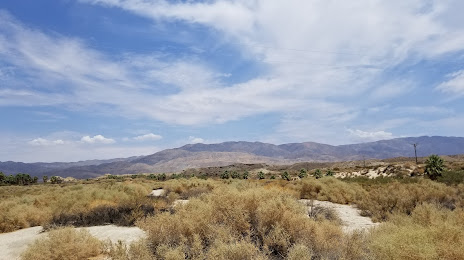
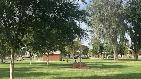
Attractions


Distance to the capital
Distance to the capital (Washington) is about — 3531 km.