 Tomah
Middleton
Wisconsin Rapids
La Crosse
Freeport
Mosinee
Platteville
Marshfield
Sun Prairie
Simsbury
North Branford
Tinley Park
Cheshire
Windham
Avon
Aspen
Chester
Golden
Wheat Ridge
Tomah
Middleton
Wisconsin Rapids
La Crosse
Freeport
Mosinee
Platteville
Marshfield
Sun Prairie
Simsbury
North Branford
Tinley Park
Cheshire
Windham
Avon
Aspen
Chester
Golden
Wheat Ridge
Wilbraham on the map, United States
Where is located Wilbraham
Exact location — Wilbraham, Hampden County, Massachusetts, United States, marked on the map with a red marker.
Coordinates
Wilbraham, United States coordinates in decimal format: latitude — 42.1237206, longitude — -72.431586. When converted to degrees, minutes, seconds Wilbraham has the following coordinates: 42°7′25.39 north latitude and -72°25′53.71 east longitude.
Population
Wilbraham, Hampden County, Massachusetts, United States, according to our data the population is — 20,883 residents, which is about 0% of the total population of the country (United States).
Comparison of the population on the graph:
Exact time
Time zone for this location Wilbraham — UTC -4 America/New_York. Exact time — tuesday, 4 april 2024 year, 03 h. 38 minutes.
Sunrise and sunset
Wilbraham, sunrise and sunset data for a date — tuesday 23.04.2024.
| Sunrise | Sunset | Day (duration) |
|---|---|---|
| 05:58 -2 minutes | 19:37 +2 minutes | 13 h. 42 minutes. +4 minutes |
You can control the scale of the map using the auxiliary tools to find out exactly where it is located Wilbraham. When you change the scale of the map, the width of the ruler also changes (in kilometers and miles).
Nearby cities
The largest cities that are located nearby:
- Springfield — 13 km
- Amherst — 25 km
- Hartford — 45 km
- Worcester — 54 km
- Waterbury — 81 km
- Providence — 90 km
- New Haven — 99 km
- Lowell — 107 km
- Cambridge — 111 km
- Boston — 115 km
- Bridgeport — 122 km
- Manchester — 125 km
- Stamford — 150 km
- Yonkers — 180 km
- Paterson — 197 km
- New York — 204 km
- Brooklyn — 205 km
- Newark — 212 km
- Elizabeth — 220 km
Distance to neighboring capitals:
- Ottawa
 (Canada) — 451 km
 - Nuuk
 (Greenland) — 2785 km
 - Belmopan
 (Belize) — 3172 km
 - Guatemala City
 (Guatemala) — 3519 km
 - Mexico City
 (Mexico) — 3560 km
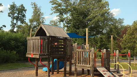
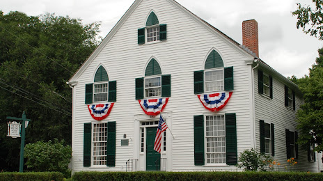
Attractions

Distance to the capital
Distance to the capital (Washington) is about — 529 km.