 Marshfield
Sun Prairie
Neillsville
Beloit
Lodi
Geyserville
Wausau
Rothschild
Stoughton
Winnsboro
Malakoff
Zapata
Elk City
Buford
Indio
Yucca Valley
Simsbury
North Branford
Tinley Park
Marshfield
Sun Prairie
Neillsville
Beloit
Lodi
Geyserville
Wausau
Rothschild
Stoughton
Winnsboro
Malakoff
Zapata
Elk City
Buford
Indio
Yucca Valley
Simsbury
North Branford
Tinley Park
Paterson on the map, United States
Where is located Paterson
Exact location — Paterson, Passaic County, New Jersey, United States, marked on the map with a red marker.
Coordinates
Paterson, United States coordinates in decimal format: latitude — 40.9167654, longitude — -74.171811. When converted to degrees, minutes, seconds Paterson has the following coordinates: 40°55′0.36 north latitude and -74°10′18.52 east longitude.
Population
Paterson, Passaic County, New Jersey, United States, according to our data the population is — 151,205 residents, which is about 0% of the total population of the country (United States).
Comparison of the population on the graph:
Exact time
Time zone for this location Paterson — UTC -4 America/New_York. Exact time — friday, 4 april 2024 year, 12 h. 35 minutes.
Sunrise and sunset
Paterson, sunrise and sunset data for a date — friday 19.04.2024.
| Sunrise | Sunset | Day (duration) |
|---|---|---|
| 06:13 -2 minutes | 19:37 +1 minute | 13 h. 24 minutes. +3 minutes |
You can control the scale of the map using the auxiliary tools to find out exactly where it is located Paterson. When you change the scale of the map, the width of the ruler also changes (in kilometers and miles).
Nearby cities
The largest cities that are located nearby:
- Newark — 20 km
- Yonkers — 23 km
- New York — 26 km
- Elizabeth — 28 km
- Brooklyn — 29 km
- Edison — 48 km
- Stamford — 55 km
- Bridgeport — 87 km
- Toms River — 106 km
- New Haven — 112 km
- Allentown — 116 km
- Waterbury — 117 km
- Philadelphia — 136 km
- Hartford — 154 km
- Springfield — 184 km
- Amherst — 209 km
- Worcester — 244 km
- Providence — 248 km
- Baltimore — 276 km
Distance to neighboring capitals:
- Ottawa
 (Canada) — 516 km
 - Nuuk
 (Greenland) — 2963 km
 - Belmopan
 (Belize) — 2980 km
 - Guatemala City
 (Guatemala) — 3326 km
 - Mexico City
 (Mexico) — 3363 km
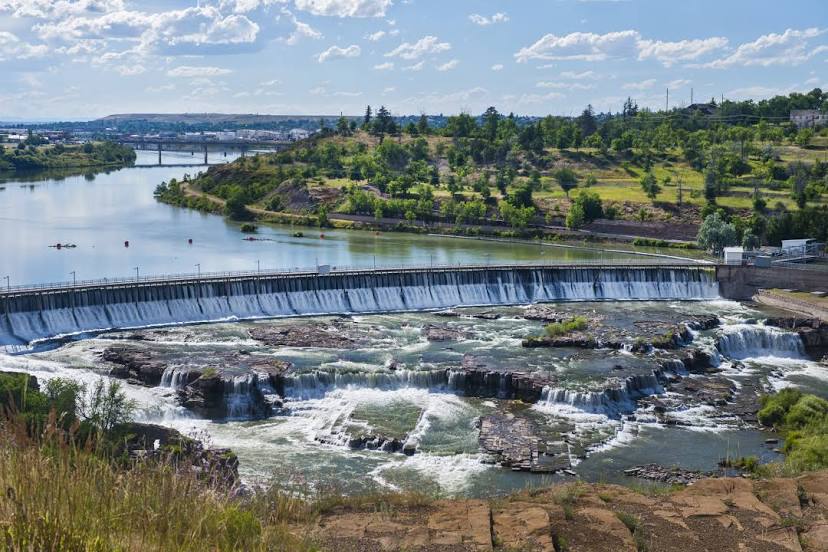
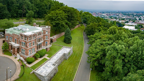
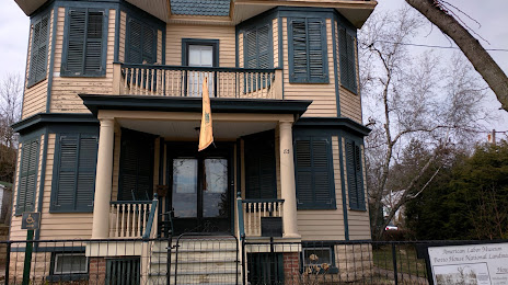
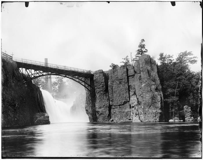
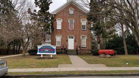
Attractions


Distance to the capital
Distance to the capital (Washington) is about — 331 km.