 Cass City
Rochester
Pontiac
New Baltimore
Alpine
Minden City
Bloomfield Hills
Pinole
Carrollton
Massillon
Merrill
Machesney Park
Baraboo
Stoughton
Rothschild
Wausau
Geyserville
Lodi
Beloit
Cass City
Rochester
Pontiac
New Baltimore
Alpine
Minden City
Bloomfield Hills
Pinole
Carrollton
Massillon
Merrill
Machesney Park
Baraboo
Stoughton
Rothschild
Wausau
Geyserville
Lodi
Beloit
Grass Valley on the map, United States
Where is located Grass Valley
Exact location — Grass Valley, Nevada County, California, United States, marked on the map with a red marker.
Coordinates
Grass Valley, United States coordinates in decimal format: latitude — 39.2190608, longitude — -121.0610606. When converted to degrees, minutes, seconds Grass Valley has the following coordinates: 39°13′8.62 north latitude and -121°3′39.82 east longitude.
Population
Grass Valley, Nevada County, California, United States, according to our data the population is — 12,297 residents, which is about 0% of the total population of the country (United States).
Comparison of the population on the graph:
Exact time
Time zone for this location Grass Valley — UTC -7 America/Los_Angeles. Exact time — wednesday, 4 april 2024 year, 13 h. 44 minutes.
Sunrise and sunset
Grass Valley, sunrise and sunset data for a date — wednesday 24.04.2024.
| Sunrise | Sunset | Day (duration) |
|---|---|---|
| 06:16 -1 minute | 19:47 +1 minute | 13 h. 30 minutes. +2 minutes |
You can control the scale of the map using the auxiliary tools to find out exactly where it is located Grass Valley. When you change the scale of the map, the width of the ruler also changes (in kilometers and miles).
Nearby cities
The largest cities that are located nearby:
- Roseville — 55 km
- Sacramento — 80 km
- Reno — 112 km
- Fairfield — 137 km
- Stockton — 141 km
- Concord — 161 km
- Vallejo — 161 km
- Santa Rosa — 167 km
- Modesto — 175 km
- Berkeley — 183 km
- Richmond — 183 km
- Oakland — 189 km
- Hayward — 193 km
- San Francisco — 199 km
- Fremont — 202 km
- San Jose — 220 km
- Santa Clara — 221 km
- Sunnyvale — 222 km
- Salinas — 286 km
Distance to neighboring capitals:
- Mexico City
 (Mexico) — 3044 km
 - Ottawa
 (Canada) — 3743 km
 - Belmopan
 (Belize) — 3961 km
 - Guatemala City
 (Guatemala) — 4044 km
 - Nuuk
 (Greenland) — 5172 km
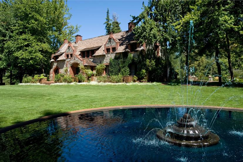
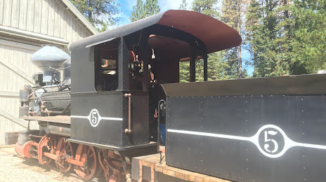
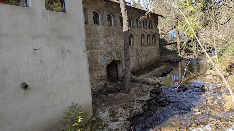
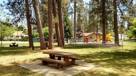
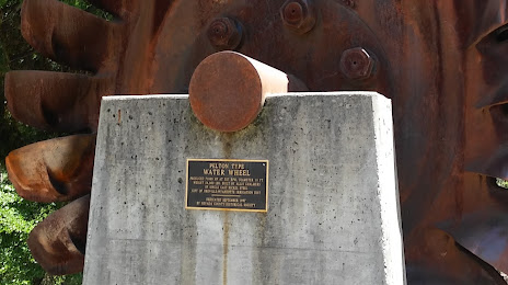
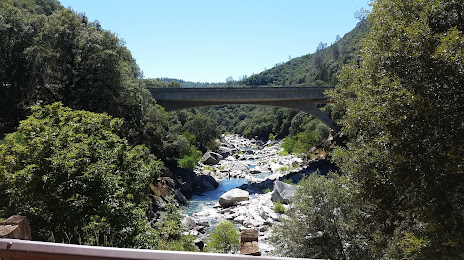
Attractions


Distance to the capital
Distance to the capital (Washington) is about — 3764 km.