 Wickliffe
Brook Park
Mayfield Heights
Ashtabula
Seaford
Healdsburg
Redway
Daytona Beach
Saint Helena
Fenton
Mount Clemens
Hico
Eureka Airport
Lee County
Twinsburg
Portland
Sudbury
Grass Valley
Wrentham
Wickliffe
Brook Park
Mayfield Heights
Ashtabula
Seaford
Healdsburg
Redway
Daytona Beach
Saint Helena
Fenton
Mount Clemens
Hico
Eureka Airport
Lee County
Twinsburg
Portland
Sudbury
Grass Valley
Wrentham
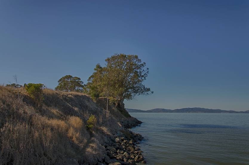
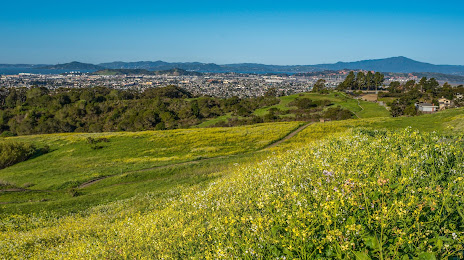
Pinole on the map, United States
Where is located Pinole
Exact location — Pinole, Contra Costa County, California, United States, marked on the map with a red marker.
Coordinates
Pinole, United States coordinates in decimal format: latitude — 38.0043667, longitude — -122.2988587. When converted to degrees, minutes, seconds Pinole has the following coordinates: 38°0′15.72 north latitude and -122°17′55.89 east longitude.
Population
Pinole, Contra Costa County, California, United States, according to our data the population is — 19,540 residents, which is about 0% of the total population of the country (United States).
Comparison of the population on the graph:
Exact time
Time zone for this location Pinole — UTC -7 America/Los_Angeles. Exact time — wednesday, 4 april 2024 year, 15 h. 03 minutes.
Sunrise and sunset
Pinole, sunrise and sunset data for a date — wednesday 24.04.2024.
| Sunrise | Sunset | Day (duration) |
|---|---|---|
| 06:23 -1 minute | 19:50 -0 minutes | 13 h. 30 minutes. +1 minute |
You can control the scale of the map using the auxiliary tools to find out exactly where it is located Pinole. When you change the scale of the map, the width of the ruler also changes (in kilometers and miles).
Nearby cities
The largest cities that are located nearby:
- Richmond — 11 km
- Vallejo — 12 km
- Berkeley — 15 km
- Oakland — 22 km
- Concord — 24 km
- San Francisco — 27 km
- Fairfield — 35 km
- Hayward — 42 km
- Fremont — 57 km
- Santa Rosa — 60 km
- Sunnyvale — 74 km
- Santa Clara — 78 km
- San Jose — 82 km
- Stockton — 88 km
- Sacramento — 94 km
- Roseville — 120 km
- Modesto — 121 km
- Salinas — 157 km
- Fresno — 263 km
Distance to neighboring capitals:
- Mexico City
 (Mexico) — 3045 km
 - Ottawa
 (Canada) — 3899 km
 - Belmopan
 (Belize) — 3995 km
 - Guatemala City
 (Guatemala) — 4062 km
 - Nuuk
 (Greenland) — 5345 km
Attractions
Distance to the capital
Distance to the capital (Washington) is about — 3902 km.