 Daytona Beach
Saint Helena
Clearlake
Atlantic City
Petaluma
Oceanside
Big Rapids
Larkspur
Sonoma
New Baltimore
Pontiac
Rochester
Cass City
Roseville
Northville
Bad Axe
Fenton
Mount Clemens
Hico
Daytona Beach
Saint Helena
Clearlake
Atlantic City
Petaluma
Oceanside
Big Rapids
Larkspur
Sonoma
New Baltimore
Pontiac
Rochester
Cass City
Roseville
Northville
Bad Axe
Fenton
Mount Clemens
Hico
Elkhart on the map, United States
Where is located Elkhart
Exact location — Elkhart, Elkhart County, Indiana, United States, marked on the map with a red marker.
Coordinates
Elkhart, United States coordinates in decimal format: latitude — 41.6819935, longitude — -85.9766671. When converted to degrees, minutes, seconds Elkhart has the following coordinates: 41°40′55.18 north latitude and -85°58′36 east longitude.
Population
Elkhart, Elkhart County, Indiana, United States, according to our data the population is — 51,400 residents, which is about 0% of the total population of the country (United States).
Comparison of the population on the graph:
Exact time
Time zone for this location Elkhart — UTC -4 America/New_York. Exact time — saturday, 4 april 2024 year, 01 h. 53 minutes.
Sunrise and sunset
Elkhart, sunrise and sunset data for a date — saturday 20.04.2024.
| Sunrise | Sunset | Day (duration) |
|---|---|---|
| 06:58 -1 minute | 20:27 +1 minute | 13 h. 30 minutes. +2 minutes |
You can control the scale of the map using the auxiliary tools to find out exactly where it is located Elkhart. When you change the scale of the map, the width of the ruler also changes (in kilometers and miles).
Nearby cities
The largest cities that are located nearby:
- South Bend — 23 km
- Fort Wayne — 96 km
- Chicago — 138 km
- Grand Rapids — 144 km
- Lansing — 164 km
- Joliet — 175 km
- Naperville — 180 km
- Aurora — 193 km
- Ann Arbor — 194 km
- Toledo — 200 km
- Indianapolis — 212 km
- Milwaukee — 216 km
- Flint — 236 km
- Detroit — 250 km
- Windsor
 (Canada) — 250 km
 - Warren — 258 km
- Sterling Heights — 260 km
- Rockford — 263 km
- Springfield — 268 km
Distance to neighboring capitals:
- Ottawa (Canada) — 926 km
- Belmopan
 (Belize) — 2730 km
 - Mexico City
 (Mexico) — 2769 km
 - Guatemala City
 (Guatemala) — 3043 km
 - Nuuk
 (Greenland) — 3317 km
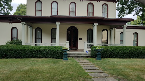
Attractions


Distance to the capital
Distance to the capital (Washington) is about — 818 km.