 Muskogee
Kingsland
Okemah
Burleson
Neodesha
Kiowa
Rehoboth Beach
Hicksville
Wapato
Brook Park
Wickliffe
Chardon
North Olmsted
Mentor
Hiram
Elkhart
Palm Harbor
South El Monte
Warrenton
Muskogee
Kingsland
Okemah
Burleson
Neodesha
Kiowa
Rehoboth Beach
Hicksville
Wapato
Brook Park
Wickliffe
Chardon
North Olmsted
Mentor
Hiram
Elkhart
Palm Harbor
South El Monte
Warrenton
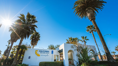
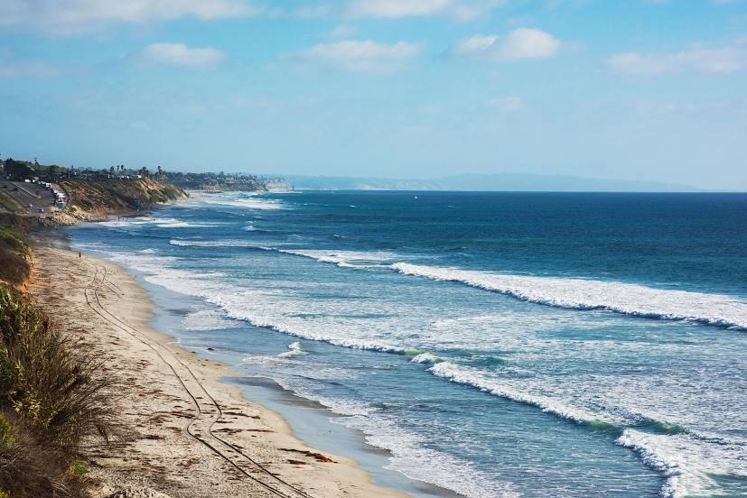
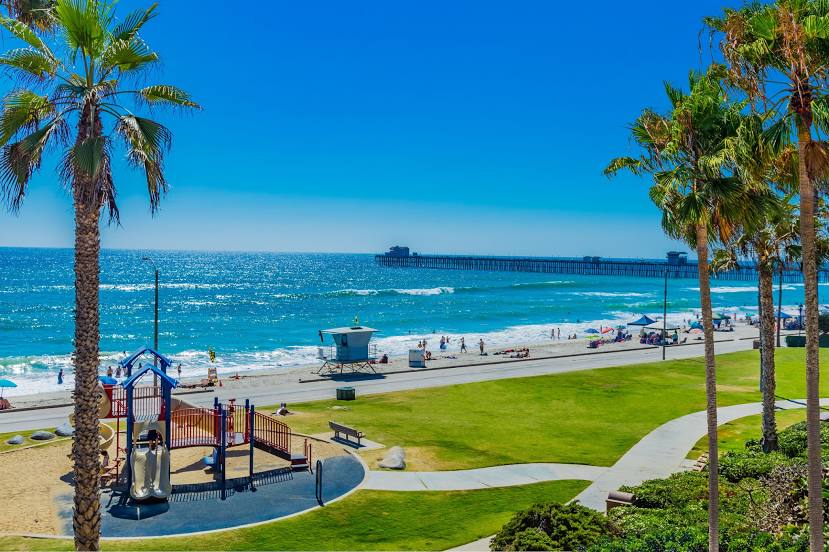
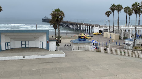
Oceanside on the map, United States
Where is located Oceanside
Exact location — Oceanside, San Diego County, California, United States, marked on the map with a red marker.
Coordinates
Oceanside, United States coordinates in decimal format: latitude — 33.1958696, longitude — -117.3794834. When converted to degrees, minutes, seconds Oceanside has the following coordinates: 33°11′45.13 north latitude and -117°22′46.14 east longitude.
Population
Oceanside, San Diego County, California, United States, according to our data the population is — 170,340 residents, which is about 0.1% of the total population of the country (United States).
Comparison of the population on the graph:
Exact time
Time zone for this location Oceanside — UTC -7 America/Los_Angeles. Exact time — wednesday, 4 april 2024 year, 18 h. 20 minutes.
Sunrise and sunset
Oceanside, sunrise and sunset data for a date — wednesday 24.04.2024.
| Sunrise | Sunset | Day (duration) |
|---|---|---|
| 06:10 -1 minute | 19:24 +1 minute | 13 h. 12 minutes. +2 minutes |
You can control the scale of the map using the auxiliary tools to find out exactly where it is located Oceanside. When you change the scale of the map, the width of the ruler also changes (in kilometers and miles).
Nearby cities
The largest cities that are located nearby:
- Escondido — 28 km
- San Diego — 57 km
- Irvine — 66 km
- Chula Vista — 67 km
- Costa Mesa — 70 km
- Santa Ana — 76 km
- Huntington Beach — 77 km
- Corona — 77 km
- Orange — 79 km
- Tijuana
 (Mexico) — 82 km
 - Garden Grove — 82 km
- Moreno Valley — 84 km
- Riverside — 84 km
- Anaheim — 86 km
- Fullerton — 90 km
- Long Beach — 98 km
- Ontario — 99 km
- Fontana — 99 km
- Rialto — 101 km
Distance to neighboring capitals:
- Mexico City (Mexico) — 2371 km
- Belmopan
 (Belize) — 3363 km
 - Guatemala City
 (Guatemala) — 3405 km
 - Ottawa
 (Canada) — 3786 km
 - Nuuk
 (Greenland) — 5558 km
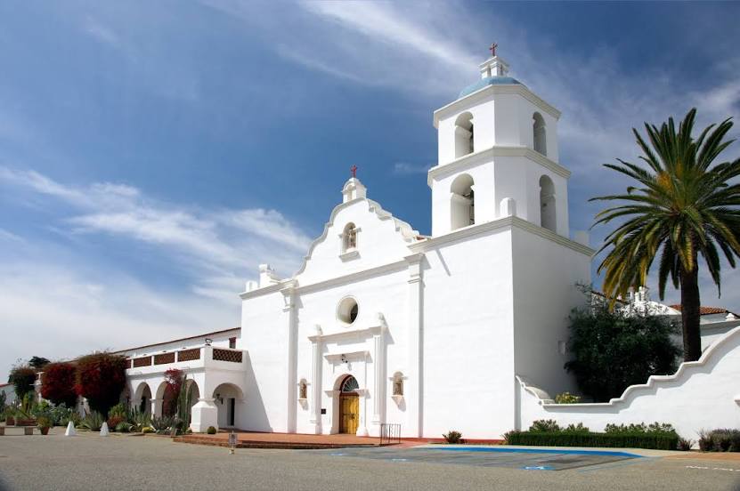
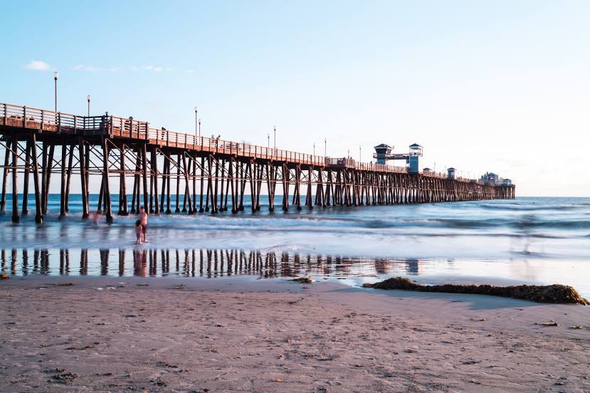
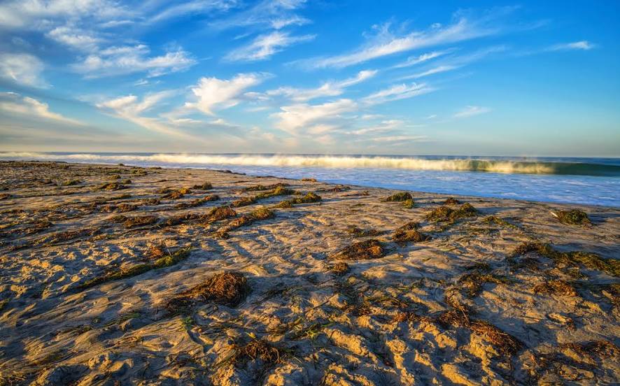
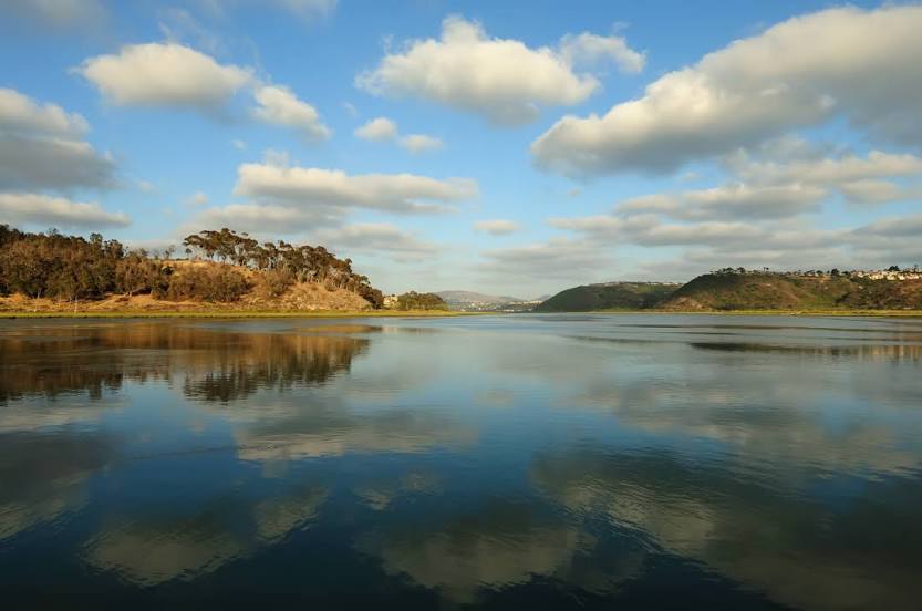
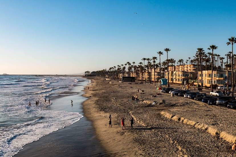
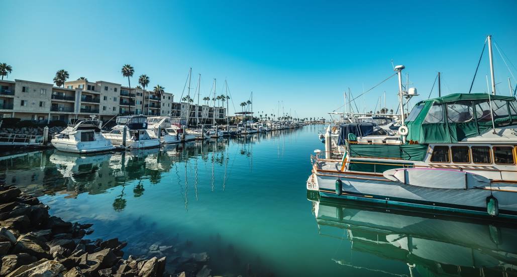
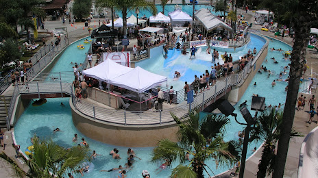
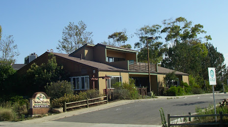
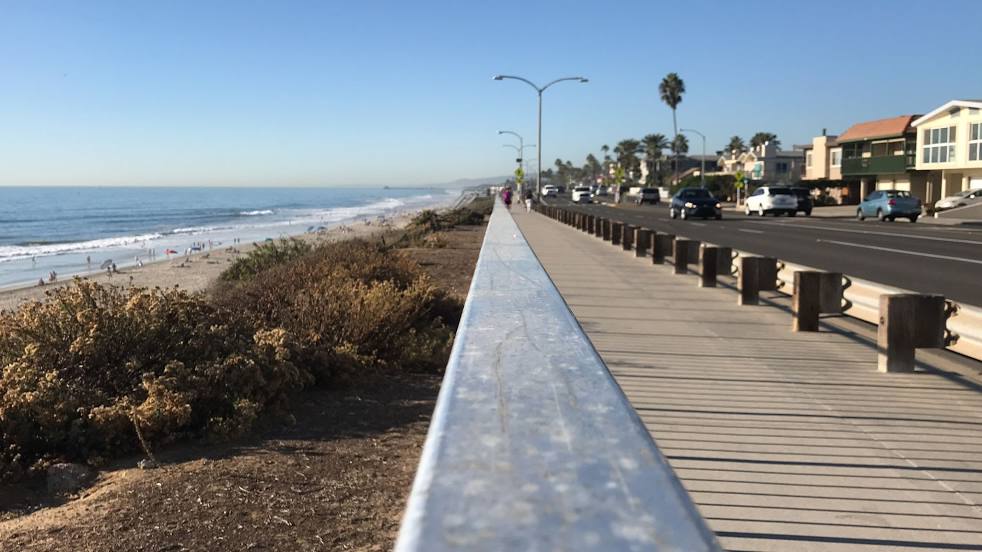
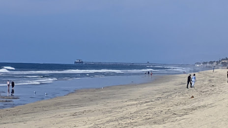
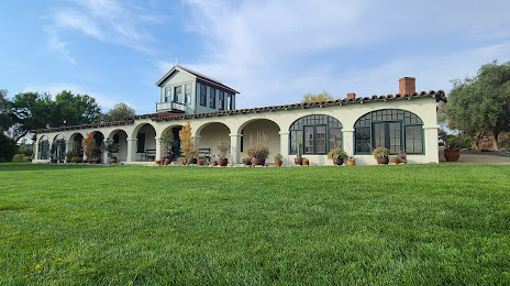
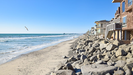
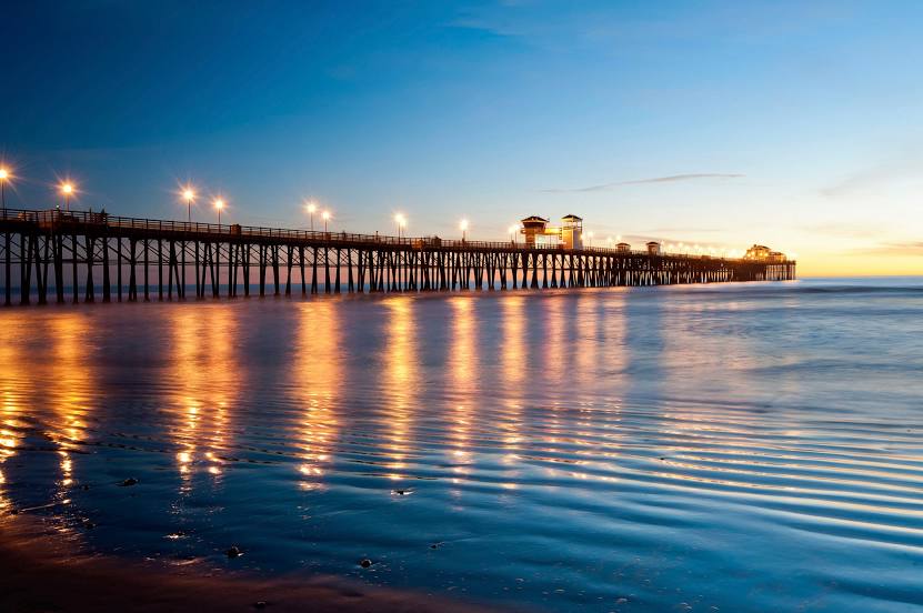
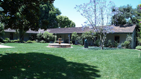
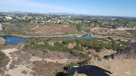
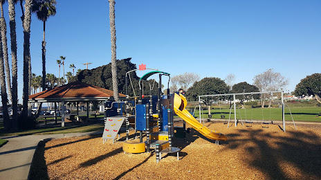
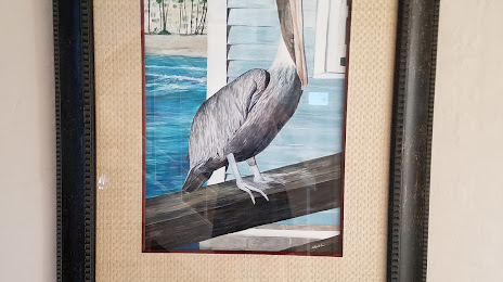
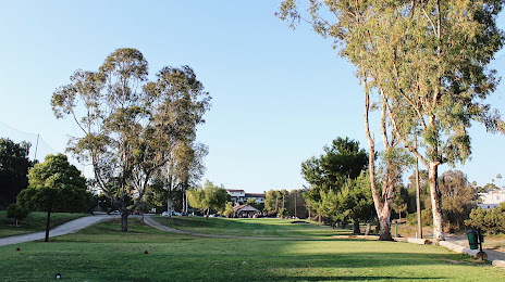
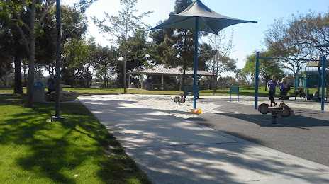
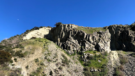
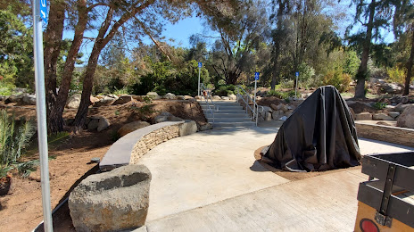
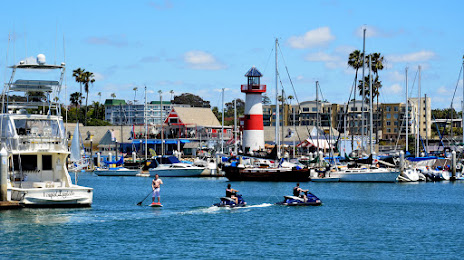
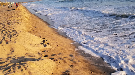
Attractions


Distance to the capital
Distance to the capital (Washington) is about — 3653 km.