 Rio Grande City
Moultrie
Devens
Chilmark
Warminster
Southlake
Lithonia
Santa Paula
Clinton Airport-1i7
Scarborough
Belfast
Brooksville
Brunswick
Auburn
Kennebunk
Waldoboro
Caribou
Gardiner
Rockland
Rio Grande City
Moultrie
Devens
Chilmark
Warminster
Southlake
Lithonia
Santa Paula
Clinton Airport-1i7
Scarborough
Belfast
Brooksville
Brunswick
Auburn
Kennebunk
Waldoboro
Caribou
Gardiner
Rockland
West Orange on the map, United States
Where is located West Orange
Exact location — West Orange, Essex County, New Jersey, United States, marked on the map with a red marker.
Coordinates
West Orange, United States coordinates in decimal format: latitude — 40.7985699, longitude — -74.2390828. When converted to degrees, minutes, seconds West Orange has the following coordinates: 40°47′54.85 north latitude and -74°14′20.7 east longitude.
Population
West Orange, Essex County, New Jersey, United States, according to our data the population is — 48,131 residents, which is about 0% of the total population of the country (United States).
Comparison of the population on the graph:
Exact time
Time zone for this location West Orange — UTC -4 America/New_York. Exact time — wednesday, 4 april 2024 year, 18 h. 16 minutes.
Sunrise and sunset
West Orange, sunrise and sunset data for a date — wednesday 17.04.2024.
| Sunrise | Sunset | Day (duration) |
|---|---|---|
| 06:16 -2 minutes | 19:35 +1 minute | 13 h. 18 minutes. +3 minutes |
You can control the scale of the map using the auxiliary tools to find out exactly where it is located West Orange. When you change the scale of the map, the width of the ruler also changes (in kilometers and miles).
Nearby cities
The largest cities that are located nearby:
- Newark — 9 km
- Paterson — 14 km
- Elizabeth — 15 km
- New York — 22 km
- Brooklyn — 24 km
- Yonkers — 32 km
- Edison — 34 km
- Stamford — 65 km
- Toms River — 93 km
- Bridgeport — 97 km
- Allentown — 107 km
- Philadelphia — 122 km
- New Haven — 123 km
- Waterbury — 129 km
- Hartford — 167 km
- Springfield — 198 km
- Amherst — 222 km
- Worcester — 257 km
- Providence — 259 km
Distance to neighboring capitals:
- Ottawa
 (Canada) — 528 km
 - Belmopan
 (Belize) — 2966 km
 - Nuuk
 (Greenland) — 2978 km
 - Guatemala City
 (Guatemala) — 3312 km
 - Mexico City
 (Mexico) — 3351 km
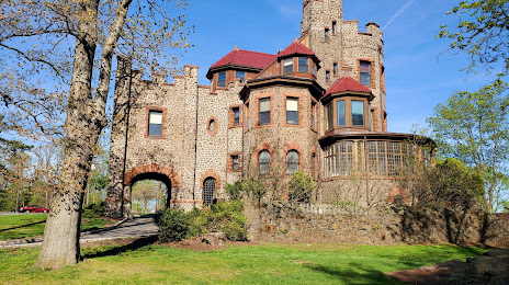
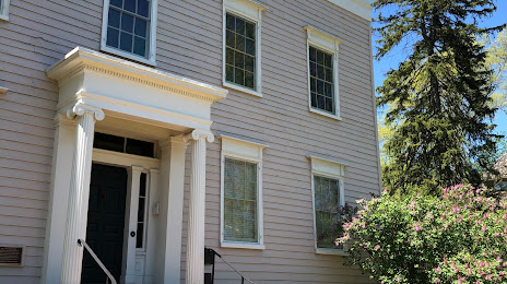
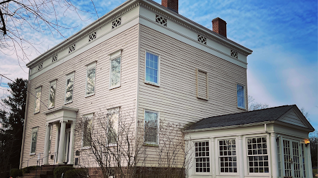
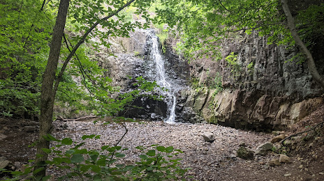
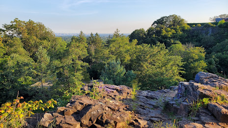
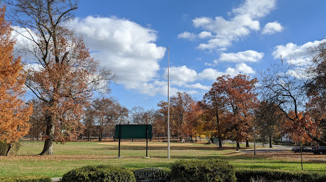
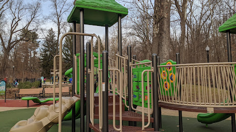
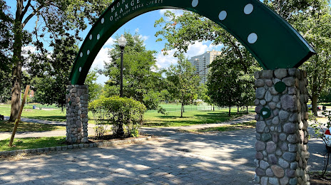
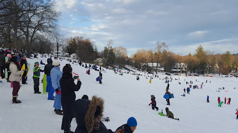
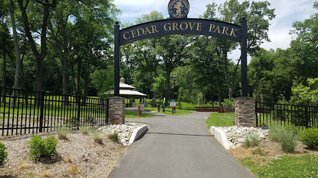
Attractions


Distance to the capital
Distance to the capital (Washington) is about — 318 km.