 Southlake
Lithonia
Santa Paula
Clinton Airport-1i7
Dover
Dumas
Stoughton
Battle Creek
Cumberland
Guilford
Florence
Rexburg
Madawaska
Augusta
Scarborough
Belfast
Brooksville
Brunswick
Auburn
Southlake
Lithonia
Santa Paula
Clinton Airport-1i7
Dover
Dumas
Stoughton
Battle Creek
Cumberland
Guilford
Florence
Rexburg
Madawaska
Augusta
Scarborough
Belfast
Brooksville
Brunswick
Auburn
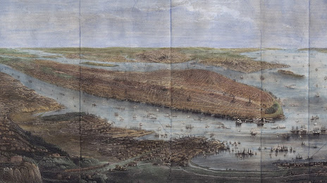
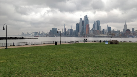
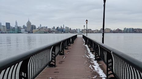
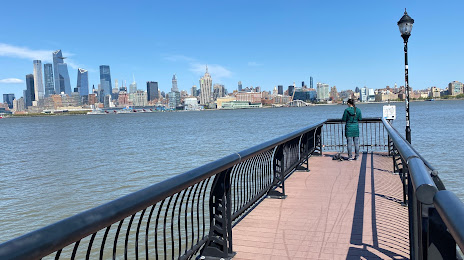
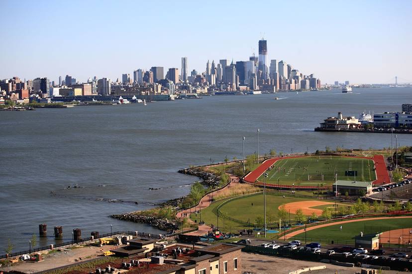
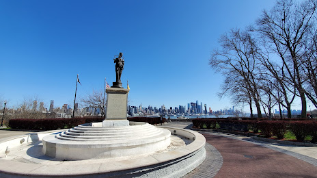
Hoboken on the map, United States
Where is located Hoboken
Exact location — Hoboken, Hudson County, New Jersey, United States, marked on the map with a red marker.
Coordinates
Hoboken, United States coordinates in decimal format: latitude — 40.7439905, longitude — -74.0323626. When converted to degrees, minutes, seconds Hoboken has the following coordinates: 40°44′38.37 north latitude and -74°1′56.51 east longitude.
Population
Hoboken, Hudson County, New Jersey, United States, according to our data the population is — 39,738 residents, which is about 0% of the total population of the country (United States).
Comparison of the population on the graph:
Exact time
Time zone for this location Hoboken — UTC -4 America/New_York. Exact time — tuesday, 4 april 2024 year, 08 h. 48 minutes.
Sunrise and sunset
Hoboken, sunrise and sunset data for a date — tuesday 23.04.2024.
| Sunrise | Sunset | Day (duration) |
|---|---|---|
| 06:07 -1 minute | 19:41 +1 minute | 13 h. 36 minutes. +2 minutes |
You can control the scale of the map using the auxiliary tools to find out exactly where it is located Hoboken. When you change the scale of the map, the width of the ruler also changes (in kilometers and miles).
Nearby cities
The largest cities that are located nearby:
- New York — 4 km
- Brooklyn — 6 km
- Newark — 12 km
- Elizabeth — 17 km
- Paterson — 22 km
- Yonkers — 24 km
- Edison — 40 km
- Stamford — 54 km
- Bridgeport — 85 km
- Toms River — 88 km
- New Haven — 111 km
- Waterbury — 121 km
- Allentown — 123 km
- Philadelphia — 130 km
- Hartford — 158 km
- Springfield — 191 km
- Amherst — 217 km
- Providence — 247 km
- Worcester — 248 km
Distance to neighboring capitals:
- Ottawa
 (Canada) — 538 km
 - Belmopan
 (Belize) — 2971 km
 - Nuuk
 (Greenland) — 2977 km
 - Guatemala City
 (Guatemala) — 3317 km
 - Mexico City
 (Mexico) — 3361 km
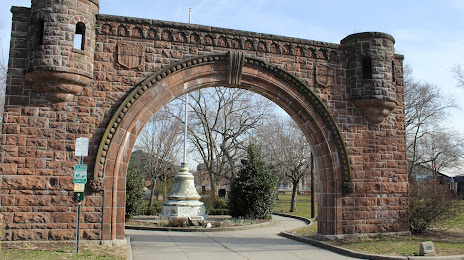
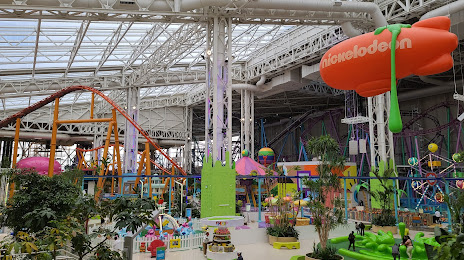
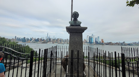
Attractions


Distance to the capital
Distance to the capital (Washington) is about — 328 km.