 Stoughton
Battle Creek
Cumberland
Fairhaven
North Attleborough
Raymondville
Smithfield
Montvale
Lake Zurich
West Orange
Cranford
Bethpage
Carteret
East Thetford
Sedgwick
Guilford
Florence
Rexburg
Madawaska
Stoughton
Battle Creek
Cumberland
Fairhaven
North Attleborough
Raymondville
Smithfield
Montvale
Lake Zurich
West Orange
Cranford
Bethpage
Carteret
East Thetford
Sedgwick
Guilford
Florence
Rexburg
Madawaska
Tupelo on the map, United States
Where is located Tupelo
Exact location — Tupelo, Lee County, Mississippi, United States, marked on the map with a red marker.
Coordinates
Tupelo, United States coordinates in decimal format: latitude — 34.2576066, longitude — -88.7033859. When converted to degrees, minutes, seconds Tupelo has the following coordinates: 34°15′27.38 north latitude and -88°42′12.19 east longitude.
Population
Tupelo, Lee County, Mississippi, United States, according to our data the population is — 35,956 residents, which is about 0% of the total population of the country (United States).
Comparison of the population on the graph:
Exact time
Time zone for this location Tupelo — UTC -5 America/Chicago. Exact time — thursday, 4 april 2024 year, 10 h. 57 minutes.
Sunrise and sunset
Tupelo, sunrise and sunset data for a date — thursday 25.04.2024.
| Sunrise | Sunset | Day (duration) |
|---|---|---|
| 06:13 -1 minute | 19:31 +1 minute | 13 h. 18 minutes. +2 minutes |
You can control the scale of the map using the auxiliary tools to find out exactly where it is located Tupelo. When you change the scale of the map, the width of the ruler also changes (in kilometers and miles).
Nearby cities
The largest cities that are located nearby:
- Memphis — 157 km
- Birmingham — 193 km
- Huntsville — 199 km
- Jackson — 257 km
- Nashville — 272 km
- Clarksville — 278 km
- Montgomery — 307 km
- Chattanooga — 319 km
- Little Rock — 330 km
- Mobile — 399 km
- Atlanta — 401 km
- Evansville — 422 km
- Knoxville — 468 km
- Baton Rouge — 480 km
- Metairie — 492 km
- New Orleans — 494 km
- Saint Louis — 500 km
- Shreveport — 508 km
- Louisville — 510 km
Distance to neighboring capitals:
- Ottawa
 (Canada) — 1662 km
 - Belmopan
 (Belize) — 1892 km
 - Mexico City
 (Mexico) — 1944 km
 - Guatemala City
 (Guatemala) — 2193 km
 - Nuuk
 (Greenland) — 4160 km
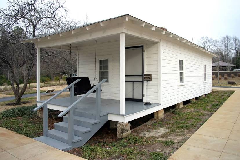
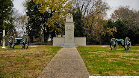
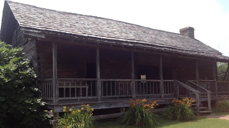
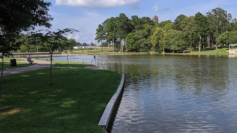
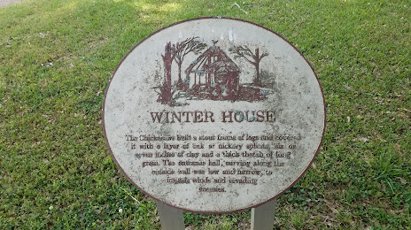
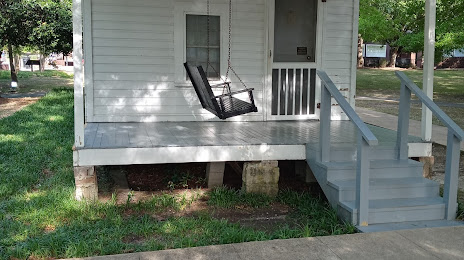
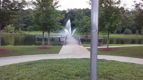
Attractions


Distance to the capital
Distance to the capital (Washington) is about — 1162 km.