 Waycross
Vonore
Commerce
Freehold Township
Hammond
Murphy
Cashiers
Newtown
Marion Airport
Fairhaven
Cumberland
Battle Creek
Stoughton
Dumas
Dover
Clinton Airport-1i7
Santa Paula
Lithonia
Southlake
Waycross
Vonore
Commerce
Freehold Township
Hammond
Murphy
Cashiers
Newtown
Marion Airport
Fairhaven
Cumberland
Battle Creek
Stoughton
Dumas
Dover
Clinton Airport-1i7
Santa Paula
Lithonia
Southlake
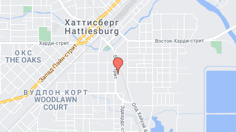
Hattiesburg on the map, United States
Where is located Hattiesburg
Exact location — Hattiesburg, Forrest County, Mississippi, United States, marked on the map with a red marker.
Coordinates
Hattiesburg, United States coordinates in decimal format: latitude — 31.3271189, longitude — -89.2903392. When converted to degrees, minutes, seconds Hattiesburg has the following coordinates: 31°19′37.63 north latitude and -89°17′25.22 east longitude.
Population
Hattiesburg, Forrest County, Mississippi, United States, according to our data the population is — 48,123 residents, which is about 0% of the total population of the country (United States).
Comparison of the population on the graph:
Exact time
Time zone for this location Hattiesburg — UTC -5 America/Chicago. Exact time — wednesday, 4 april 2024 year, 15 h. 40 minutes.
Sunrise and sunset
Hattiesburg, sunrise and sunset data for a date — wednesday 17.04.2024.
| Sunrise | Sunset | Day (duration) |
|---|---|---|
| 06:28 -1 minute | 19:24 +1 minute | 12 h. 54 minutes. +2 minutes |
You can control the scale of the map using the auxiliary tools to find out exactly where it is located Hattiesburg. When you change the scale of the map, the width of the ruler also changes (in kilometers and miles).
Nearby cities
The largest cities that are located nearby:
- Jackson — 136 km
- Mobile — 138 km
- New Orleans — 170 km
- Metairie — 170 km
- Baton Rouge — 201 km
- Lafayette — 288 km
- Montgomery — 302 km
- Birmingham — 334 km
- Memphis — 428 km
- Shreveport — 436 km
- Huntsville — 449 km
- Little Rock — 466 km
- Beaumont — 483 km
- Tallahassee — 488 km
- Atlanta — 524 km
- Chattanooga — 547 km
- Nashville — 580 km
- Clarksville — 600 km
- Houston — 609 km
Distance to neighboring capitals:
- Belmopan
 (Belize) — 1566 km
 - Mexico City
 (Mexico) — 1650 km
 - Guatemala City
 (Guatemala) — 1863 km
 - Ottawa
 (Canada) — 1959 km
 - Nuuk
 (Greenland) — 4479 km
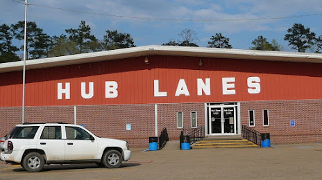
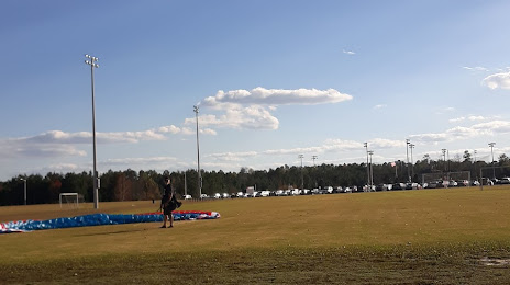
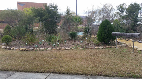
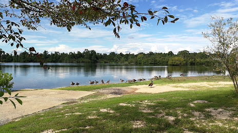
Attractions

Distance to the capital
Distance to the capital (Washington) is about — 1396 km.