 Wyoming
Immokalee
Winfield Airport
Fayette
Elkmont
La Porte
Blountsville
Crestview
Billingsley
Farmington
Hattiesburg
Wyoming
Glendale Heights
Wood Dale
Penn Yan
Cedar Creek
Lake Zurich
Montvale
Smithfield
Wyoming
Immokalee
Winfield Airport
Fayette
Elkmont
La Porte
Blountsville
Crestview
Billingsley
Farmington
Hattiesburg
Wyoming
Glendale Heights
Wood Dale
Penn Yan
Cedar Creek
Lake Zurich
Montvale
Smithfield
Waycross on the map, United States
Where is located Waycross
Exact location — Waycross, Ware County, Georgia, United States, marked on the map with a red marker.
Coordinates
Waycross, United States coordinates in decimal format: latitude — 31.2135511, longitude — -82.3540178. When converted to degrees, minutes, seconds Waycross has the following coordinates: 31°12′48.78 north latitude and -82°21′14.46 east longitude.
Population
Waycross, Ware County, Georgia, United States, according to our data the population is — 15,067 residents, which is about 0% of the total population of the country (United States).
Comparison of the population on the graph:
Exact time
Time zone for this location Waycross — UTC -4 America/New_York. Exact time — wednesday, 4 april 2024 year, 09 h. 44 minutes.
Sunrise and sunset
Waycross, sunrise and sunset data for a date — wednesday 24.04.2024.
| Sunrise | Sunset | Day (duration) |
|---|---|---|
| 06:53 -1 minute | 20:01 +1 minute | 13 h. 6 minutes. +2 minutes |
You can control the scale of the map using the auxiliary tools to find out exactly where it is located Waycross. When you change the scale of the map, the width of the ruler also changes (in kilometers and miles).
Nearby cities
The largest cities that are located nearby:
- Jacksonville — 118 km
- Savannah — 152 km
- Gainesville — 173 km
- Tallahassee — 203 km
- Charleston — 284 km
- Orlando — 311 km
- Columbia — 331 km
- Atlanta — 337 km
- Tampa — 361 km
- Clearwater — 362 km
- Brandon — 362 km
- Saint Petersburg — 381 km
- Montgomery — 390 km
- Charlotte — 464 km
- Port Saint Lucie — 478 km
- Birmingham — 483 km
- Chattanooga — 501 km
- Cape Coral — 516 km
- Fayetteville — 528 km
Distance to neighboring capitals:
- Ottawa
 (Canada) — 1682 km
 - Belmopan
 (Belize) — 1683 km
 - Guatemala City
 (Guatemala) — 2026 km
 - Mexico City
 (Mexico) — 2131 km
 - Nuuk
 (Greenland) — 4236 km
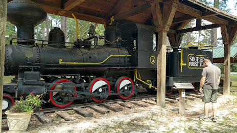
Attractions
Distance to the capital
Distance to the capital (Washington) is about — 983 km.