 Kalispell
Nespelem
Liberty Lake
Mountain Home
Twin Falls
Moscow
Wallis
Rosalia
Kodak
Crestview
Blountsville
La Porte
Elkmont
Fayette
Winfield Airport
Immokalee
Wyoming
Denison
Gaylord
Kalispell
Nespelem
Liberty Lake
Mountain Home
Twin Falls
Moscow
Wallis
Rosalia
Kodak
Crestview
Blountsville
La Porte
Elkmont
Fayette
Winfield Airport
Immokalee
Wyoming
Denison
Gaylord
Muskegon on the map, United States
Where is located Muskegon
Exact location — Muskegon, Muskegon County, Michigan, United States, marked on the map with a red marker.
Coordinates
Muskegon, United States coordinates in decimal format: latitude — 43.2341813, longitude — -86.2483921. When converted to degrees, minutes, seconds Muskegon has the following coordinates: 43°14′3.05 north latitude and -86°14′54.21 east longitude.
Population
Muskegon, Muskegon County, Michigan, United States, according to our data the population is — 40,112 residents, which is about 0% of the total population of the country (United States).
Comparison of the population on the graph:
Exact time
Time zone for this location Muskegon — UTC -4 America/New_York. Exact time — wednesday, 4 april 2024 year, 20 h. 58 minutes.
Sunrise and sunset
Muskegon, sunrise and sunset data for a date — wednesday 24.04.2024.
| Sunrise | Sunset | Day (duration) |
|---|---|---|
| 06:50 -2 minutes | 20:35 +1 minute | 13 h. 48 minutes. +3 minutes |
You can control the scale of the map using the auxiliary tools to find out exactly where it is located Muskegon. When you change the scale of the map, the width of the ruler also changes (in kilometers and miles).
Nearby cities
The largest cities that are located nearby:
- Grand Rapids — 56 km
- Milwaukee — 136 km
- Lansing — 148 km
- South Bend — 172 km
- Chicago — 188 km
- Green Bay — 199 km
- Flint — 208 km
- Naperville — 227 km
- Ann Arbor — 230 km
- Aurora — 236 km
- Joliet — 242 km
- Madison — 255 km
- Fort Wayne — 256 km
- Rockford — 256 km
- Sterling Heights — 272 km
- Warren — 275 km
- Detroit — 280 km
- Windsor
 (Canada) — 282 km
 - Toledo — 282 km
Distance to neighboring capitals:
- Ottawa (Canada) — 873 km
- Belmopan
 (Belize) — 2900 km
 - Mexico City
 (Mexico) — 2908 km
 - Nuuk
 (Greenland) — 3179 km
 - Guatemala City
 (Guatemala) — 3210 km
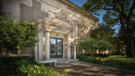
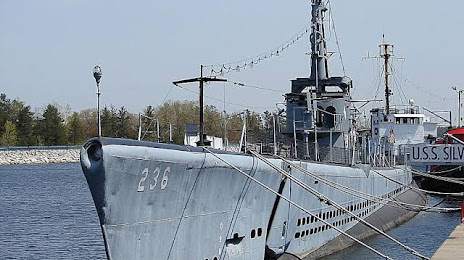
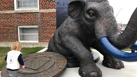
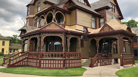
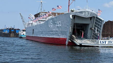
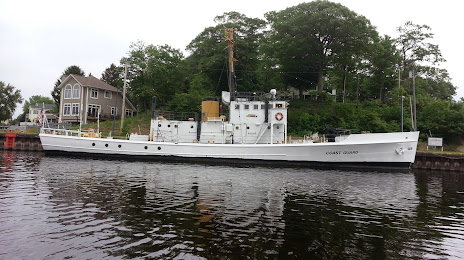
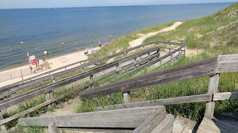
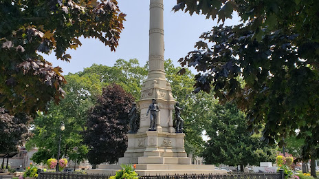
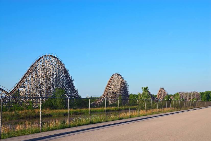
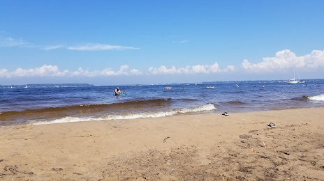
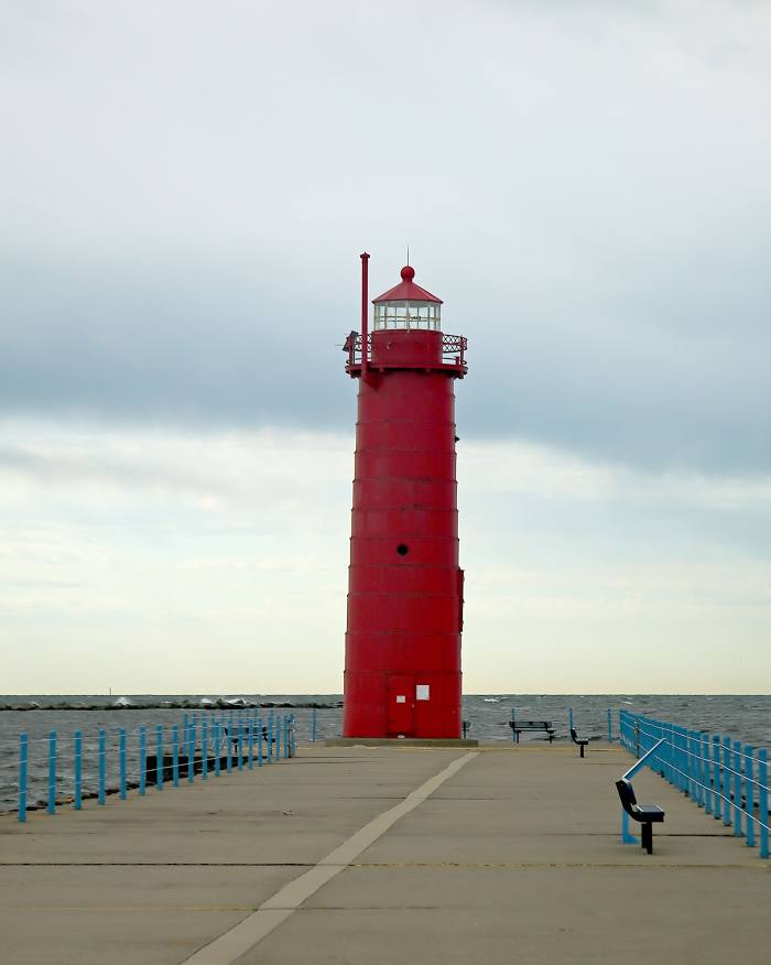
Attractions


Distance to the capital
Distance to the capital (Washington) is about — 909 km.