 Mountain Home
Twin Falls
Moscow
Wallis
Rosalia
Kodak
Downey
Port Saint Lucie
Lynbrook
Tallassee
Sylacauga
Billingsley
Crestview
Blountsville
La Porte
Elkmont
Fayette
Winfield Airport
Immokalee
Mountain Home
Twin Falls
Moscow
Wallis
Rosalia
Kodak
Downey
Port Saint Lucie
Lynbrook
Tallassee
Sylacauga
Billingsley
Crestview
Blountsville
La Porte
Elkmont
Fayette
Winfield Airport
Immokalee
Ionia on the map, United States
Where is located Ionia
Exact location — Ionia, Ionia County, Michigan, United States, marked on the map with a red marker.
Coordinates
Ionia, United States coordinates in decimal format: latitude — 42.9872547, longitude — -85.0711174. When converted to degrees, minutes, seconds Ionia has the following coordinates: 42°59′14.12 north latitude and -85°4′16.02 east longitude.
Population
Ionia, Ionia County, Michigan, United States, according to our data the population is — 13,647 residents, which is about 0% of the total population of the country (United States).
Comparison of the population on the graph:
Exact time
Time zone for this location Ionia — UTC -4 America/New_York. Exact time — thursday, 4 april 2024 year, 19 h. 06 minutes.
Sunrise and sunset
Ionia, sunrise and sunset data for a date — thursday 25.04.2024.
| Sunrise | Sunset | Day (duration) |
|---|---|---|
| 06:44 -2 minutes | 20:31 +1 minute | 13 h. 48 minutes. +3 minutes |
You can control the scale of the map using the auxiliary tools to find out exactly where it is located Ionia. When you change the scale of the map, the width of the ruler also changes (in kilometers and miles).
Nearby cities
The largest cities that are located nearby:
- Grand Rapids — 48 km
- Lansing — 50 km
- Flint — 112 km
- Ann Arbor — 134 km
- Sterling Heights — 172 km
- South Bend — 175 km
- Warren — 176 km
- Detroit — 181 km
- Windsor
 (Canada) — 182 km
 - Toledo — 193 km
- Fort Wayne — 211 km
- Milwaukee — 229 km
- Chicago — 244 km
- Green Bay — 288 km
- Naperville — 289 km
- Joliet — 297 km
- Aurora — 300 km
- London (Canada) — 310 km
- Cleveland — 324 km
Distance to neighboring capitals:
- Ottawa (Canada) — 794 km
- Belmopan
 (Belize) — 2884 km
 - Mexico City
 (Mexico) — 2932 km
 - Nuuk
 (Greenland) — 3154 km
 - Guatemala City
 (Guatemala) — 3199 km
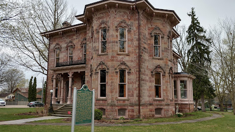
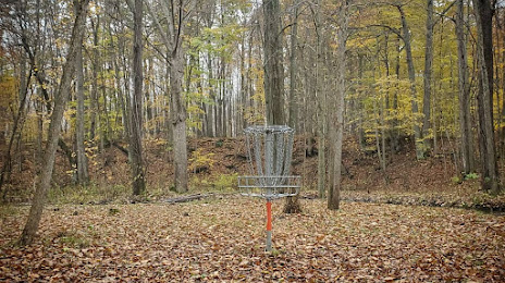
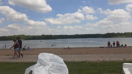
Attractions
Distance to the capital
Distance to the capital (Washington) is about — 813 km.