 Port Saint Lucie
Lynbrook
Lake City
Uxbridge
Wellsville
Punxsutawney
Grantville
Hanover
Florence
Mount Pleasant
Ridley Park
Troy Airport
George West
Boaz
Alabaster
Saraland
Tallassee
Sylacauga
Billingsley
Port Saint Lucie
Lynbrook
Lake City
Uxbridge
Wellsville
Punxsutawney
Grantville
Hanover
Florence
Mount Pleasant
Ridley Park
Troy Airport
George West
Boaz
Alabaster
Saraland
Tallassee
Sylacauga
Billingsley
Westerly on the map, United States
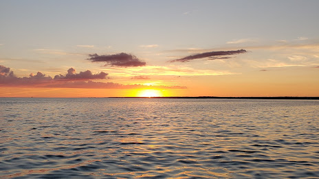
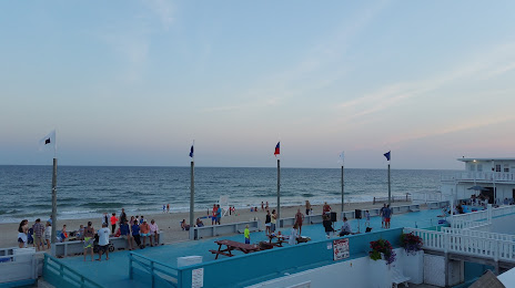
Where is located Westerly
Exact location — Westerly, Washington County, Rhode Island, United States, marked on the map with a red marker.
Coordinates
Westerly, United States coordinates in decimal format: latitude — 41.3775987, longitude — -71.8272871. When converted to degrees, minutes, seconds Westerly has the following coordinates: 41°22′39.36 north latitude and -71°49′38.23 east longitude.
Population
Westerly, Washington County, Rhode Island, United States, according to our data the population is — 26,048 residents, which is about 0% of the total population of the country (United States).
Comparison of the population on the graph:
Exact time
Time zone for this location Westerly — UTC -4 America/New_York. Exact time — wednesday, 4 april 2024 year, 13 h. 14 minutes.
Sunrise and sunset
Westerly, sunrise and sunset data for a date — wednesday 17.04.2024.
| Sunrise | Sunset | Day (duration) |
|---|---|---|
| 06:06 -2 minutes | 19:26 +1 minute | 13 h. 18 minutes. +3 minutes |
You can control the scale of the map using the auxiliary tools to find out exactly where it is located Westerly. When you change the scale of the map, the width of the ruler also changes (in kilometers and miles).
Nearby cities
The largest cities that are located nearby:
- Providence — 60 km
- Hartford — 83 km
- New Haven — 92 km
- Worcester — 98 km
- Springfield — 102 km
- Waterbury — 103 km
- Bridgeport — 116 km
- Amherst — 120 km
- Cambridge — 125 km
- Boston — 125 km
- Lowell — 145 km
- Stamford — 147 km
- Yonkers — 180 km
- Manchester — 181 km
- Brooklyn — 197 km
- New York — 197 km
- Paterson — 202 km
- Newark — 209 km
- Elizabeth — 215 km
Distance to neighboring capitals:
- Ottawa
 (Canada) — 548 km
 - Nuuk
 (Greenland) — 2845 km
 - Belmopan
 (Belize) — 3133 km
 - Guatemala City
 (Guatemala) — 3481 km
 - Mexico City
 (Mexico) — 3551 km
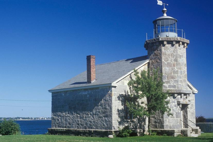
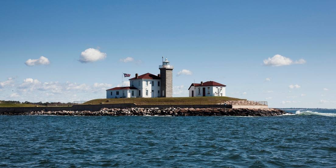
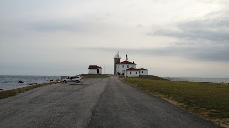
Attractions


Distance to the capital
Distance to the capital (Washington) is about — 521 km.