 Grantville
Hanover
Florence
Olive Branch
Dyersburg
Key Largo
Orleans Airport
Grenada
Leland
Blytheville
Allegan
Ionia
Douglas
Plattsburgh
Muskegon
Mount Pleasant
Ridley Park
Troy Airport
George West
Grantville
Hanover
Florence
Olive Branch
Dyersburg
Key Largo
Orleans Airport
Grenada
Leland
Blytheville
Allegan
Ionia
Douglas
Plattsburgh
Muskegon
Mount Pleasant
Ridley Park
Troy Airport
George West
Twin Falls on the map, United States
Where is located Twin Falls
Exact location — Twin Falls, Twin Falls County, Idaho, United States, marked on the map with a red marker.
Coordinates
Twin Falls, United States coordinates in decimal format: latitude — 42.5629668, longitude — -114.4608711. When converted to degrees, minutes, seconds Twin Falls has the following coordinates: 42°33′46.68 north latitude and -114°27′39.14 east longitude.
Population
Twin Falls, Twin Falls County, Idaho, United States, according to our data the population is — 38,602 residents, which is about 0% of the total population of the country (United States).
Comparison of the population on the graph:
Exact time
Time zone for this location Twin Falls — UTC -6 America/Denver. Exact time — friday, 4 april 2024 year, 00 h. 46 minutes.
Sunrise and sunset
Twin Falls, sunrise and sunset data for a date — friday 19.04.2024.
| Sunrise | Sunset | Day (duration) |
|---|---|---|
| 06:52 -1 minute | 20:21 +1 minute | 13 h. 30 minutes. +2 minutes |
You can control the scale of the map using the auxiliary tools to find out exactly where it is located Twin Falls. When you change the scale of the map, the width of the ruler also changes (in kilometers and miles).
Nearby cities
The largest cities that are located nearby:
- Boise — 183 km
- West Valley City — 292 km
- Salt Lake City — 293 km
- West Jordan — 302 km
- Provo — 350 km
- Reno — 566 km
- Spokane — 605 km
- Eugene — 705 km
- North Las Vegas — 706 km
- Las Vegas — 709 km
- Portland — 716 km
- Spring Valley — 717 km
- Vancouver — 719 km
- Salem — 721 km
- Henderson — 723 km
- Roseville — 724 km
- Sacramento — 751 km
- Stockton — 783 km
- Modesto — 790 km
Distance to neighboring capitals:
- Mexico City
 (Mexico) — 2948 km
 - Ottawa
 (Canada) — 3088 km
 - Belmopan
 (Belize) — 3720 km
 - Guatemala City
 (Guatemala) — 3860 km
 - Nuuk
 (Greenland) — 4549 km
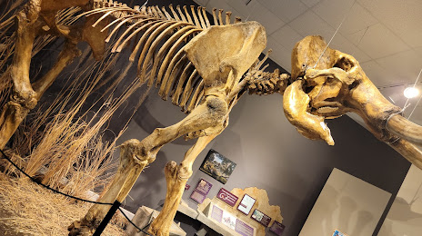
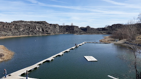
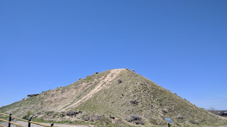
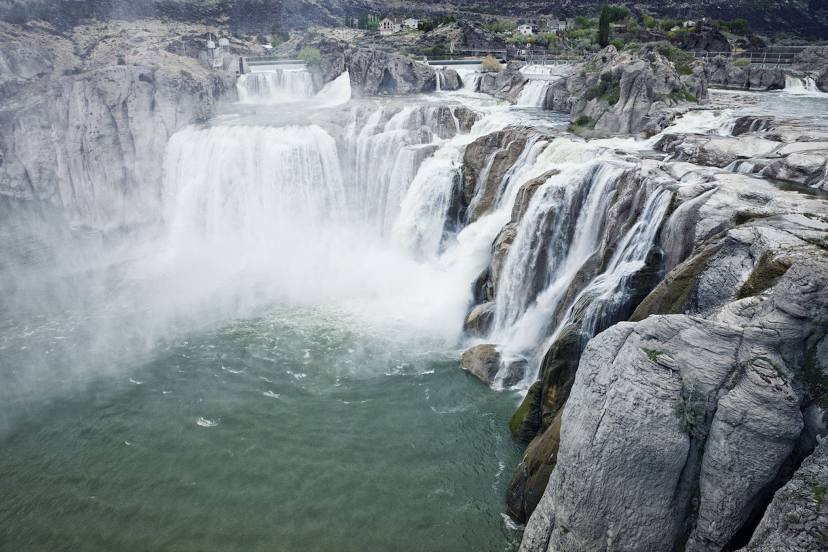
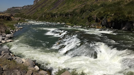
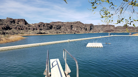
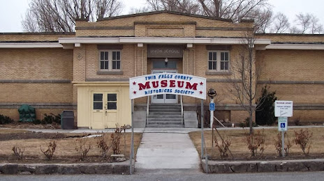
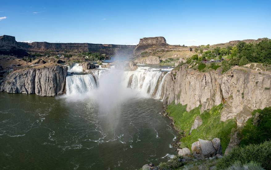
Attractions


Distance to the capital
Distance to the capital (Washington) is about — 3154 km.