Port Saint Lucie — Raymond
Port Saint Lucie — Honolulu
Port Saint Lucie — Derby
Port Saint Lucie — Ethel
Port Saint Lucie — Bushton
Port Saint Lucie — Lewiston Woodville
Port Saint Lucie — Godley
Port Saint Lucie — Port Richey
Port Saint Lucie — Silverton
Port Saint Lucie — Lorena
Port Saint Lucie — Busch
Port Saint Lucie — Lyons
Port Saint Lucie — Alleghany
Port Saint Lucie — Rincon
Port Saint Lucie — Maple City
Port Saint Lucie — Abingdon
Port Saint Lucie — Manchester
Port Saint Lucie — Saint Marys
Port Saint Lucie — Mexico Memorial Airport-Myj
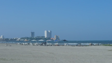
Port Saint Lucie — Boca del Río distance, route on the map
Distance by car
Distance between Port Saint Lucie, Florida, United States and Boca del Río, Veracruz, Mexico by car is — km, or miles. To travel this distance by car, you need minute, or h.
Route on the map, driving directions
Car route Port Saint Lucie — Boca del Río was created automatically. The road on the map is shown as a blue line. By moving the markers, you can create a new route through the points you need.
Distance by plane
If you decide to take a trip Port Saint Lucie Boca del Río by plane, then you have to fly the distance — 1846 km or 1145 miles. It is marked on the map with a gray line (between two points in a straight line).
Flight time
Estimated flight time Port Saint Lucie Boca del Río by plane at cruising speed 750 km / h will be — 2 h. and 27 min.
Direction of movement
United States, Port Saint Lucie — right-hand traffic. Mexico, Boca del Río — right-hand traffic.
Difference in time
Port Saint Lucie and Boca del Río are in different time zones. The time difference is 2 hours (UTC -4 America/New_York, UTC -6 America/Mexico_City).
Interesting Facts
Information on alternative ways to get to your destination.
The length of this distance is about 4.6% of the total length of the equator.
The percentage of the population is clearly shown in the graph:
Port Saint Lucie — 119,371, Boca del Río — 11,099 residents (less by 108,272).
The cost of travel
Calculate the cost of the trip yourself using the fuel consumption calculator, changing the data in the table.
Calculate the cost of other distances from the starting point — Port Saint Lucie.