 Brewton
Bay Minette
Binghamton
Cazenovia
Ithaca
Pleasant Hill
Canastota
East Syracuse
Groveland
Excelsior Springs
Millington
Williamsport
Annville
Toone
Orange Park
Seneca Falls
Jackson
Leland
Grenada
Brewton
Bay Minette
Binghamton
Cazenovia
Ithaca
Pleasant Hill
Canastota
East Syracuse
Groveland
Excelsior Springs
Millington
Williamsport
Annville
Toone
Orange Park
Seneca Falls
Jackson
Leland
Grenada
American Canyon on the map, United States
Where is located American Canyon
Exact location — American Canyon, Napa County, California, United States, marked on the map with a red marker.
Coordinates
American Canyon, United States coordinates in decimal format: latitude — 38.1749178, longitude — -122.2608044. When converted to degrees, minutes, seconds American Canyon has the following coordinates: 38°10′29.7 north latitude and -122°15′38.9 east longitude.
Population
American Canyon, Napa County, California, United States, according to our data the population is — 15,513 residents, which is about 0% of the total population of the country (United States).
Comparison of the population on the graph:
Exact time
Time zone for this location American Canyon — UTC -7 America/Los_Angeles. Exact time — tuesday, 4 april 2024 year, 05 h. 14 minutes.
Sunrise and sunset
American Canyon, sunrise and sunset data for a date — tuesday 23.04.2024.
| Sunrise | Sunset | Day (duration) |
|---|---|---|
| 06:24 -1 minute | 19:50 +1 minute | 13 h. 24 minutes. +2 minutes |
You can control the scale of the map using the auxiliary tools to find out exactly where it is located American Canyon. When you change the scale of the map, the width of the ruler also changes (in kilometers and miles).
Nearby cities
The largest cities that are located nearby:
- Vallejo — 8 km
- Fairfield — 21 km
- Concord — 30 km
- Richmond — 30 km
- Berkeley — 34 km
- Oakland — 41 km
- San Francisco — 46 km
- Santa Rosa — 49 km
- Hayward — 58 km
- Fremont — 73 km
- Sacramento — 80 km
- Stockton — 88 km
- Sunnyvale — 91 km
- Santa Clara — 95 km
- San Jose — 98 km
- Roseville — 105 km
- Modesto — 126 km
- Salinas — 174 km
- Reno — 257 km
Distance to neighboring capitals:
- Mexico City
 (Mexico) — 3053 km
 - Ottawa
 (Canada) — 3888 km
 - Belmopan
 (Belize) — 4000 km
 - Guatemala City
 (Guatemala) — 4069 km
 - Nuuk
 (Greenland) — 5327 km
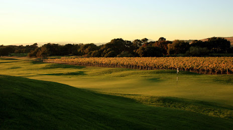
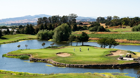
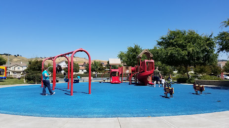
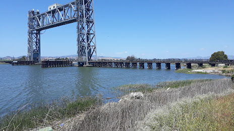
Attractions


Distance to the capital
Distance to the capital (Washington) is about — 3894 km.