 Selkirk
Santa Teresa
Glendora
Waitsfield
Michigan City
Lyndhurst
Nicasio
Canton
Neosho
Canastota
Pleasant Hill
Ithaca
Cazenovia
Binghamton
Bay Minette
Brewton
Loxley
Stuart
Magee
Selkirk
Santa Teresa
Glendora
Waitsfield
Michigan City
Lyndhurst
Nicasio
Canton
Neosho
Canastota
Pleasant Hill
Ithaca
Cazenovia
Binghamton
Bay Minette
Brewton
Loxley
Stuart
Magee
Vacaville on the map, United States
Where is located Vacaville
Exact location — Vacaville, Solano County, California, United States, marked on the map with a red marker.
Coordinates
Vacaville, United States coordinates in decimal format: latitude — 38.3565773, longitude — -121.9877444. When converted to degrees, minutes, seconds Vacaville has the following coordinates: 38°21′23.68 north latitude and -121°59′15.88 east longitude.
Population
Vacaville, Solano County, California, United States, according to our data the population is — 96,469 residents, which is about 0% of the total population of the country (United States).
Comparison of the population on the graph:
Exact time
Time zone for this location Vacaville — UTC -7 America/Los_Angeles. Exact time — wednesday, 4 april 2024 year, 00 h. 18 minutes.
Sunrise and sunset
Vacaville, sunrise and sunset data for a date — wednesday 24.04.2024.
| Sunrise | Sunset | Day (duration) |
|---|---|---|
| 06:21 -1 minute | 19:50 +1 minute | 13 h. 30 minutes. +2 minutes |
You can control the scale of the map using the auxiliary tools to find out exactly where it is located Vacaville. When you change the scale of the map, the width of the ruler also changes (in kilometers and miles).
Nearby cities
The largest cities that are located nearby:
- Fairfield — 13 km
- Vallejo — 36 km
- Concord — 42 km
- Sacramento — 49 km
- Richmond — 59 km
- Berkeley — 59 km
- Santa Rosa — 64 km
- Oakland — 66 km
- Roseville — 75 km
- San Francisco — 75 km
- Stockton — 75 km
- Hayward — 76 km
- Fremont — 89 km
- Sunnyvale — 109 km
- Santa Clara — 111 km
- San Jose — 113 km
- Modesto — 118 km
- Salinas — 188 km
- Reno — 226 km
Distance to neighboring capitals:
- Mexico City
 (Mexico) — 3046 km
 - Ottawa
 (Canada) — 3857 km
 - Belmopan
 (Belize) — 3988 km
 - Guatemala City
 (Guatemala) — 4060 km
 - Nuuk
 (Greenland) — 5297 km
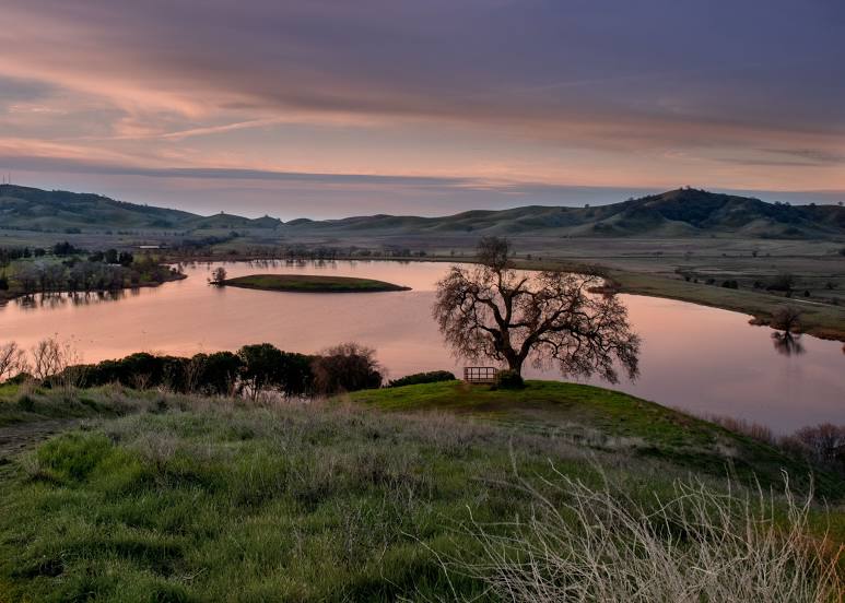
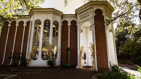
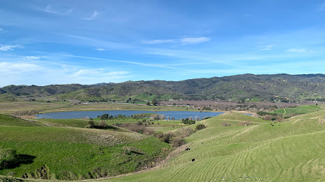
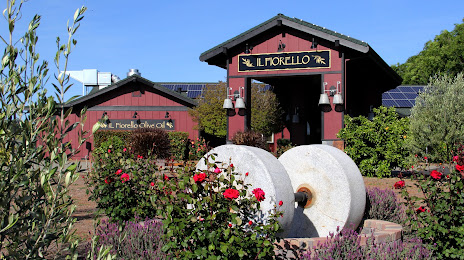
Attractions


Distance to the capital
Distance to the capital (Washington) is about — 3866 km.