 Canton
Neosho
Rockville Centre
Shelbyville
Glendale
Scottsville
Bruce
Franklin
Berryville
Rio Vista
Phoenix
Horseheads
Conklin
Liverpool
Groveland
East Syracuse
Canastota
Pleasant Hill
Ithaca
Canton
Neosho
Rockville Centre
Shelbyville
Glendale
Scottsville
Bruce
Franklin
Berryville
Rio Vista
Phoenix
Horseheads
Conklin
Liverpool
Groveland
East Syracuse
Canastota
Pleasant Hill
Ithaca
Lomita on the map, United States
Where is located Lomita
Exact location — Lomita, Los Angeles County, California, United States, marked on the map with a red marker.
Coordinates
Lomita, United States coordinates in decimal format: latitude — 33.7922392, longitude — -118.3150722. When converted to degrees, minutes, seconds Lomita has the following coordinates: 33°47′32.06 north latitude and -118°18′54.26 east longitude.
Population
Lomita, Los Angeles County, California, United States, according to our data the population is — 20,751 residents, which is about 0% of the total population of the country (United States).
Comparison of the population on the graph:
Exact time
Time zone for this location Lomita — UTC -7 America/Los_Angeles. Exact time — saturday, 4 april 2024 year, 06 h. 43 minutes.
Sunrise and sunset
Lomita, sunrise and sunset data for a date — saturday 20.04.2024.
| Sunrise | Sunset | Day (duration) |
|---|---|---|
| 06:18 -1 minute | 19:25 +1 minute | 13 h. 6 minutes. +2 minutes |
You can control the scale of the map using the auxiliary tools to find out exactly where it is located Lomita. When you change the scale of the map, the width of the ruler also changes (in kilometers and miles).
Nearby cities
The largest cities that are located nearby:
- Torrance — 5 km
- Long Beach — 11 km
- Inglewood — 19 km
- Downey — 23 km
- Norwalk — 25 km
- East Los Angeles — 29 km
- Los Angeles — 29 km
- Huntington Beach — 33 km
- Garden Grove — 34 km
- Fullerton — 37 km
- Anaheim — 37 km
- Universal City — 39 km
- Glendale — 39 km
- Costa Mesa — 40 km
- El Monte — 40 km
- Santa Ana — 41 km
- Pasadena — 42 km
- Orange — 42 km
- Burbank — 43 km
Distance to neighboring capitals:
- Mexico City
 (Mexico) — 2480 km
 - Belmopan
 (Belize) — 3470 km
 - Guatemala City
 (Guatemala) — 3514 km
 - Ottawa
 (Canada) — 3823 km
 - Nuuk
 (Greenland) — 5547 km
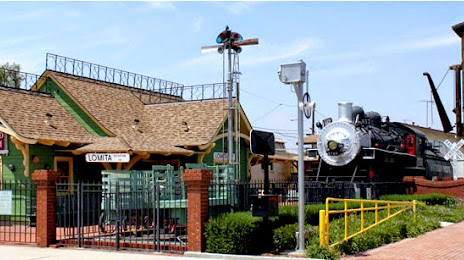
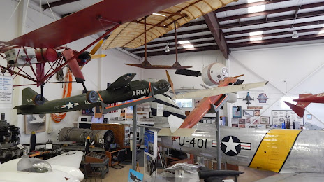
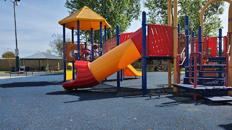
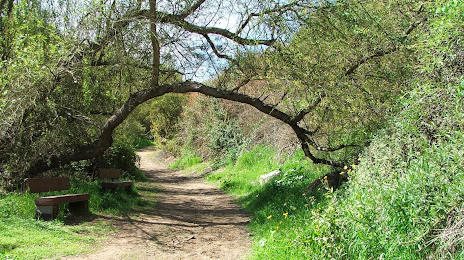
Attractions
Distance to the capital
Distance to the capital (Washington) is about — 3709 km.