 Franklin
Berryville
Big Sur
Mount Airy
Takoma Park
Rootstown
East Liverpool
Yacolt
Largo
Iowa Falls
Albia
Draper
Vacaville
Price
Scotts Mills
Mount Ulla
Rio Vista
Phoenix
Horseheads
Franklin
Berryville
Big Sur
Mount Airy
Takoma Park
Rootstown
East Liverpool
Yacolt
Largo
Iowa Falls
Albia
Draper
Vacaville
Price
Scotts Mills
Mount Ulla
Rio Vista
Phoenix
Horseheads
Glendora on the map, United States
Where is located Glendora
Exact location — Glendora, Los Angeles County, California, United States, marked on the map with a red marker.
Coordinates
Glendora, United States coordinates in decimal format: latitude — 34.1361187, longitude — -117.865339. When converted to degrees, minutes, seconds Glendora has the following coordinates: 34°8′10.03 north latitude and -117°51′55.22 east longitude.
Population
Glendora, Los Angeles County, California, United States, according to our data the population is — 51,541 residents, which is about 0% of the total population of the country (United States).
Comparison of the population on the graph:
Exact time
Time zone for this location Glendora — UTC -7 America/Los_Angeles. Exact time — thursday, 4 april 2024 year, 00 h. 58 minutes.
Sunrise and sunset
Glendora, sunrise and sunset data for a date — thursday 25.04.2024.
| Sunrise | Sunset | Day (duration) |
|---|---|---|
| 06:10 -1 minute | 19:28 +1 minute | 13 h. 18 minutes. +2 minutes |
You can control the scale of the map using the auxiliary tools to find out exactly where it is located Glendora. When you change the scale of the map, the width of the ruler also changes (in kilometers and miles).
Nearby cities
The largest cities that are located nearby:
- West Covina — 10 km
- Pomona — 14 km
- El Monte — 17 km
- Ontario — 21 km
- Rancho Cucamonga — 25 km
- Pasadena — 26 km
- Fullerton — 30 km
- East Los Angeles — 30 km
- Norwalk — 33 km
- Downey — 33 km
- Anaheim — 34 km
- Glendale — 36 km
- Los Angeles — 36 km
- Orange — 39 km
- Fontana — 40 km
- Corona — 40 km
- Garden Grove — 41 km
- Burbank — 41 km
- Santa Ana — 43 km
Distance to neighboring capitals:
- Mexico City
 (Mexico) — 2469 km
 - Belmopan
 (Belize) — 3449 km
 - Guatemala City
 (Guatemala) — 3498 km
 - Ottawa
 (Canada) — 3767 km
 - Nuuk
 (Greenland) — 5492 km
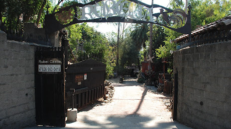
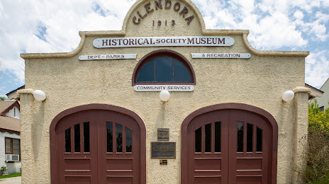
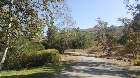
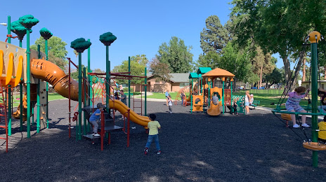
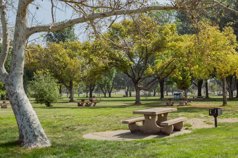
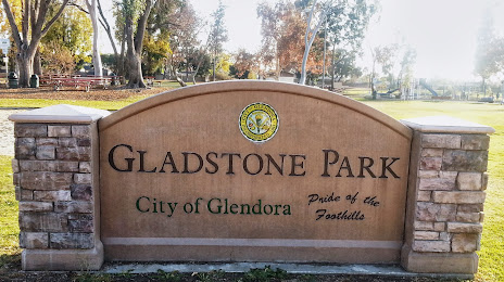
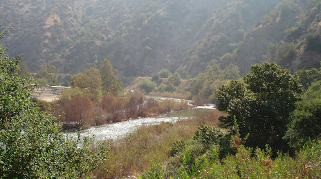
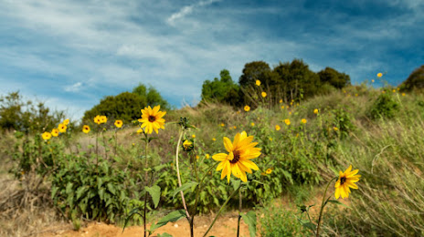
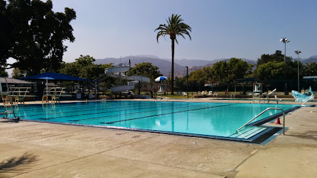
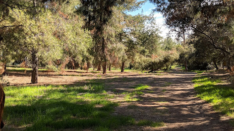
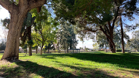
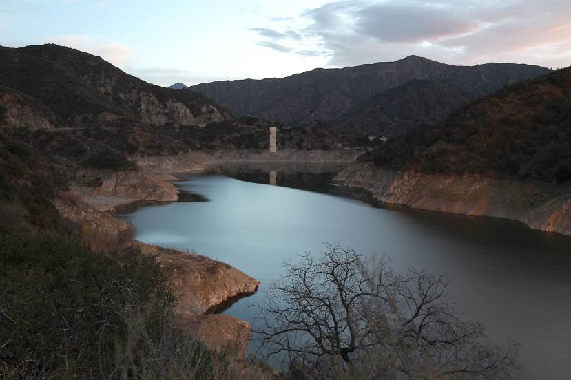
Attractions


Distance to the capital
Distance to the capital (Washington) is about — 3657 km.