 Big Sur
Mount Airy
Takoma Park
Rootstown
East Liverpool
Yacolt
Largo
Sebring
Plant City
Lakota
Boone
Iowa Falls
Albia
Draper
Vacaville
Price
Scotts Mills
Mount Ulla
Rio Vista
Big Sur
Mount Airy
Takoma Park
Rootstown
East Liverpool
Yacolt
Largo
Sebring
Plant City
Lakota
Boone
Iowa Falls
Albia
Draper
Vacaville
Price
Scotts Mills
Mount Ulla
Rio Vista
Michigan City on the map, United States
Where is located Michigan City
Exact location — Michigan City, LaPorte County, Indiana, United States, marked on the map with a red marker.
Coordinates
Michigan City, United States coordinates in decimal format: latitude — 41.7075394, longitude — -86.8950297. When converted to degrees, minutes, seconds Michigan City has the following coordinates: 41°42′27.14 north latitude and -86°53′42.11 east longitude.
Population
Michigan City, LaPorte County, Indiana, United States, according to our data the population is — 31,903 residents, which is about 0% of the total population of the country (United States).
Comparison of the population on the graph:
Exact time
Time zone for this location Michigan City — UTC -5 America/Chicago. Exact time — thursday, 4 april 2024 year, 20 h. 19 minutes.
Sunrise and sunset
Michigan City, sunrise and sunset data for a date — thursday 18.04.2024.
| Sunrise | Sunset | Day (duration) |
|---|---|---|
| 06:04 -2 minutes | 19:28 +1 minute | 13 h. 24 minutes. +3 minutes |
You can control the scale of the map using the auxiliary tools to find out exactly where it is located Michigan City. When you change the scale of the map, the width of the ruler also changes (in kilometers and miles).
Nearby cities
The largest cities that are located nearby:
- South Bend — 53 km
- Chicago — 63 km
- Joliet — 100 km
- Naperville — 104 km
- Aurora — 118 km
- Fort Wayne — 162 km
- Milwaukee — 168 km
- Grand Rapids — 171 km
- Rockford — 190 km
- Lansing — 221 km
- Indianapolis — 223 km
- Peoria — 252 km
- Madison — 253 km
- Ann Arbor — 266 km
- Toledo — 276 km
- Flint — 297 km
- Detroit — 322 km
- Windsor
 (Canada) — 323 km
 - Green Bay — 323 km
Distance to neighboring capitals:
- Ottawa (Canada) — 991 km
- Belmopan
 (Belize) — 2726 km
 - Mexico City
 (Mexico) — 2734 km
 - Guatemala City
 (Guatemala) — 3034 km
 - Nuuk
 (Greenland) — 3353 km
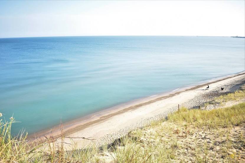
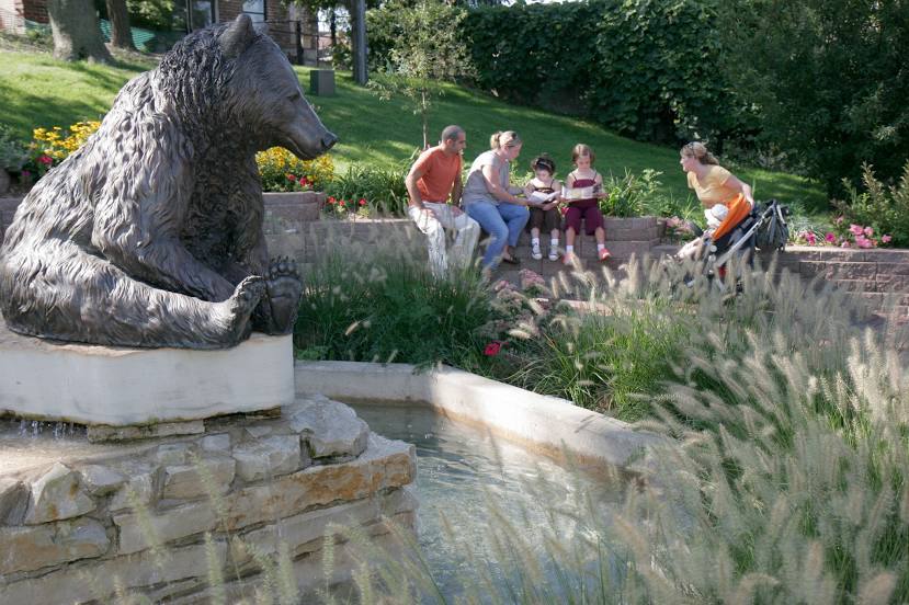
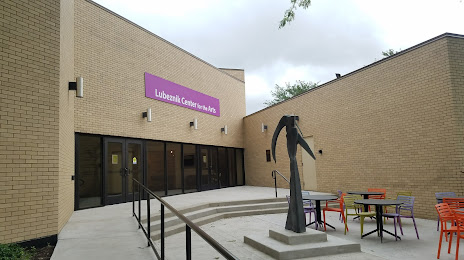
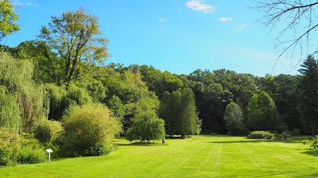
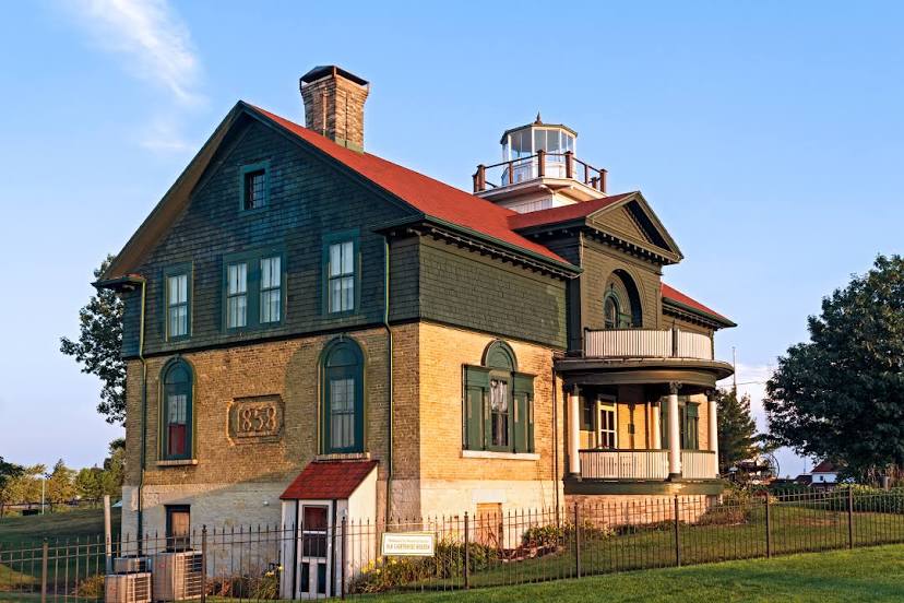
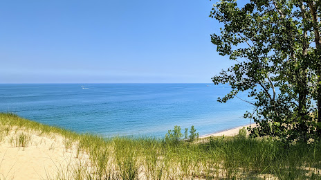
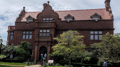
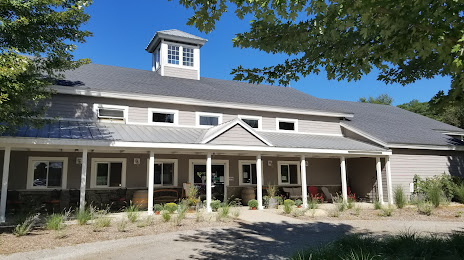
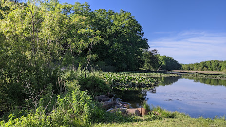
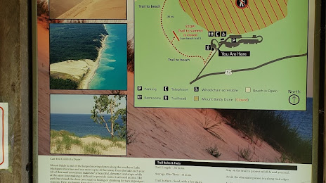
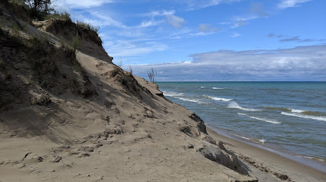
Attractions


Distance to the capital
Distance to the capital (Washington) is about — 892 km.