 Berea
Bloomsdale
Shoals
Barbourville
Shoreham
Quogue
Medford
Ranburne
Bay Shore
Scottsville
Glendale
Shelbyville
Rockville Centre
Neosho
Canton
Nicasio
Lyndhurst
Michigan City
Waitsfield
Berea
Bloomsdale
Shoals
Barbourville
Shoreham
Quogue
Medford
Ranburne
Bay Shore
Scottsville
Glendale
Shelbyville
Rockville Centre
Neosho
Canton
Nicasio
Lyndhurst
Michigan City
Waitsfield
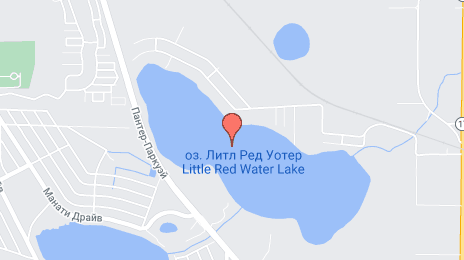
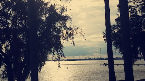
Sebring on the map, United States
Where is located Sebring
Exact location — Sebring, Highlands County, Florida, United States, marked on the map with a red marker.
Coordinates
Sebring, United States coordinates in decimal format: latitude — 27.495592, longitude — -81.440907. When converted to degrees, minutes, seconds Sebring has the following coordinates: 27°29′44.13 north latitude and -81°26′27.27 east longitude.
Population
Sebring, Highlands County, Florida, United States, according to our data the population is — 10,030 residents, which is about 0% of the total population of the country (United States).
Comparison of the population on the graph:
Exact time
Time zone for this location Sebring — UTC -4 America/New_York. Exact time — friday, 4 april 2024 year, 15 h. 38 minutes.
Sunrise and sunset
Sebring, sunrise and sunset data for a date — friday 19.04.2024.
| Sunrise | Sunset | Day (duration) |
|---|---|---|
| 06:59 -1 minute | 19:50 +1 minute | 12 h. 54 minutes. +2 minutes |
You can control the scale of the map using the auxiliary tools to find out exactly where it is located Sebring. When you change the scale of the map, the width of the ruler also changes (in kilometers and miles).
Nearby cities
The largest cities that are located nearby:
- Brandon — 96 km
- Port Saint Lucie — 109 km
- Tampa — 111 km
- Cape Coral — 115 km
- Orlando — 115 km
- Saint Petersburg — 121 km
- Clearwater — 143 km
- Coral Springs — 178 km
- Fort Lauderdale — 199 km
- Pembroke Pines — 200 km
- Miramar — 202 km
- Hollywood — 208 km
- Hialeah — 215 km
- Miami — 229 km
- Gainesville — 253 km
- Jacksonville — 314 km
- Tallahassee — 423 km
- Havana
 (Cuba) — 487 km
 - Nassau
 (The Bahamas) — 491 km
Distance to neighboring capitals:
- Belmopan
 (Belize) — 1365 km
 - Guatemala City
 (Guatemala) — 1714 km
 - Mexico City
 (Mexico) — 2013 km
 - Ottawa
 (Canada) — 2058 km
 - Nuuk
 (Greenland) — 4594 km
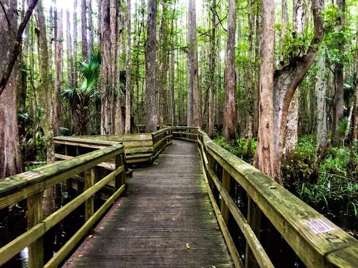
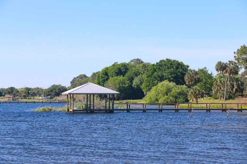
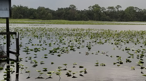
Attractions


Distance to the capital
Distance to the capital (Washington) is about — 1333 km.