 Brandywine
Ennis
Harborside
Clarksville
Rustburg
Prince George's County
Ripton
Madison Heights
Staunton
Bristol
East Providence
Fall River
Montauk
Setauket- East Setauket
Port Jefferson Station
Riverhead
Bay Shore
Ranburne
Medford
Brandywine
Ennis
Harborside
Clarksville
Rustburg
Prince George's County
Ripton
Madison Heights
Staunton
Bristol
East Providence
Fall River
Montauk
Setauket- East Setauket
Port Jefferson Station
Riverhead
Bay Shore
Ranburne
Medford
Yuba City on the map, United States
Where is located Yuba City
Exact location — Yuba City, Sutter County, California, United States, marked on the map with a red marker.
Coordinates
Yuba City, United States coordinates in decimal format: latitude — 39.1404477, longitude — -121.6169108. When converted to degrees, minutes, seconds Yuba City has the following coordinates: 39°8′25.61 north latitude and -121°37′0.88 east longitude.
Population
Yuba City, Sutter County, California, United States, according to our data the population is — 52,432 residents, which is about 0% of the total population of the country (United States).
Comparison of the population on the graph:
Exact time
Time zone for this location Yuba City — UTC -7 America/Los_Angeles. Exact time — saturday, 4 april 2024 year, 09 h. 02 minutes.
Sunrise and sunset
Yuba City, sunrise and sunset data for a date — saturday 20.04.2024.
| Sunrise | Sunset | Day (duration) |
|---|---|---|
| 06:24 -1 minute | 19:46 +1 minute | 13 h. 24 minutes. +2 minutes |
You can control the scale of the map using the auxiliary tools to find out exactly where it is located Yuba City. When you change the scale of the map, the width of the ruler also changes (in kilometers and miles).
Nearby cities
The largest cities that are located nearby:
- Roseville — 51 km
- Sacramento — 63 km
- Fairfield — 105 km
- Santa Rosa — 123 km
- Vallejo — 127 km
- Concord — 133 km
- Stockton — 134 km
- Richmond — 150 km
- Berkeley — 152 km
- Oakland — 158 km
- Reno — 160 km
- San Francisco — 166 km
- Hayward — 168 km
- Modesto — 175 km
- Fremont — 179 km
- Sunnyvale — 199 km
- Santa Clara — 200 km
- San Jose — 201 km
- Salinas — 272 km
Distance to neighboring capitals:
- Mexico City
 (Mexico) — 3075 km
 - Ottawa
 (Canada) — 3790 km
 - Belmopan
 (Belize) — 3999 km
 - Guatemala City
 (Guatemala) — 4079 km
 - Nuuk
 (Greenland) — 5207 km
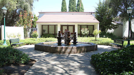
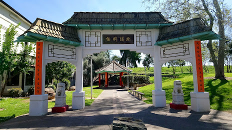
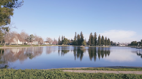
Attractions

Distance to the capital
Distance to the capital (Washington) is about — 3812 km.