 Jackson
Pittsburgh
Lafayette
Auburn
Greenwood
Brentwood
LaGrange
Lincoln
Nantucket
Brandywine
Sperryville
Woodland
Romeoville
Minooka
Hildale
Channahon
Glen Cove
Portage
Dufur
Jackson
Pittsburgh
Lafayette
Auburn
Greenwood
Brentwood
LaGrange
Lincoln
Nantucket
Brandywine
Sperryville
Woodland
Romeoville
Minooka
Hildale
Channahon
Glen Cove
Portage
Dufur
Bellflower on the map, United States
Where is located Bellflower
Exact location — Bellflower, Los Angeles County, California, United States, marked on the map with a red marker.
Coordinates
Bellflower, United States coordinates in decimal format: latitude — 33.8816818, longitude — -118.1170117. When converted to degrees, minutes, seconds Bellflower has the following coordinates: 33°52′54.05 north latitude and -118°7′1.24 east longitude.
Population
Bellflower, Los Angeles County, California, United States, according to our data the population is — 75,847 residents, which is about 0% of the total population of the country (United States).
Comparison of the population on the graph:
Exact time
Time zone for this location Bellflower — UTC -7 America/Los_Angeles. Exact time — saturday, 4 april 2024 year, 01 h. 54 minutes.
Sunrise and sunset
Bellflower, sunrise and sunset data for a date — saturday 20.04.2024.
| Sunrise | Sunset | Day (duration) |
|---|---|---|
| 06:17 -1 minute | 19:25 +1 minute | 13 h. 6 minutes. +2 minutes |
You can control the scale of the map using the auxiliary tools to find out exactly where it is located Bellflower. When you change the scale of the map, the width of the ruler also changes (in kilometers and miles).
Nearby cities
The largest cities that are located nearby:
- Norwalk — 4 km
- Downey — 7 km
- Long Beach — 14 km
- East Los Angeles — 16 km
- Fullerton — 18 km
- Anaheim — 19 km
- Garden Grove — 20 km
- Torrance — 21 km
- Los Angeles — 22 km
- El Monte — 22 km
- Inglewood — 23 km
- West Covina — 26 km
- Orange — 26 km
- Huntington Beach — 27 km
- Santa Ana — 27 km
- Pasadena — 30 km
- Glendale — 31 km
- Costa Mesa — 32 km
- Universal City — 36 km
Distance to neighboring capitals:
- Mexico City
 (Mexico) — 2471 km
 - Belmopan
 (Belize) — 3457 km
 - Guatemala City
 (Guatemala) — 3503 km
 - Ottawa
 (Canada) — 3802 km
 - Nuuk
 (Greenland) — 5529 km
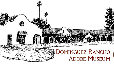
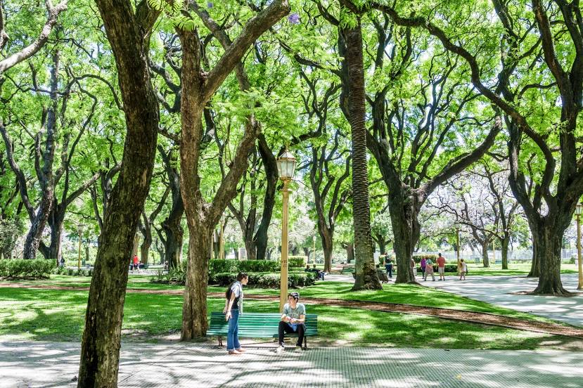
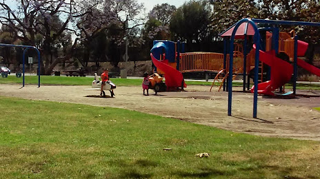
Attractions


Distance to the capital
Distance to the capital (Washington) is about — 3689 km.