 Sundance
Brimfield
Elk City Regional Business Airport
La Grande
Havre
Orofino
Great Falls
Saint Maries
Chapin
LaGrange
Brentwood
Greenwood
Auburn
Lafayette
Pittsburgh
Jackson
Sterling Airport
Fruita
Montrose
Sundance
Brimfield
Elk City Regional Business Airport
La Grande
Havre
Orofino
Great Falls
Saint Maries
Chapin
LaGrange
Brentwood
Greenwood
Auburn
Lafayette
Pittsburgh
Jackson
Sterling Airport
Fruita
Montrose
Two Rivers on the map, United States
Where is located Two Rivers
Exact location — Two Rivers, Manitowoc County, Wisconsin, United States, marked on the map with a red marker.
Coordinates
Two Rivers, United States coordinates in decimal format: latitude — 44.1538844, longitude — -87.5692478. When converted to degrees, minutes, seconds Two Rivers has the following coordinates: 44°9′13.98 north latitude and -87°34′9.29 east longitude.
Population
Two Rivers, Manitowoc County, Wisconsin, United States, according to our data the population is — 11,985 residents, which is about 0% of the total population of the country (United States).
Comparison of the population on the graph:
Exact time
Time zone for this location Two Rivers — UTC -5 America/Chicago. Exact time — tuesday, 4 april 2024 year, 07 h. 10 minutes.
Sunrise and sunset
Two Rivers, sunrise and sunset data for a date — tuesday 23.04.2024.
| Sunrise | Sunset | Day (duration) |
|---|---|---|
| 05:55 -2 minutes | 19:41 +1 minute | 13 h. 48 minutes. +3 minutes |
You can control the scale of the map using the auxiliary tools to find out exactly where it is located Two Rivers. When you change the scale of the map, the width of the ruler also changes (in kilometers and miles).
Nearby cities
The largest cities that are located nearby:
- Green Bay — 54 km
- Milwaukee — 126 km
- Madison — 190 km
- Grand Rapids — 202 km
- Rockford — 243 km
- Chicago — 252 km
- Naperville — 270 km
- Aurora — 272 km
- Lansing — 291 km
- Joliet — 294 km
- South Bend — 295 km
- Flint — 338 km
- Ann Arbor — 375 km
- Fort Wayne — 396 km
- Sterling Heights — 408 km
- Warren — 413 km
- Peoria — 418 km
- Detroit — 421 km
- Windsor
 (Canada) — 423 km
Distance to neighboring capitals:
- Ottawa (Canada) — 947 km
- Mexico City
 (Mexico) — 2952 km
 - Belmopan
 (Belize) — 2994 km
 - Nuuk
 (Greenland) — 3149 km
 - Guatemala City
 (Guatemala) — 3298 km
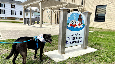
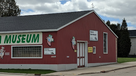
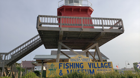
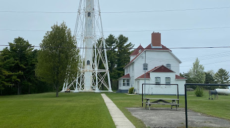
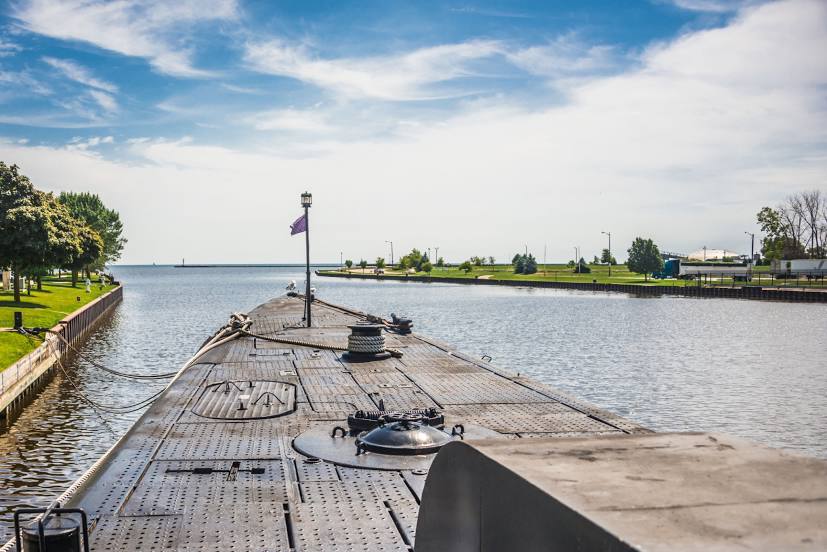
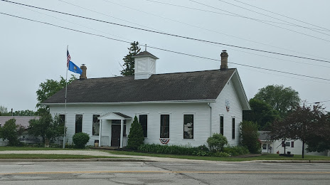
Attractions


Distance to the capital
Distance to the capital (Washington) is about — 1052 km.