 Brimfield
Elk City Regional Business Airport
La Grande
Havre
Orofino
Great Falls
Saint Maries
Chapin
Sumter
Lincoln
LaGrange
Brentwood
Greenwood
Auburn
Lafayette
Pittsburgh
Jackson
Sterling Airport
Fruita
Brimfield
Elk City Regional Business Airport
La Grande
Havre
Orofino
Great Falls
Saint Maries
Chapin
Sumter
Lincoln
LaGrange
Brentwood
Greenwood
Auburn
Lafayette
Pittsburgh
Jackson
Sterling Airport
Fruita
El Monte on the map, United States
Where is located El Monte
Exact location — El Monte, Los Angeles County, California, United States, marked on the map with a red marker.
Coordinates
El Monte, United States coordinates in decimal format: latitude — 34.0686206, longitude — -118.0275667. When converted to degrees, minutes, seconds El Monte has the following coordinates: 34°4′7.03 north latitude and -118°1′39.24 east longitude.
Population
El Monte, Los Angeles County, California, United States, according to our data the population is — 125,372 residents, which is about 0% of the total population of the country (United States).
Comparison of the population on the graph:
Exact time
Time zone for this location El Monte — UTC -7 America/Los_Angeles. Exact time — wednesday, 4 april 2024 year, 19 h. 30 minutes.
Sunrise and sunset
El Monte, sunrise and sunset data for a date — wednesday 24.04.2024.
| Sunrise | Sunset | Day (duration) |
|---|---|---|
| 06:12 -1 minute | 19:28 +1 minute | 13 h. 18 minutes. +2 minutes |
You can control the scale of the map using the auxiliary tools to find out exactly where it is located El Monte. When you change the scale of the map, the width of the ruler also changes (in kilometers and miles).
Nearby cities
The largest cities that are located nearby:
- West Covina — 8 km
- East Los Angeles — 14 km
- Pasadena — 14 km
- Downey — 17 km
- Norwalk — 19 km
- Los Angeles — 20 km
- Glendale — 22 km
- Fullerton — 24 km
- Pomona — 26 km
- Anaheim — 28 km
- Burbank — 29 km
- Universal City — 31 km
- Inglewood — 32 km
- Garden Grove — 34 km
- Ontario — 35 km
- Orange — 35 km
- Long Beach — 36 km
- Torrance — 39 km
- Santa Ana — 39 km
Distance to neighboring capitals:
- Mexico City
 (Mexico) — 2476 km
 - Belmopan
 (Belize) — 3459 km
 - Guatemala City
 (Guatemala) — 3507 km
 - Ottawa
 (Canada) — 3784 km
 - Nuuk
 (Greenland) — 5507 km
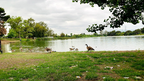
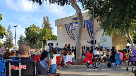
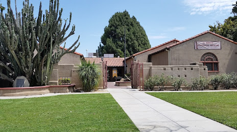
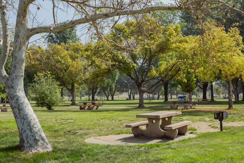
Attractions


Distance to the capital
Distance to the capital (Washington) is about — 3674 km.