 Marianna
Perry
Fort Leavenworth
Monahans
Dennison
Solomon
Fallon
Grover Beach
Westchester
Hemphill
Miller County
Siloam Springs
Bolivar
Rogers
Shell Knob
Mineral Point
Taylorville
Wildwood
El Monte
Marianna
Perry
Fort Leavenworth
Monahans
Dennison
Solomon
Fallon
Grover Beach
Westchester
Hemphill
Miller County
Siloam Springs
Bolivar
Rogers
Shell Knob
Mineral Point
Taylorville
Wildwood
El Monte
Sumter on the map, United States
Where is located Sumter
Exact location — Sumter, Sumter County, South Carolina, United States, marked on the map with a red marker.
Coordinates
Sumter, United States coordinates in decimal format: latitude — 33.9204354, longitude — -80.3414693. When converted to degrees, minutes, seconds Sumter has the following coordinates: 33°55′13.57 north latitude and -80°20′29.29 east longitude.
Population
Sumter, Sumter County, South Carolina, United States, according to our data the population is — 40,079 residents, which is about 0% of the total population of the country (United States).
Comparison of the population on the graph:
Exact time
Time zone for this location Sumter — UTC -4 America/New_York. Exact time — friday, 4 april 2024 year, 20 h. 11 minutes.
Sunrise and sunset
Sumter, sunrise and sunset data for a date — friday 19.04.2024.
| Sunrise | Sunset | Day (duration) |
|---|---|---|
| 06:47 -1 minute | 19:53 +1 minute | 13 h. 6 minutes. +2 minutes |
You can control the scale of the map using the auxiliary tools to find out exactly where it is located Sumter. When you change the scale of the map, the width of the ruler also changes (in kilometers and miles).
Nearby cities
The largest cities that are located nearby:
- Columbia — 64 km
- Charleston — 132 km
- Charlotte — 151 km
- Fayetteville — 182 km
- Savannah — 215 km
- Winston-Salem — 241 km
- Greensboro — 243 km
- Cary — 250 km
- Raleigh — 256 km
- Durham — 263 km
- Atlanta — 372 km
- Knoxville — 392 km
- Jacksonville — 416 km
- Chattanooga — 467 km
- Richmond — 474 km
- Chesapeake — 478 km
- Norfolk — 483 km
- Hampton — 493 km
- Virginia Beach — 504 km
Distance to neighboring capitals:
- Ottawa
 (Canada) — 1339 km
 - Belmopan
 (Belize) — 2035 km
 - Guatemala City
 (Guatemala) — 2380 km
 - Mexico City
 (Mexico) — 2459 km
 - Nuuk
 (Greenland) — 3887 km
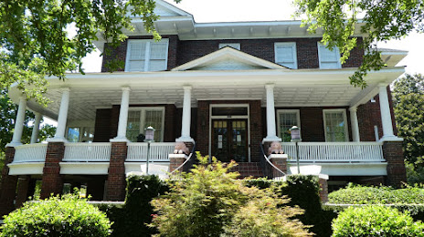
Attractions


Distance to the capital
Distance to the capital (Washington) is about — 628 km.