 Fort Leavenworth
Monahans
Dennison
Solomon
Fallon
Grover Beach
Westchester
Humboldt
Tryon
Sundance
Weslaco
Hemphill
Miller County
Siloam Springs
Bolivar
Rogers
Shell Knob
Mineral Point
Taylorville
Fort Leavenworth
Monahans
Dennison
Solomon
Fallon
Grover Beach
Westchester
Humboldt
Tryon
Sundance
Weslaco
Hemphill
Miller County
Siloam Springs
Bolivar
Rogers
Shell Knob
Mineral Point
Taylorville
Grand Haven on the map, United States
Where is located Grand Haven
Exact location — Grand Haven, Ottawa County, Michigan, United States, marked on the map with a red marker.
Coordinates
Grand Haven, United States coordinates in decimal format: latitude — 43.0630734, longitude — -86.2283864. When converted to degrees, minutes, seconds Grand Haven has the following coordinates: 43°3′47.06 north latitude and -86°13′42.19 east longitude.
Population
Grand Haven, Ottawa County, Michigan, United States, according to our data the population is — 10,644 residents, which is about 0% of the total population of the country (United States).
Comparison of the population on the graph:
Exact time
Time zone for this location Grand Haven — UTC -4 America/New_York. Exact time — wednesday, 4 april 2024 year, 16 h. 26 minutes.
Sunrise and sunset
Grand Haven, sunrise and sunset data for a date — wednesday 17.04.2024.
| Sunrise | Sunset | Day (duration) |
|---|---|---|
| 07:01 -2 minutes | 20:27 +2 minutes | 13 h. 24 minutes. +4 minutes |
You can control the scale of the map using the auxiliary tools to find out exactly where it is located Grand Haven. When you change the scale of the map, the width of the ruler also changes (in kilometers and miles).
Nearby cities
The largest cities that are located nearby:
- Grand Rapids — 47 km
- Milwaukee — 136 km
- Lansing — 141 km
- South Bend — 153 km
- Chicago — 175 km
- Flint — 206 km
- Green Bay — 214 km
- Naperville — 215 km
- Ann Arbor — 221 km
- Aurora — 225 km
- Joliet — 229 km
- Fort Wayne — 237 km
- Rockford — 250 km
- Madison — 256 km
- Sterling Heights — 266 km
- Warren — 269 km
- Toledo — 270 km
- Detroit — 272 km
- Windsor
 (Canada) — 274 km
Distance to neighboring capitals:
- Ottawa (Canada) — 878 km
- Belmopan
 (Belize) — 2881 km
 - Mexico City
 (Mexico) — 2893 km
 - Guatemala City
 (Guatemala) — 3191 km
 - Nuuk
 (Greenland) — 3195 km
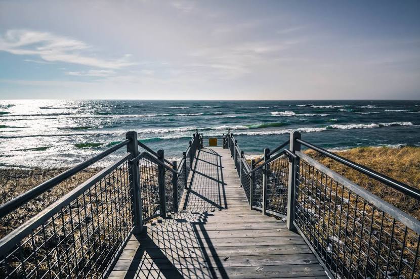
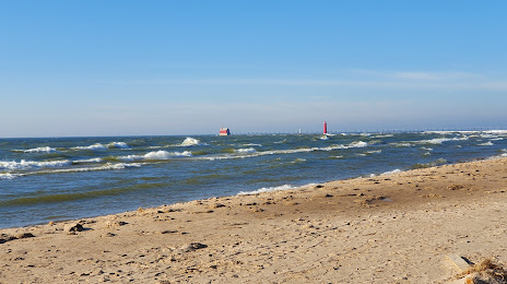
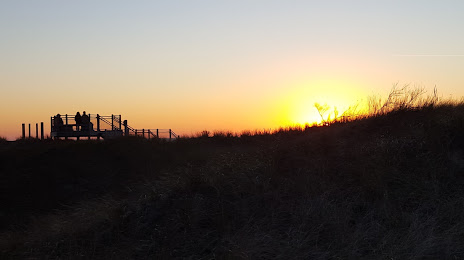
Attractions


Distance to the capital
Distance to the capital (Washington) is about — 899 km.