 Grover Beach
Westchester
Humboldt
Tryon
Owens Cross Roads
Eau Claire
New Richmond
Mondovi
Wisconsin Dells
Orofino
Havre
La Grande
Elk City Regional Business Airport
Brimfield
Sundance
Weslaco
Hemphill
Miller County
Siloam Springs
Grover Beach
Westchester
Humboldt
Tryon
Owens Cross Roads
Eau Claire
New Richmond
Mondovi
Wisconsin Dells
Orofino
Havre
La Grande
Elk City Regional Business Airport
Brimfield
Sundance
Weslaco
Hemphill
Miller County
Siloam Springs
Warrenville on the map, United States
Where is located Warrenville
Exact location — Warrenville, DuPage County, Illinois, United States, marked on the map with a red marker.
Coordinates
Warrenville, United States coordinates in decimal format: latitude — 41.817807, longitude — -88.1734021. When converted to degrees, minutes, seconds Warrenville has the following coordinates: 41°49′4.11 north latitude and -88°10′24.25 east longitude.
Population
Warrenville, DuPage County, Illinois, United States, according to our data the population is — 13,179 residents, which is about 0% of the total population of the country (United States).
Comparison of the population on the graph:
Exact time
Time zone for this location Warrenville — UTC -5 America/Chicago. Exact time — friday, 4 april 2024 year, 20 h. 00 minutes.
Sunrise and sunset
Warrenville, sunrise and sunset data for a date — friday 19.04.2024.
| Sunrise | Sunset | Day (duration) |
|---|---|---|
| 06:08 -1 minute | 19:35 +1 minute | 13 h. 30 minutes. +2 minutes |
You can control the scale of the map using the auxiliary tools to find out exactly where it is located Warrenville. When you change the scale of the map, the width of the ruler also changes (in kilometers and miles).
Nearby cities
The largest cities that are located nearby:
- Naperville — 8 km
- Aurora — 14 km
- Joliet — 33 km
- Chicago — 45 km
- Rockford — 90 km
- Milwaukee — 137 km
- South Bend — 159 km
- Madison — 171 km
- Peoria — 172 km
- Grand Rapids — 239 km
- Fort Wayne — 266 km
- Indianapolis — 284 km
- Green Bay — 299 km
- Lansing — 311 km
- Ann Arbor — 366 km
- Toledo — 382 km
- Flint — 386 km
- Saint Louis — 394 km
- Detroit — 423 km
Distance to neighboring capitals:
- Ottawa
 (Canada) — 1080 km
 - Mexico City
 (Mexico) — 2696 km
 - Belmopan
 (Belize) — 2733 km
 - Guatemala City
 (Guatemala) — 3034 km
 - Nuuk
 (Greenland) — 3396 km
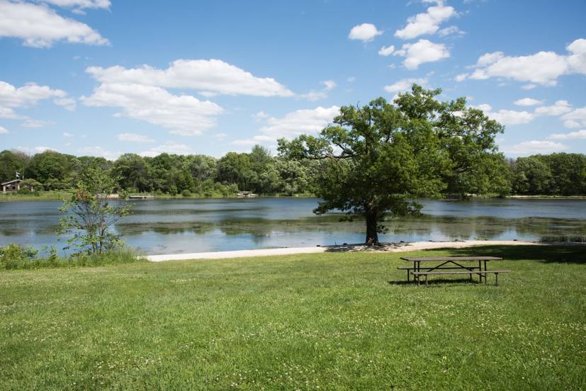
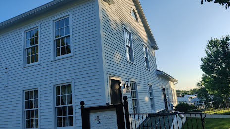
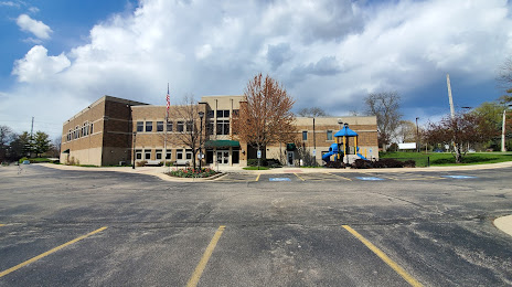
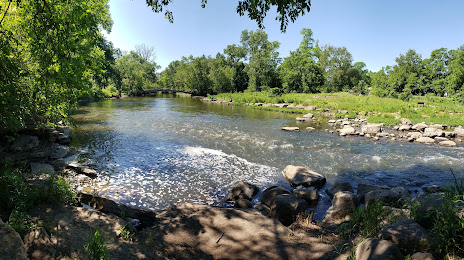
Attractions


Distance to the capital
Distance to the capital (Washington) is about — 997 km.