 Westchester
Humboldt
Tryon
Owens Cross Roads
Eau Claire
New Richmond
Mondovi
Wisconsin Dells
Floodwood
Great Falls
Orofino
Havre
La Grande
Elk City Regional Business Airport
Brimfield
Sundance
Weslaco
Hemphill
Miller County
Westchester
Humboldt
Tryon
Owens Cross Roads
Eau Claire
New Richmond
Mondovi
Wisconsin Dells
Floodwood
Great Falls
Orofino
Havre
La Grande
Elk City Regional Business Airport
Brimfield
Sundance
Weslaco
Hemphill
Miller County
Glen Ellyn on the map, United States
Where is located Glen Ellyn
Exact location — Glen Ellyn, DuPage County, Illinois, United States, marked on the map with a red marker.
Coordinates
Glen Ellyn, United States coordinates in decimal format: latitude — 41.8775293, longitude — -88.0670118. When converted to degrees, minutes, seconds Glen Ellyn has the following coordinates: 41°52′39.11 north latitude and -88°4′1.24 east longitude.
Population
Glen Ellyn, DuPage County, Illinois, United States, according to our data the population is — 27,276 residents, which is about 0% of the total population of the country (United States).
Comparison of the population on the graph:
Exact time
Time zone for this location Glen Ellyn — UTC -5 America/Chicago. Exact time — saturday, 4 april 2024 year, 05 h. 39 minutes.
Sunrise and sunset
Glen Ellyn, sunrise and sunset data for a date — saturday 20.04.2024.
| Sunrise | Sunset | Day (duration) |
|---|---|---|
| 06:06 -1 minute | 19:35 +1 minute | 13 h. 30 minutes. +2 minutes |
You can control the scale of the map using the auxiliary tools to find out exactly where it is located Glen Ellyn. When you change the scale of the map, the width of the ruler also changes (in kilometers and miles).
Nearby cities
The largest cities that are located nearby:
- Naperville — 16 km
- Aurora — 25 km
- Chicago — 36 km
- Joliet — 39 km
- Rockford — 95 km
- Milwaukee — 129 km
- South Bend — 152 km
- Madison — 171 km
- Peoria — 183 km
- Grand Rapids — 228 km
- Fort Wayne — 259 km
- Indianapolis — 284 km
- Green Bay — 292 km
- Lansing — 300 km
- Ann Arbor — 357 km
- Toledo — 373 km
- Flint — 376 km
- Saint Louis — 404 km
- Detroit — 413 km
Distance to neighboring capitals:
- Ottawa
 (Canada) — 1069 km
 - Mexico City
 (Mexico) — 2706 km
 - Belmopan
 (Belize) — 2740 km
 - Guatemala City
 (Guatemala) — 3042 km
 - Nuuk
 (Greenland) — 3385 km
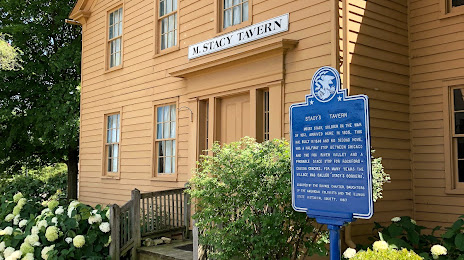
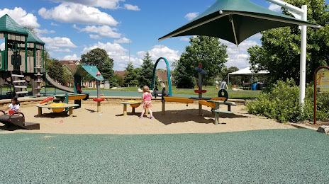
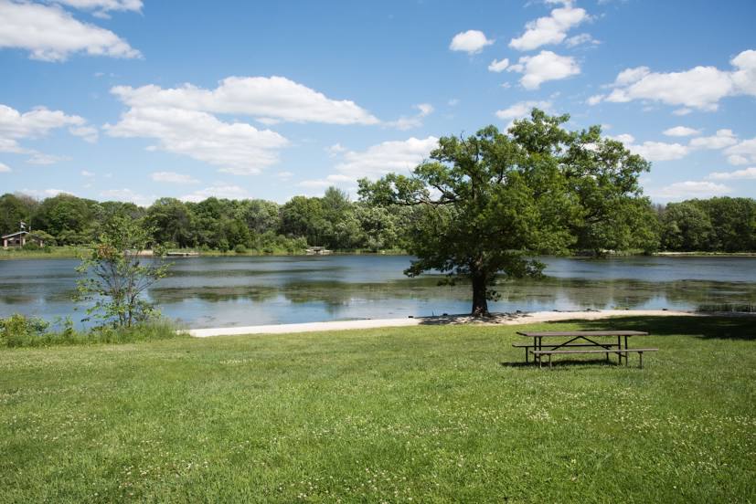
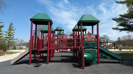
Attractions


Distance to the capital
Distance to the capital (Washington) is about — 990 km.